|
THE COON FAMILY HIKING CLUB
POWERED BY DWLZ.com |

|
| [ Home ] [ DWLZ ] [ Message Board ] [ Restaurants ] [ Order Cookbooks ] [ Dotti's Newsletter ] [ Support Dotti ] [ FAQs ] [ Email Dotti ] [ Email Al ] |
THINGS YOU
MIGHT ENJOY
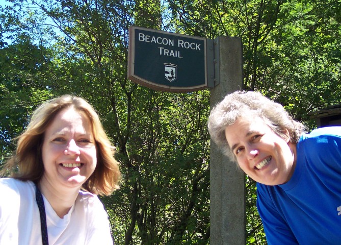
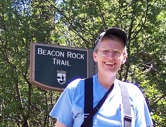
BEACON ROCK
July 4, 2004
The Coon Family Hiking Club
Official 2004 Hike #5
LENGTH OF HIKES
2.5 miles - 1 hours 38 minutes
1.8 miles - 1 hours 15 minutes
|
Our dear friends Jim and Tammy were down for the Fourth of July weekend, and so we all headed out on the Fourth for a Washington State hike. We decided to do a double hike, since the Beacon Rock State Park has two separate hiking trail attractions. There is of course the Hamilton Mountain trail, which Dotti and I did on June 13 this year, and then there is the Beacon Rock Trail that leads to the top of the volcanic structure for which it is named.
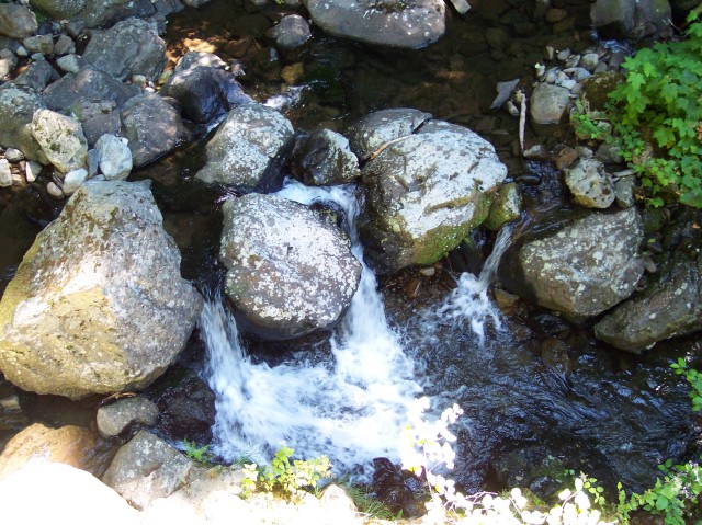
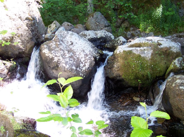
Dotti and I were so impressed with the falls on the Hamilton Mountain trail, that we wanted to share them with Jim and Tammy. The falls were a mile and a quarter up the trail, and so the round trip would only be 2.5 miles. That would leave us enough energy for the 1.8 miles round trip to the top of Beacon Rock. We had a lot of fun, as you will probably be able to tell from the pictures, and by the end of the day we had gone 4.3 miles, and gone through a total elevation change of 1190 feet. |
||
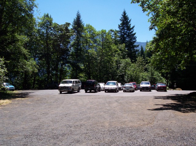
| Here you can see our white van parked in the parking lot for the Hamilton Mountain trailhead. Its elevation is 400 feet. Our destination was the set of waterfalls located at the 1000-foot level. So, we would cover 1.25 miles as we climbed 600 feet, before turning around and heading back. | |
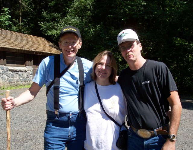
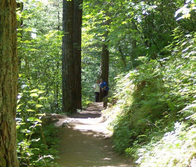
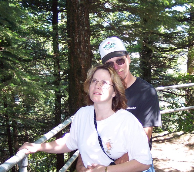
| Dotti took this shot of Jim, Tammy, and myself, from right to left. In the background is the restroom, which is always welcome at a trailhead, and, just behind the trees, the trail that we would be walking on shortly, would track very closely a line drawn from peak of the roof of the restroom right across the tops of our heads. |
|
|
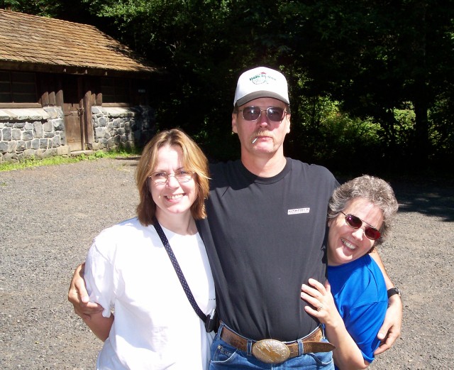
| Dotti and I swapped places for this picture, and she is hiding behind Jim, whose toothpick reminds us that all four of us used to be heavy smokers, and now for over 2 years, we have all been smoke-free! | |
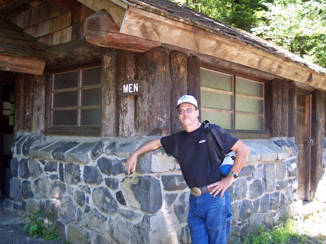
| Jim and I were waiting for the ladies. |
|
|
| Jim on the trail, as we were just starting out. The day was nice and sunny; quite different than the weather that Dotti and I had on our last visit to this trail. But it wasn't too hot. A perfect day for hiking. | |
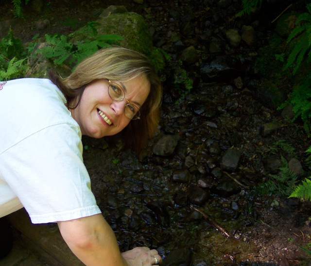
| Tammy was inspecting the stream we were crossing over and Dotti snapped this picture. |
|
|

| Here is my lovely Dotti with the power lines from the Bonneville Dam running overhead, and the dam itself off in the distance. | |
| Tammy and Jim having entirely too much fun. |
|
|
| At the power line crossing there is a junction with the trail that leads in from the campground. On that trail, just up from our position, there is a bench that was made out of a single log that was cut in half, and one of the halves was rotated 90º and mounted in that position. Jim was enjoying the view of the dam. | |
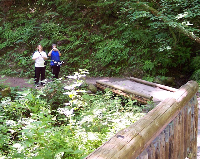
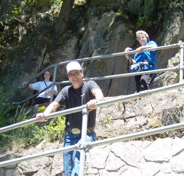
| Jim and I were a bit ahead at this point and we were standing on a scenic bridge, that we felt was a good "photo op." Dotti is snapping a picture of Jim and I, and Tammy is getting ready to do the same. |
|
|
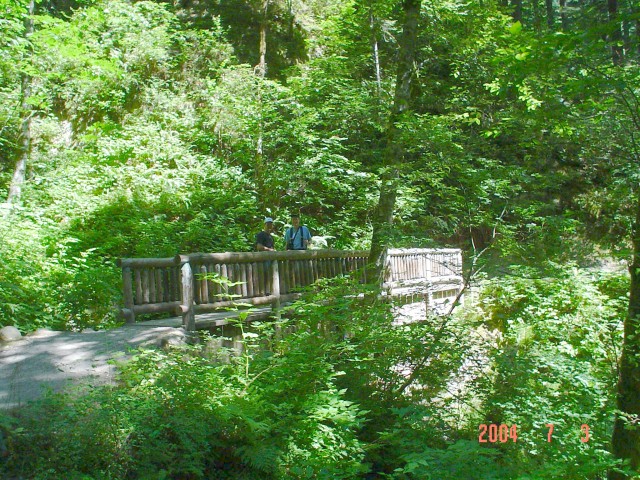
| This is Tammy's shot. (On some of the pictures that were taken with her camera, the date is displayed. FYI: the camera's date was set for July 3, but it was really July 4 when the pictures were taken.) The foliage is lushly green, and the water flowing under the bridge added a very cheery sound to the setting. | |
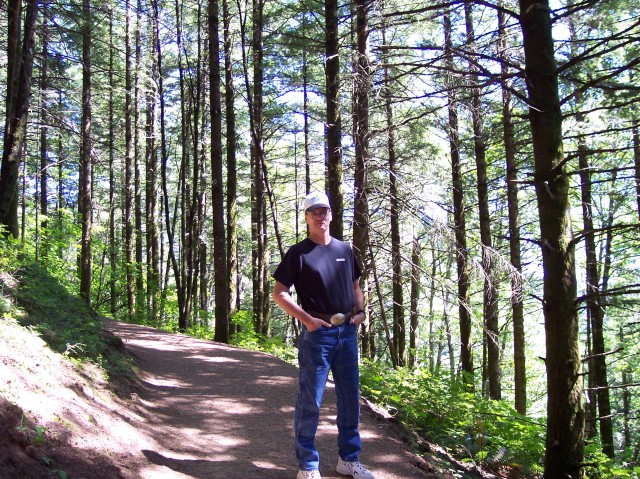
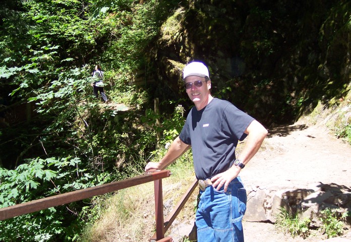
| Jim is looking up the creek. I have my walking stick in hand, and my camera bag slung over my shoulder. |

|
|

| These two beautiful women were smiling all day long, making the trail even more scenically marvelous than it normally is. | |
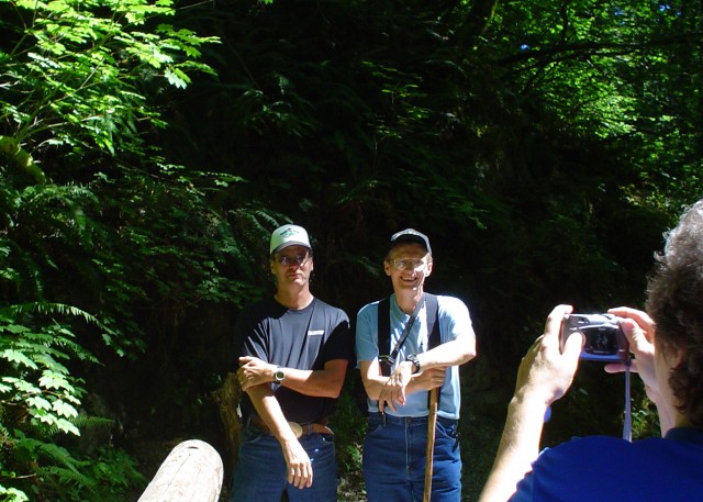
| Tammy's picture of Dotti, taking a picture of Jim and Al. You can even see the small image of us guys on the display panel of Dotti's camera. |
|
|
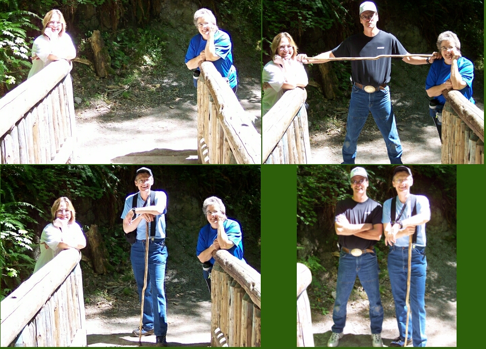
| We took so many pictures at this location that I put them together in a collage. | |
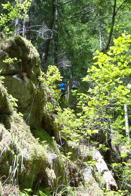
| Back on the trail again. The ladies were busy visiting with each other, and we had wandered off a bit ahead of them. |
|
|
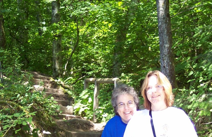
| Dotti and Tammy on the steps leading to the viewing platform for Hardy Falls. | |
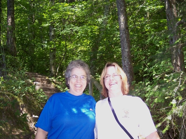
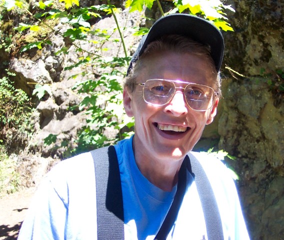
| Dotti came out of hiding for this one. Don't they look happy? The entire day of hiking was a very enjoyable time for all of us. |
|
|
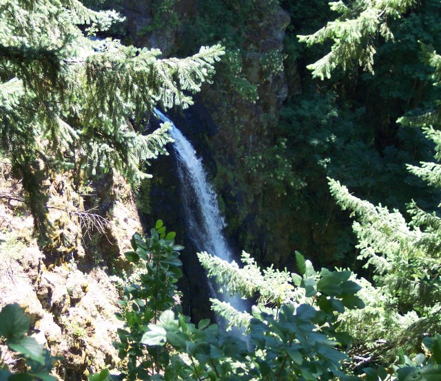
| This is the best view of Hardy Falls that we could get from the viewing platform. However, Jim mentioned the fact that it would not be too difficult to work our way down closer. That sounded good to me! | |
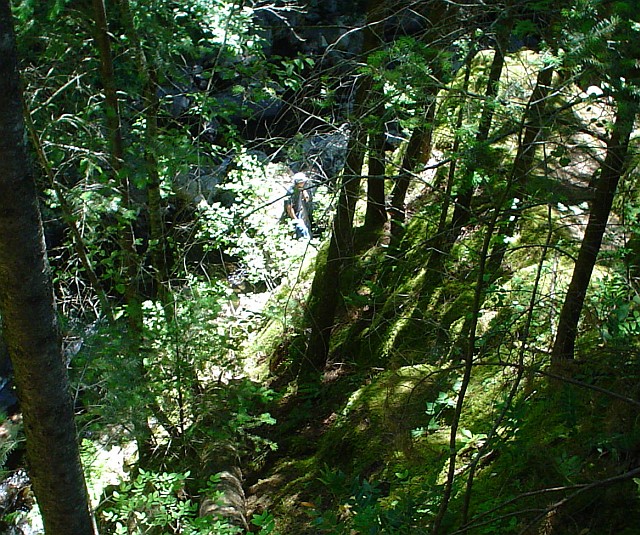
| The ladies remained on the platform, as Jim and I headed down to the top of the falls. We are most of the way down at this point. The Hardy Creek is just over my shoulder. |
|
|
| Looking back up from Hardy Creek at the ladies. | |
| Taken from the same location using the zoom. |
|
|
| Jim down by Hardy Creek. | |
| Water that is just about to take a plunge over the Hardy Falls. |
|
|
| Jim, posed right above Hardy Creek. | |
| Here I had worked my way around towards the top of the falls, and was looking back upstream at Hardy Creek. |
|
|

| Jim found a comfortable spot on the rock. | |
| Jim working his way around a bolder on the narrow trail by the creek. |
|
|
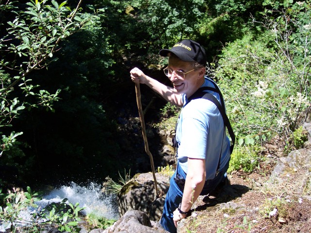
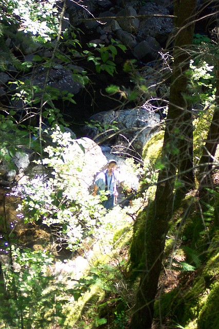
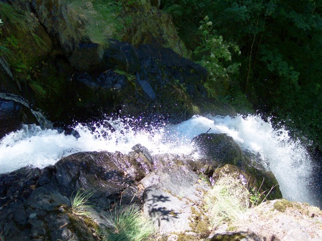
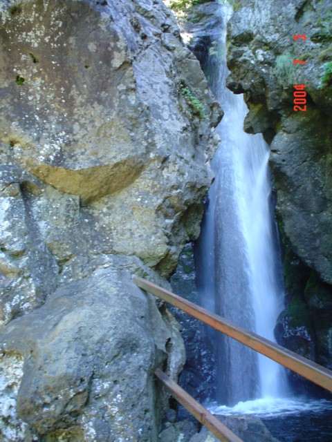
| Who is that crazy guy on the ledge? The Hardy Falls were turning white right at my feet. I stuck my camera out over the falls for the two shots that follow. (Dotti and Tammy were discussing the fact that they were glad our life insurance was paid up with us guys climbing around down here.) | |
| The top of Hardy Falls. |
|
|
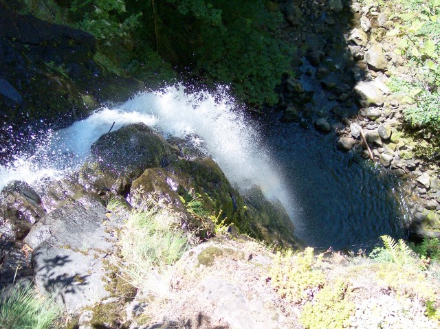
| The entire drop of the falls, viewed from the top. | |
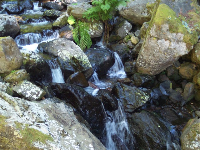
| I was working my way back up the creek from the top of the falls and thought the creek looked really pretty falling across these rocks. |
|
|

| Continuing on upstream. | |
| We are finally making our ascent back to the viewing platform. |

|
|
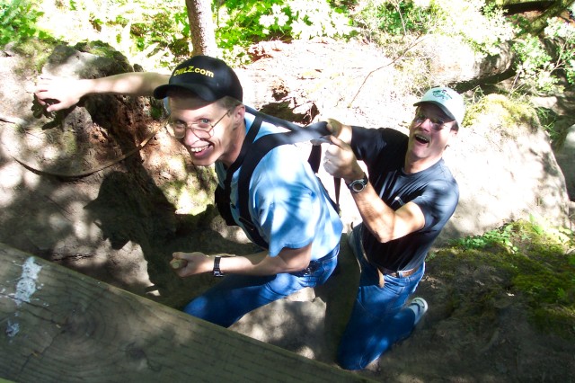
| Jim grabbing an assist from my suspenders. | |
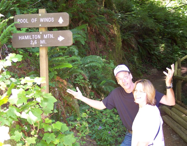
| Let's see. Do we go for the prize and head the 2.6 miles to the top of Hamilton Mountain, or do we move up to the Pool of Winds at Rodney Falls? |
|
|
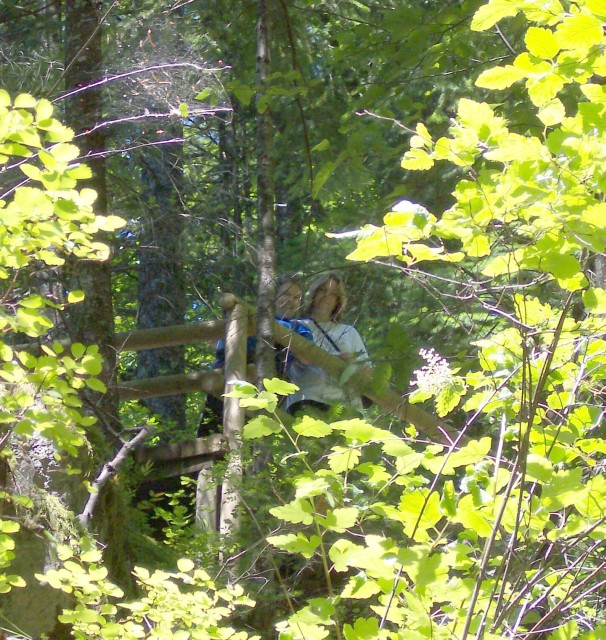
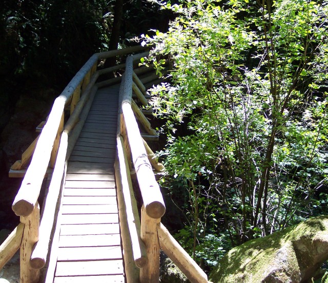
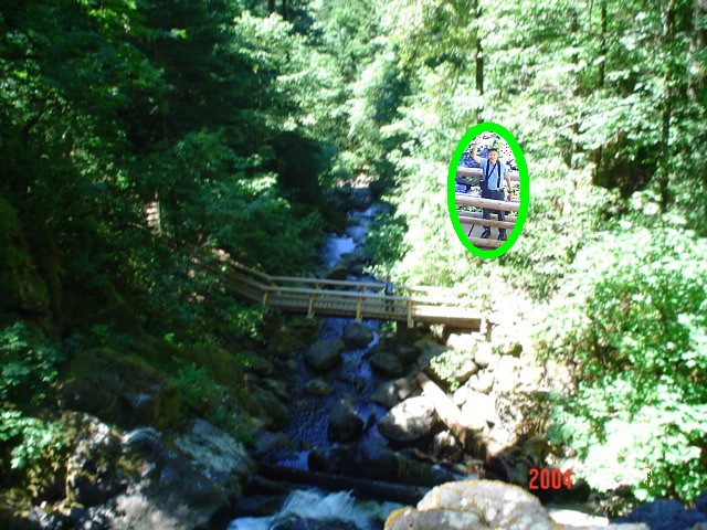
| This is the path to Hamilton Mountain, but I am only taking it as far as the bridge across Hardy Creek at the base of Rodney Falls. When we first got up to the Pool of Winds, there was a group of people ahead of us, so I ran down to the bridge to get some shots of the others at the top. | |
| Here is the bridge that is part of the trail leading to the top of Hamilton Mountain. |
|
|
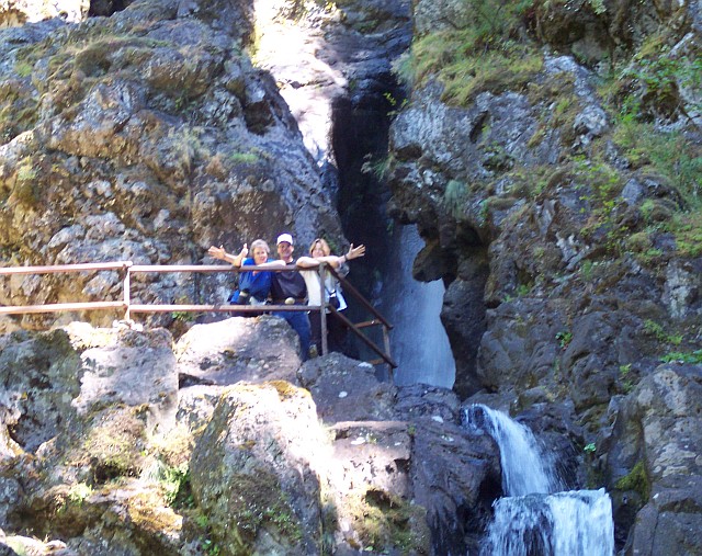
| I am standing on the bridge and looking up at Dotti, Jim, and Tammy beside the Pool of Winds. Dotti is giving the "thumbs up" that our destination has been reached. | |
| Tammy snapped this picture of me standing on the bridge. The image in the green ellipse is one that Dotti took with the zoom. |
|
|
| Tammy took this picture of Dotti at the Pool of Winds platform. | |
| Dotti took a few pictures of Tammy at the Pool of Winds as well. Here I put two of them together. |
|
|
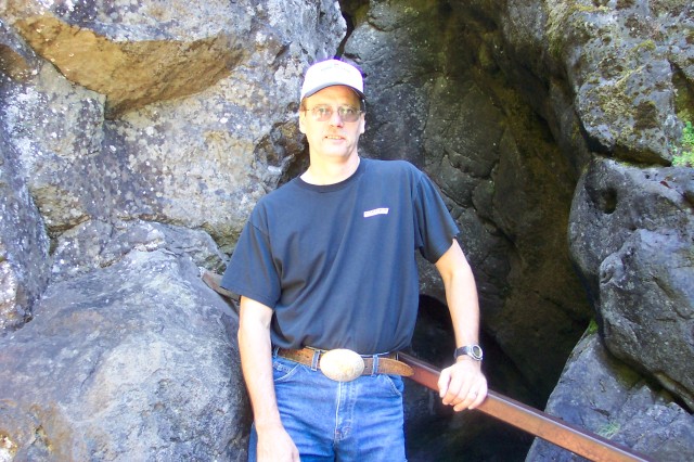
| I had finally scrambled back up to the top to take this picture of Jim. | |
| Dotti caught me up close. |
|
|
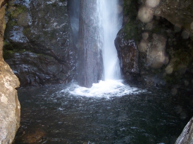
| Jim standing at the opening of the Pool of Winds. Dotti and I were surprised at how different it was this time. Where Jim is standing in this picture there was strong mist pouring out last time. He was able to remain perfectly dry standing there on July 4. You can see that the surrounding rock is all dry, even inside the fall pool chamber in the background. The last time we were here, everything was wet, and the wind and mist was pouring out of the opening behind where Jim is standing. | |
| Tammy captured this view of Rodney Falls through the opening in the chamber. Something that was not visible at all during our last visit was the log that has been placed beneath the falls. The water was flowing so heavily the last time that we couldn't see that log at all. |
|
|

| The very top of the drop. | |
| As we move to the bottom of the falls, the surrounding rock is damp, and it looks like the camera lens may have a drop or two of mist on it. The log is clearly visible. We speculated that the log may have been intentionally placed there in order to slow erosion. Although many waterfalls have fallen trees laying across them, the length of this log was exactly right to fit in under the falls, and there are no roots or branches visible. |
|
|
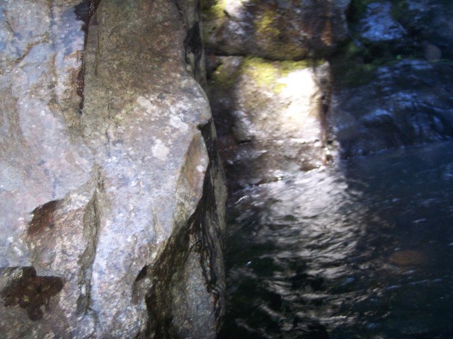
| I was able to stick my camera out around the corner to the left and capture a picture of the portion of the chamber we could not view directly. There is a quite square corner to this part of the chamber, which I found interesting. The water is rippled, but it is not wildly agitated, as it would have been during our last visit. | |
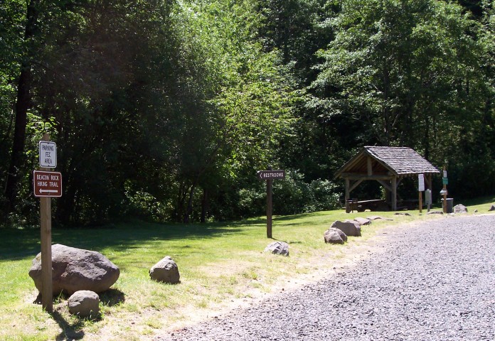
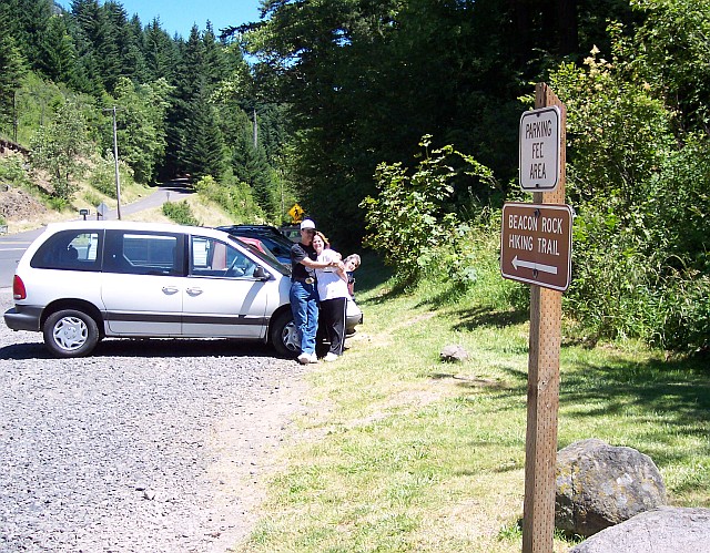
| A few things have happened between when the last picture was taken and this one was. We returned from the falls to our van, and then we drove a short distance down to the Beacon Rock parking area. The elevation at this point is 260 feet above sea level. That is 140 feet down from the Hamilton Mountain trailhead parking lot, from wince we just had come. From here we would climb 590 feet to the top of the rock, which stands 750 feet above the Columbia River, and 850 feet above sea level. A sign points the way to the Beacon Rock Hiking Trail. |
|
|
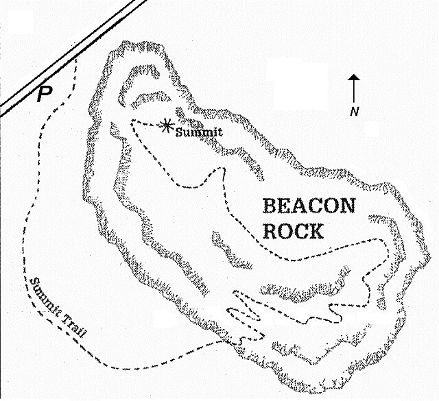 Beacon Rock, viewed from directly above, stands roughly in the shape of an egg, with its narrower end pointed to the northwest. The parking lot is located at that narrower end. The trail at first led us around the rock to the south, and we actually began our ascent on the rock's south western flank. After many switchbacks had been traversed, we had worked our way around Beacon Rock to where we were on the southeastern edge, with a fine view of the river and the Bonneville Dam. From there the path ran nearly directly northwest to the 850-foot summit, in the smaller northwester section, located almost directly over the parking lot below.
|
||
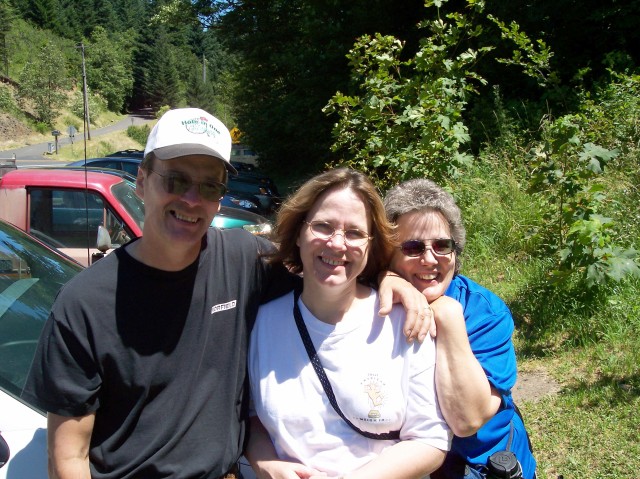
| Looking east, the sign is once again visible in the foreground, and our van, Jim, Tammy, and Dotti's head are all visible in the background. | |
| Moving a little close to the happy group. |
|
|
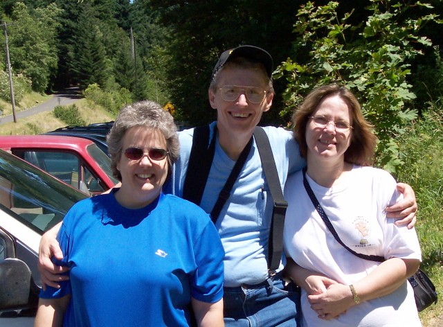
| Jim and I swapped places for this picture. | |
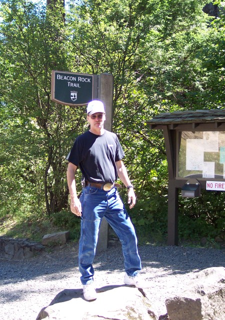
| Jim already standing on top of a rock, with the trailhead sign behind him. |
|
|
| Tammy and Dotti ready to start walking. | |
| Here's Al bringing up the rear. |
|
|
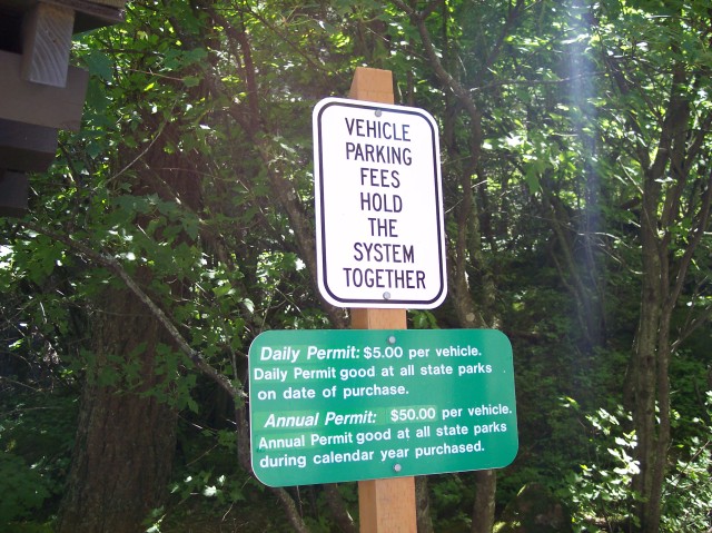
| The parking fee we paid at the Hamilton Mountain parking lot was still good over here. | |
| The other 3 were all in single file ahead of me. |

|
|
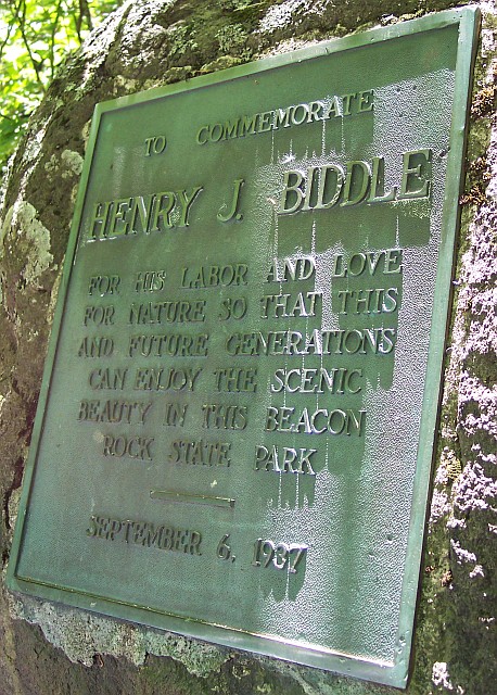
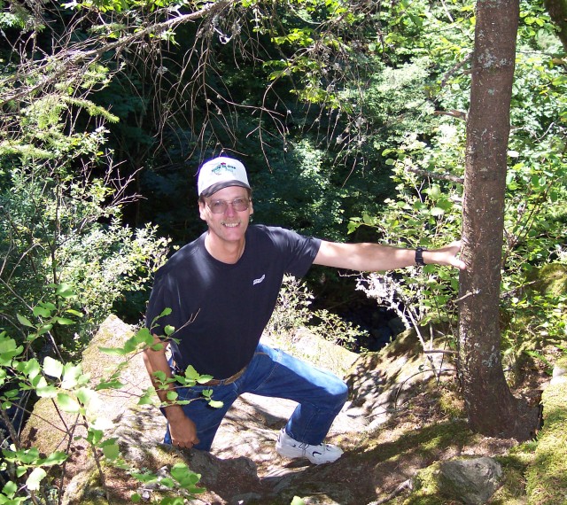
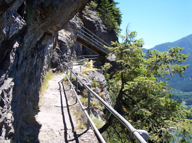
| The last time Dotti and I went up this trail created by Henry J. Biddle, we both weighed about 240 pounds. Between the two of us, we are well over 100 pounds lighter this time around, and it sure made it easier! This plaque was placed in 1937, but Biddle purchased the rock in 1915 and started construction on the trail that we were about to take. There are 47 switch backs on this 0.9 mile trail! That averages out to about 1 switchback for every 100 feet of travel forward. There also are dozens of "railed catwalk bridges" along the route. Considering how tall the rock is, the ascent was very easy and thanks to Mr. Biddle, we were able to enjoy this beautiful hike. | |
| Here's my lovely Dotti on the trail, just before we actually started our ascent of Beacon Rock. |

|
|
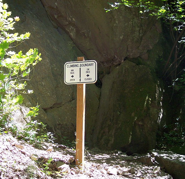
| Beacon Rock is also used by rock climbers—as in ropes and spikes and lots of sweat. They warn against throwing anything from off the top of the rock for the protection for the rock climbers. The NW face is open for climbing, in case you might be interested in doing that; we weren't. | |
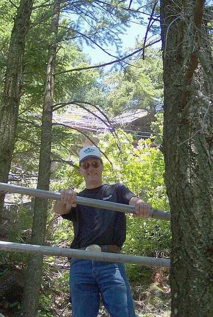
| Finally we begin our actual ascent of Beacon Rock. There is a gate that can be closed and locked up ahead, and just barely visible in this picture. |
|
|
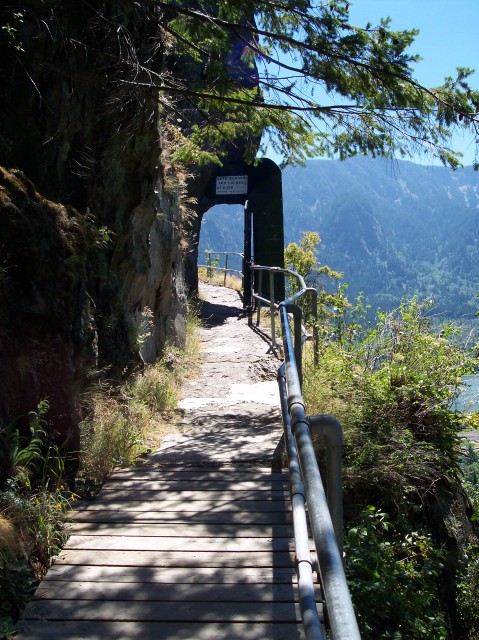
| The gate stands open, allowing passage. Did the sign above the gate say, "Abandon all hope ye who enter here"? No, it only said, "GATE CLOSED AND LOCKED AT DUSK—TRAIL HOURS 8 AM—DUSK." | |
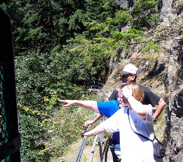
| I was standing in the gate and looking back at the others when I snapped this shot. Dotti had spotted Horsetail Falls and was pointing it out to Tammy. |
|
|
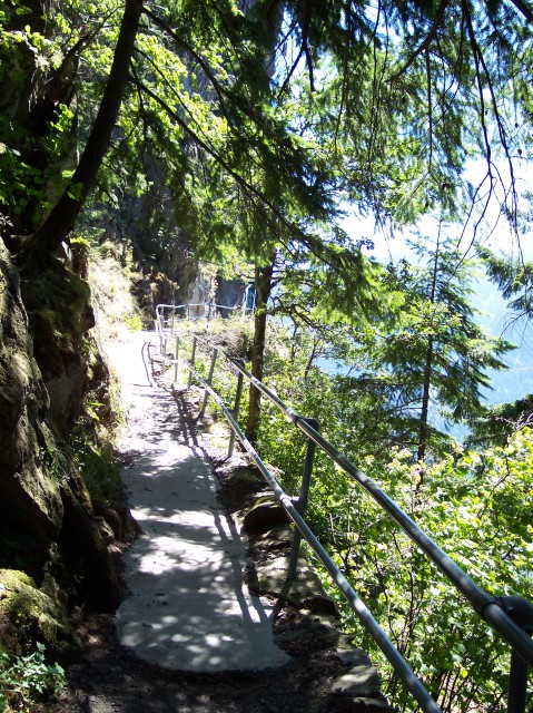
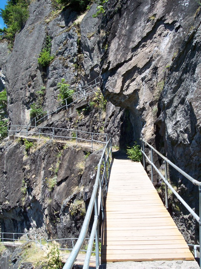
| This shot gives you a feel for the way the trail is laid out. You walk forward a few feet, do a 180º turn, walk a few feet more, do another switchback and then head over to a third reversal in direction to end up on a bridge moving you upwards to the next set of switchbacks. | |
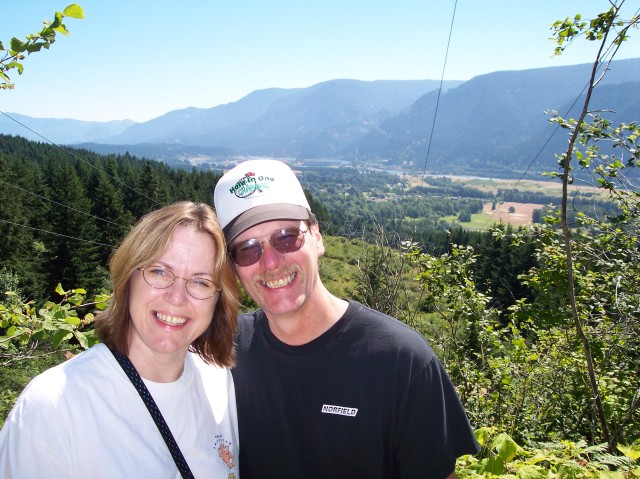
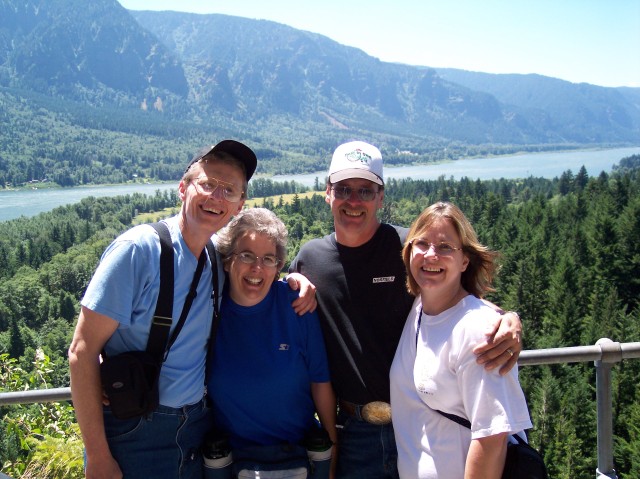
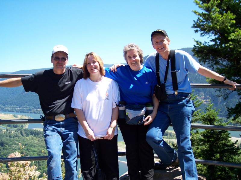
| One friendly soul offered to snap a picture for us of the entire group. With the rail between us and the drop, the Columbia Gorge stretches off into the distance behind us. |
|
|
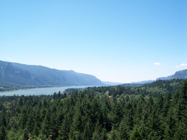
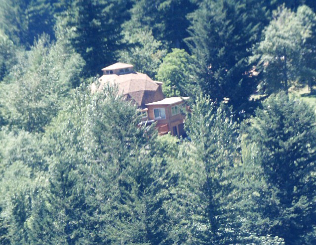
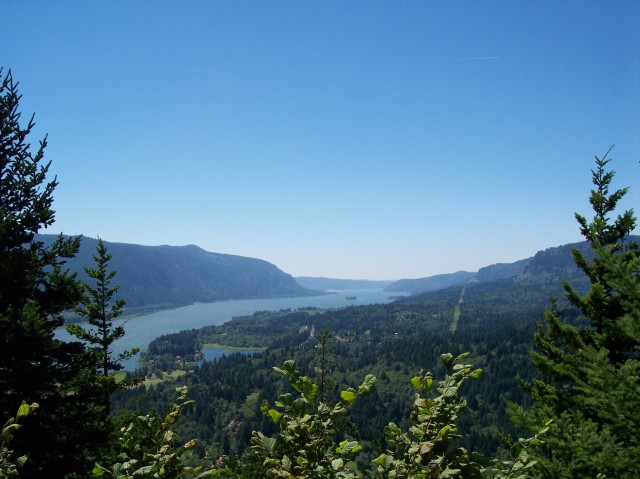
| Looking west at the Columbia River Gorge. Although not visible, Multnomah Falls is on the left behind a protruding volcanic ridge. Off in the distance, the Gorge is ending and the terrain is leveling out into the Willamette Valley. Nestled in among the trees there is a geodesic dome house. Dotti broke out our binocular camera to see if she could get a better look at it. | |
| The little triangular pieces that make up the dome are clearly visible in this photo. What a great location for a house! |
|
|
| Here we have finally worked our way around to the south, and are beginning to get a view directly across the Gorge. | |
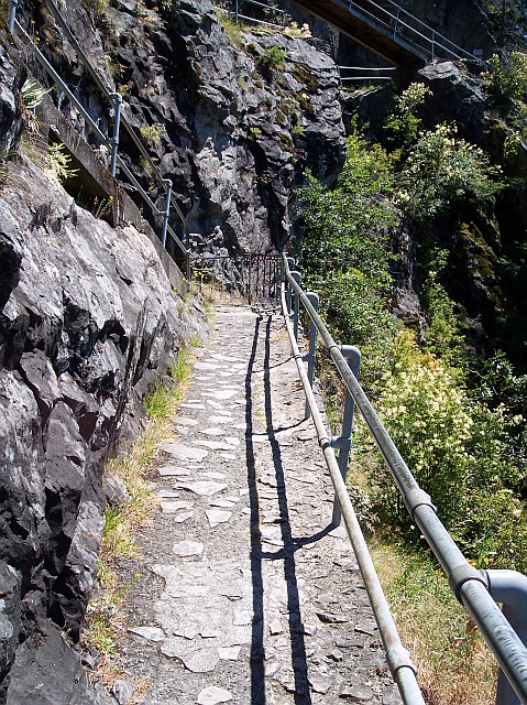
| The rugged path cut from the stone, lined with steel bars, and mounted by a steel bridge fight to capture your attention. At the same time there is an interesting struggle going on just below the path. Here is a tree that has taken root in the stone, and its trunk has very nearly a 90º bend in it as it shoots straight outward at first, and then turns to move in the vertical direction. It was amazing the amount of plant life that was growing on this solid piece of volcanic rock. |
|
|
|
Walking across a bridge, and heading for a switchback cut into the solid rock wall.
Beacon Rock was named on Halloween, in 1805, when William Clark described it in his journal. It marked the end of what was later to be known as the Cascade Rapids, and the beginning of measurable tidal influences on the water level. The Lewis and Clark Corps of Discovery was nearing the Pacific Ocean when it hit Beacon Rock! Beacon Rock is a volcanic plug, much like the one that forms the dome in the crater on Mt. St. Helens. When a volcano's eruption comes to an end, it often moves heavier, more dense rock up into its throat, creating a very durable plug. The Western Cascade mountains are much older than the "High Cascades." After so much time has passed, even mountains are worn down. In the case of Beacon Rock, the entire softer surrounding mountain has been completely eroded away, leaving only the plug to stand on its own. There are a number of examples of this phenomenon in Oregon and in Washington. I am often struck with the oddness of the idea of humans building cities, climbing and camping for sport and so forth upon rocks that once were so hot they were liquid. Today you can often see where they once flowed, but today they are solid ground. Tomorrow? Who knows? |
|
| From yet another bridge, looking downward at the path we had just walked. |
|
|
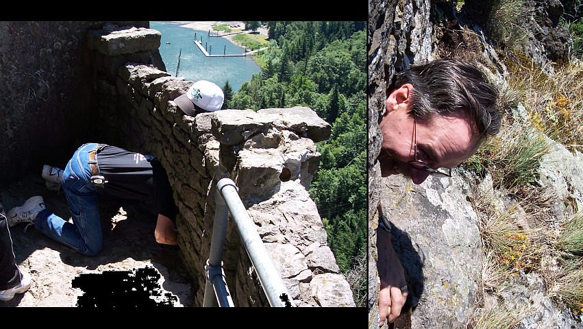
| With his head pointed nearly due west, Jim is inserting himself into an opening in the rock wall. I leaned over the wall and captured a picture of his head looking down the vertical drop. | |
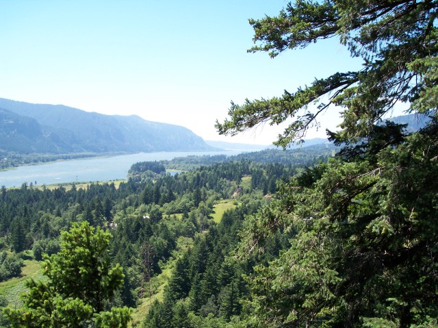
| Another westward looking view of the Gorge. |
|
|
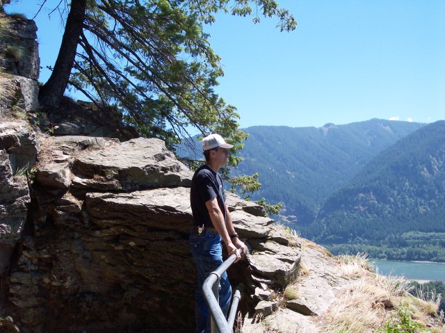
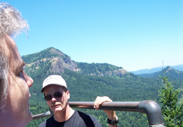
| With Oregon in the background, and standing his home state of Washington, Jim is looking down the Gorge to the west. Another amazing tree is growing out of the rock behind him. | |
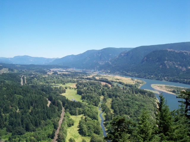
| We have finally worked our way around to where we can see to the east. Off in the distance we can see Bonneville Dam. |
|
|
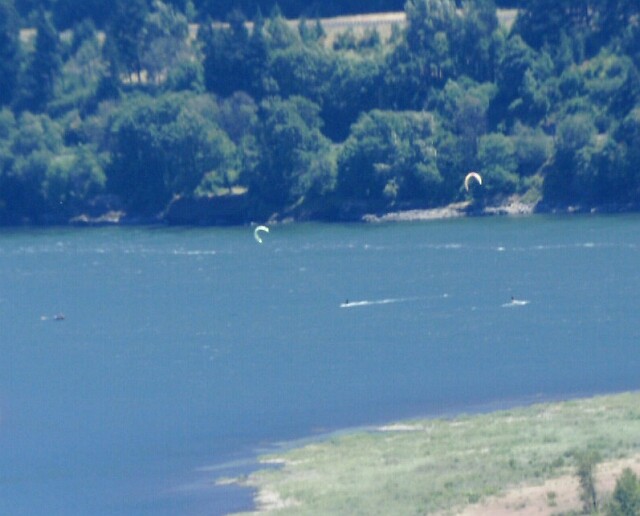
| Looking south we can could see wind skiers, with their wind sails up in the air. | |
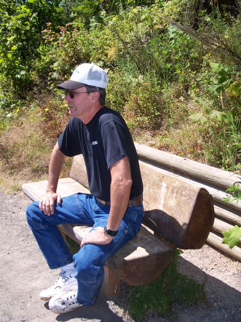
| Tammy and Jim taking a moment to relax on the way up. |
|
|
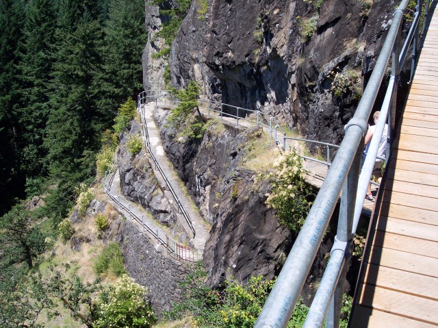
| Not only can you see Jim's smiling face in this picture, but there are at least 6 separate trail segments, connected by switchbacks, visible behind him in this photo. Add to that the one that he was standing on, and the one that I was standing on while taking the picture, and there are at least 8 of them directly associated with this photo. | |
| Tammy found a bench to sit on, and it was first come, first serve. Notice the tree growing straight up out of the rock over Tammy's head. |
|
|
| Tammy looking west, with the eastern Columbia River Gorge behind her. | |
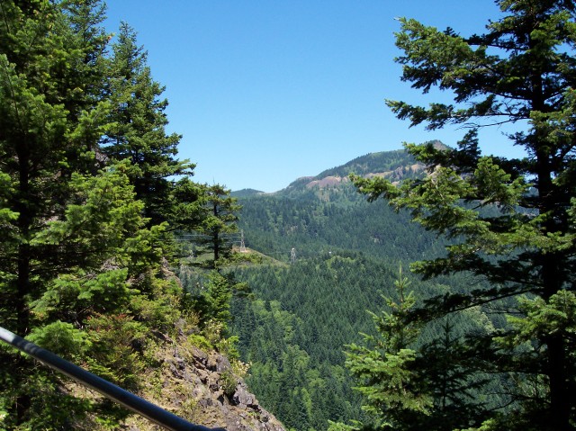
| We are up high enough to catch a glimpse of the view to the north now. The highest point visible, partially blocked by the tree on the right, is the peak of Mount Hamilton. Towards the center of the photo you can see the power lines that we were walking underneath earlier in the day on our way up to the falls. |
|
|
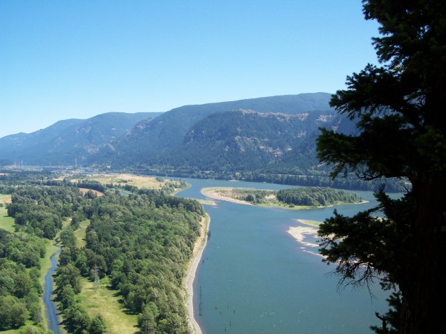
| Another view eastward towards Bonneville Dam. | |
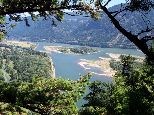
| Looking southeast down onto Ives Island, in the Columbia River. |
|
|
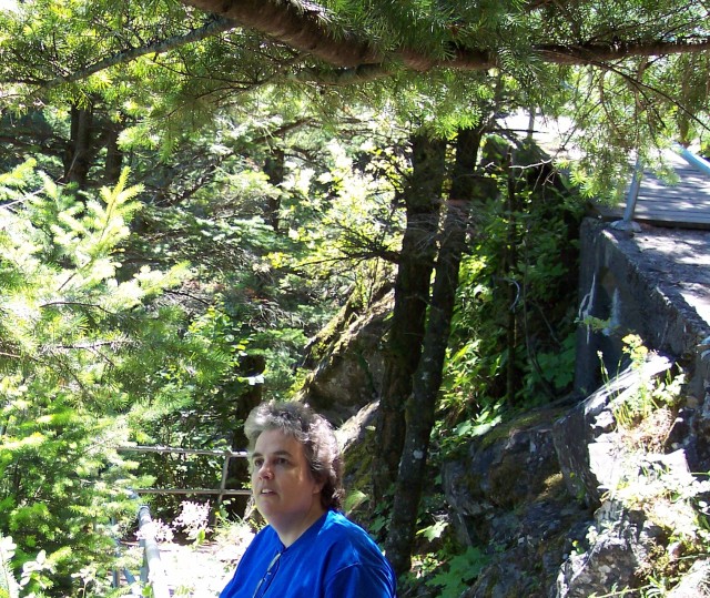
| Dotti is looking up at Hamilton Mountain in the distance, as the path up Beacon Rock continues on behind her, after going through yet another switchback close to where I am standing while taking this picture. | |
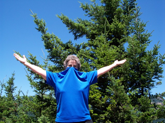
| Who is this masked lady? |
|
|
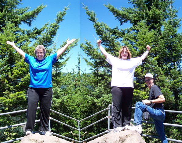
| Dotti and Tammy are doing their Rocky impression as they celebrate reaching the top. Jim looks as if he is getting ready to climb up and be counted. | |
| I join in the celebration with my lovely wife. |

|
|
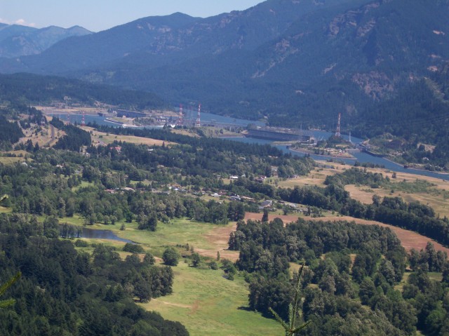
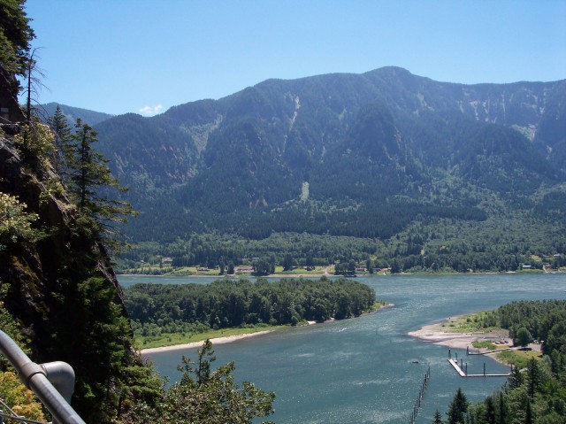
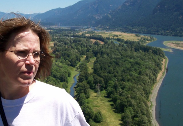
| We now have a clear view of the Bonneville Dam to the east. | |
| And of the Columbia River Gorge to the west. The island that you can see in the middle of the river out near the distant bottleneck is Skamania Island. For reference click here for a link to a picture taken from the top of Multnomah Falls of that same island. |
|
|
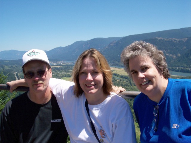
| Dotti, Jim, and Mount Hamilton, in that order. | |
| Jim, Tammy, and Dotti with the Gorge to the east as a lovely background. |
|
|
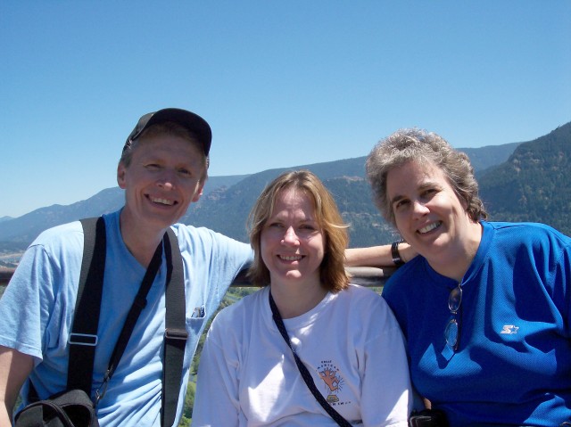
| Once again Jim and I swap places for the photo. | |
| We found a very nice lady at the top who was willing to take a picture of the group for us. We still had to walk down but the hard part was over. It was a great for hiking. The sun was out, but the temperature was cool. The visibility was great and we had lot of fun! |
|
|
|
|
||
| [ Home ] [ DWLZ ] [ Message Board ] [ Restaurants ] [ Order Cookbooks ] [ Dotti's Newsletter ] [ Support Dotti ] [ FAQs ] [ Email Dotti ] [ Email Al ] |