|
THE COON FAMILY HIKING CLUB
POWERED BY DWLZ.com |

|
| [ Home ] [ DWLZ ] [ Message Board ] [ Restaurants ] [ Order Cookbooks ] [ Dotti's Newsletter ] [ Support Dotti ] [ FAQs ] [ Email Dotti ] [ Email Al ] |
THINGS YOU
MIGHT ENJOY
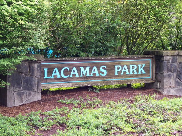
Lacamas PARK
June 5, 2004
The Coon Family Hiking Club
Official 2004 Hike #3
LENGTH OF HIKE 3.5 miles - 2 hours 20 minutes
|
Being less than 10 miles away, this hike is the closest to our home of any of the Coon Family Hiking Club hikes that we have taken so far. Located in Camas, Washington, Lacamas Park is a 325-acre preserve that is filled with things you aren't supposed to find inside the city limits: woods; waterfalls; a beautiful lake; a wide assortment of birds; and gorgeous wild flowers—not to mention some very well cared for hiking trails!
We started out parking right at the northwestern tip of Round Lake, near the point where it is connected to the much larger Lacamas Lake, which is not inside the park. We then walked along the western shore of Round lake to its southernmost edge before breaking away from the lake to visit some scenic spots along Lacamas Creek, including "The Potholes," where the flowing water has cut some interesting shapes into solid rock. Most of the rest of the hike was a fairly typical walk in the woods, until we returned to the southern tip of Round Lake, and continued on in a counterclockwise direction until we had completely encompassed the lake and returned to our car. It was overcast, and so the weather was very nice for walking, and I was able to wear my coat for a lot of the hike. When I became too warm, I just tied it around my neck. Dotti's thermostat and mine are never very closely matched, and as you can see from the pictures she was comfortable without a coat throughout the walk. |
||
|
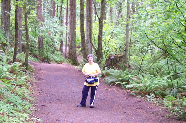
It was funny when I was going through the photos, because I took this picture just after we got out of the car, and then Dotti took a nearly identical one when we got back to the car at the end of the hike.
The names of the town Camas, and of the lake Lacamas ("La Camas" or The Camas from the French at Fort Vancouver), along with the adjoining park of the same name, both come from the "camas roots" that were used by the local Indian tribes for food. Camas was in fact originally called Lacamas as well, but it was later shortened to Camas. |
|
|
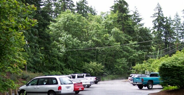
There were two different starting points that we could have used for this hike. Originally I had planned to start at the trailhead on Third Avenue. But we missed the turn off for it because it looked too much like a private driveway. Later, when reading over the directions in our hiking book, I had to chuckle when I read, "Turn left on the unsigned lane that looks like a private driveway." Maybe next time.  This parking lot is for the Lacamas Park recreational facility. It was already filling up by the time we had arrived.
|
|
|

| Here I am standing to the west of our van, with the sign that was shown in the first picture located right behind me, although not visible in this view. In the distance you can see Lacamas Lake. | |
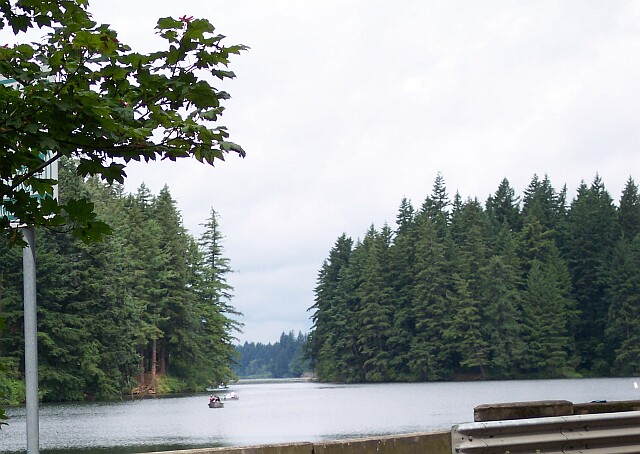
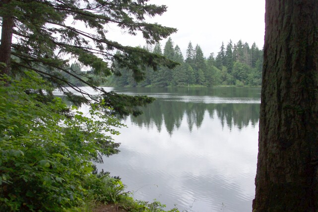
| Looking west from the parking lot we can see Lacamas Lake, which was created by two dams in Lacamas Creek. The lake is drained through Round Lake, and then back into the Lacamas Creek, which in turns flows into the Washougal River. The lake is fairly large, covering 315 acres, with an average depth of 24 feet, and at one point it is 65 feet deep. Its shoreline extends for 5.3 miles. As you can see from the picture it is used for boating and fishing. I found it interesting that the city of Camas -- orginally also called Lacamas, but the name was later shortened -- was founded by Henry Pittock (builder of the Pittock Mansion) in 1883, to help with his building and running a paper mill. This was important to Pittock, because he owned the Oregonian newspaper, and paper was critical to his business. |
|
|
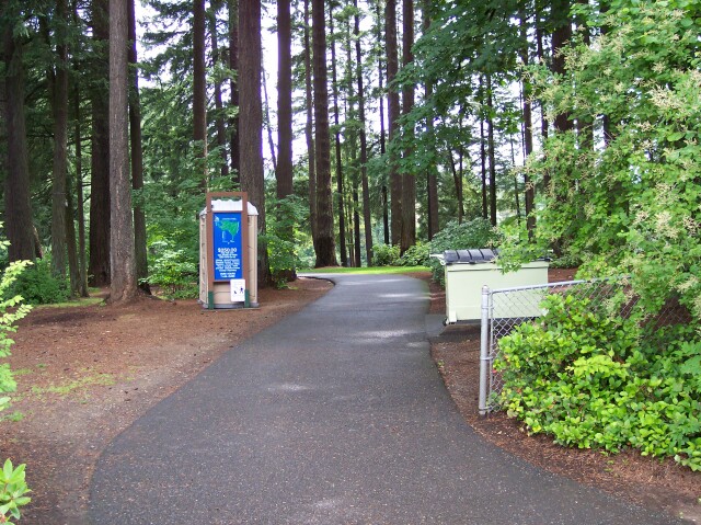
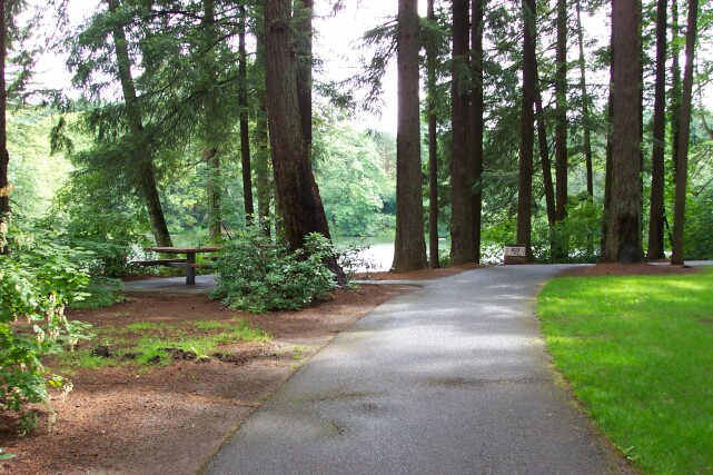
| The path leading from the parking lot to the park. On the left is a sign showing a map of the hiking trails in the park. | |
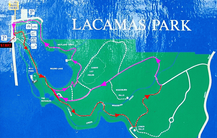
| Here is the map that was shown on the aforementioned sign. I took the liberty of modifying the map by labeling our starting point, and then marking the path that we hiked, with the first half of the walk shown in red, and the return path shown in light purple. The primary attaction that we witnessed during the the hike was "The Potholes." Other than that, we stayed on the main trails and walked through the woods. |
|
|
| We were impressed with the size of the trees in the park, as well as the well kept grass. There were picnic tables and, as you can see, Round Lake is located right beside the trail. If you look at the map in the preceding photo, you will see that the lake is not exactly "round", but more like a teardrop that has been bent about 90º at its narrow end. | |
| My lovely Dotti, with the park behind her. |

|
|
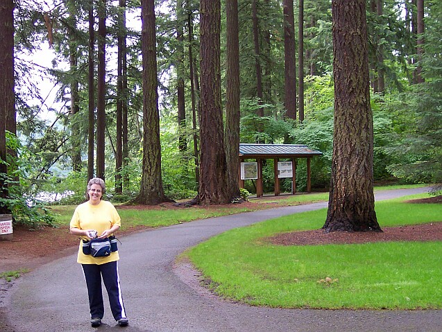
| Dotti is standing on the path, with Round Lake just peeking through the trees on the left. Curving towards the right in the photo is our hiking trail. | |
| Al, with Mill Pond in the background. This body of water was created by the dam we were about to cross, that blocks the Lacamas Creek. |

|
|
| Here is my lovely wife once more, with the Mill Pond behind her. For over 110 years the water from Mill Pond has been sent down the "Mill Ditch," a 7,000-foot aqueduct, to the Camas paper mill. Most of the aqueduct is in the form of a tunnel, which today passes beneath school athletic fields in the town of Camas. | |
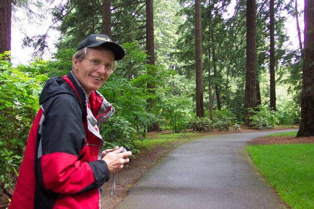
| Al, with camera in hand, and the trail stretching off into the background. |
|
|
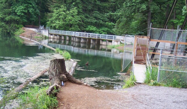
| Here is the dam across the Lacamas Creek. To the right, behind the chain link fence, is the inlet to Mill Pond. | |
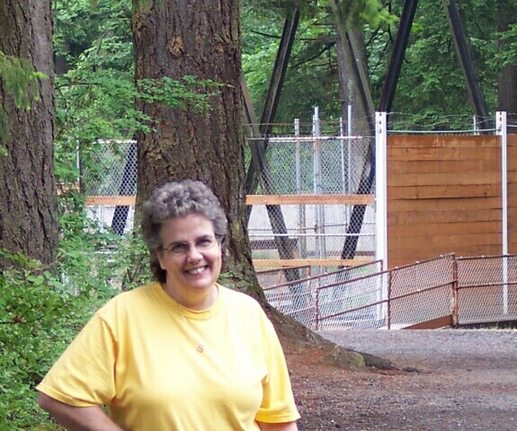
| Dotti wearing her lovely smile! Behind her (looking south) is the path across Mill Pond inlet. |
|
|
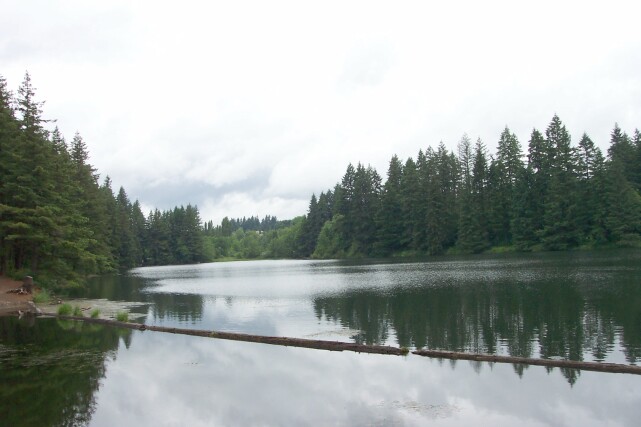
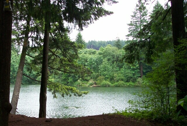
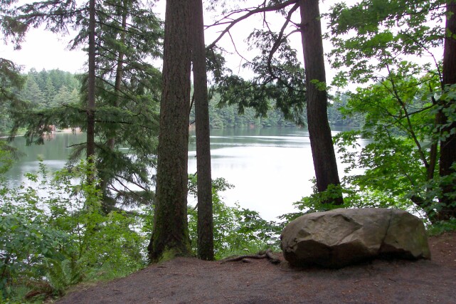
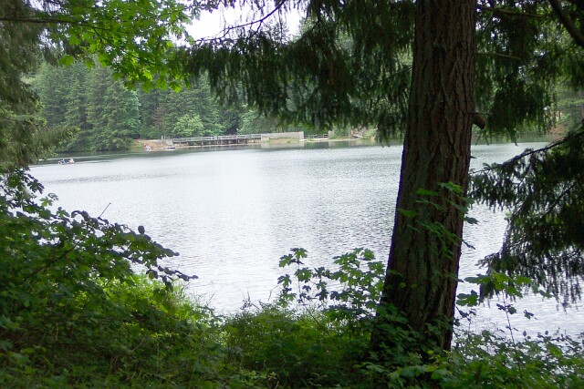
| Looking north across Round Lake, which has a surface area of 216 acres, and a maximum depth of only 18 feet. | |
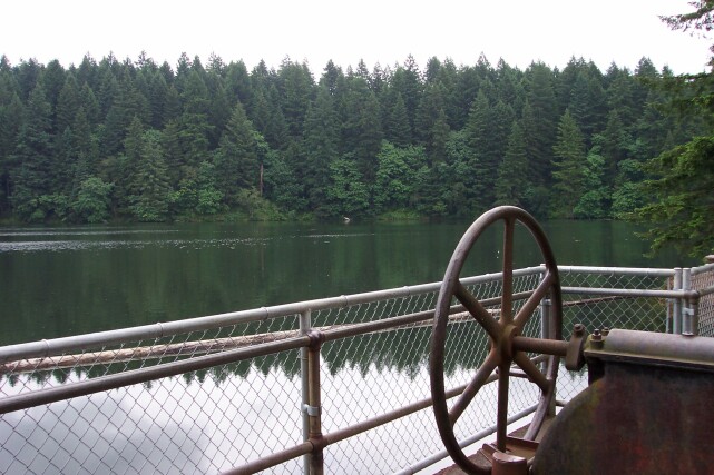
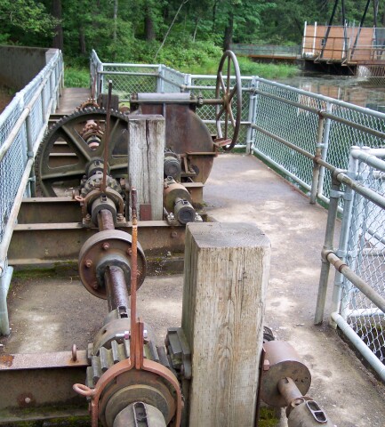
| This picture was taken on top of the dam itself. The wheel is part of the dam control machinery, and Round Lake sits in tranquility beyond. |
|
|
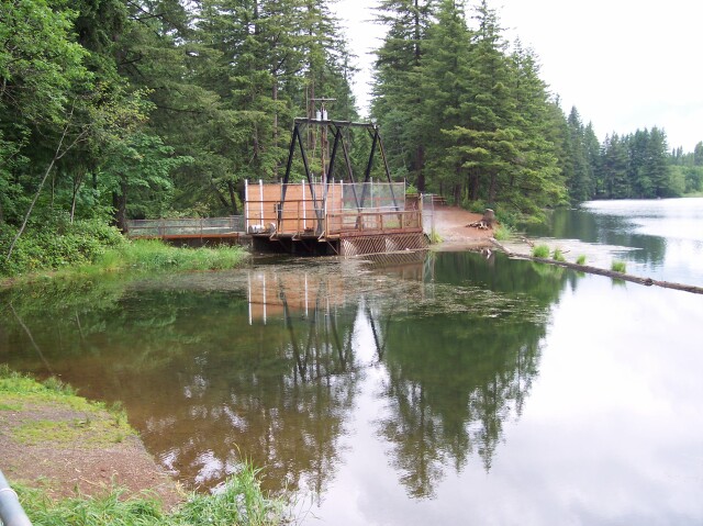
| Looking to the northwest we can see the recently crossed platform that is built over the inlet to Mill Pond. Inside the structure there is a large self-cleaning "fish screen," that reminded me of a squirrel cage, because it was shaped like a cylinder, and it constantly rotated. The cylinder was made out of a steel screen mesh that keeps fish and other unwanted items from drifting into Mill Pond from Round Lake. | |
| From the south side of the dam top, looking back the way we had just come. |
|
|
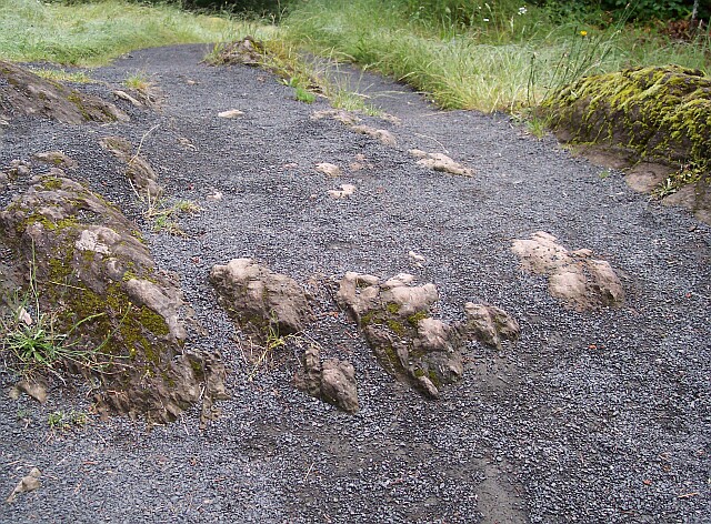
| Looking down from the top of the dam. | |
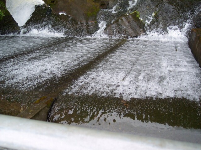
| The downstream view from the dam. Notice the interesting gouges that have been cut into the stone by flowing water in the past. It is a smaller version of what "The Potholes" look like, as we were soon to see. |
|
|
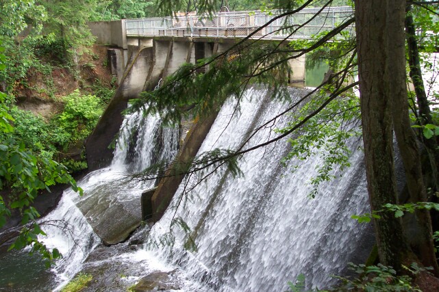
| Beyond the dam and looking back at it. The water looks beautiful and white as it falls down the face of the dam. | |
| It is hard to believe this is a "city park" with all of this beauty surrounding us. The lake, the forest and the clear air all mistakenly cry out that we are far out of town. |
|
|
| Looking north across Round Lake one last time before breaking away to follow the trail to the south. | |
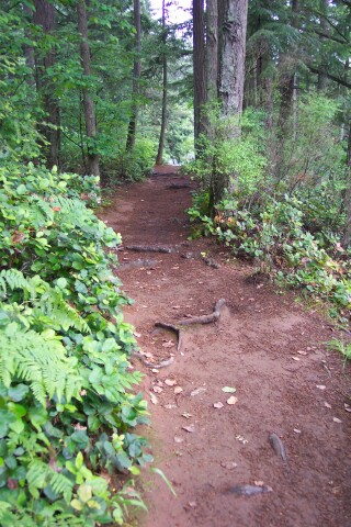
| Our trail led to the south, across exposed tree roots, while the lake shore, which we left behind for the time being, turned to the north. |
|
|

| Dotti caught a picture of me, as I was looking to take a picture of her. | |
| Off to the right of the main trail lies this run beside a wooden fence that leads to a view of "The Potholes." |
|
|

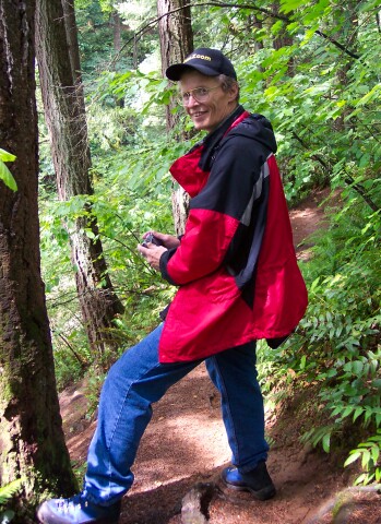
| Here is Dotti relaxing beside the fence. | |
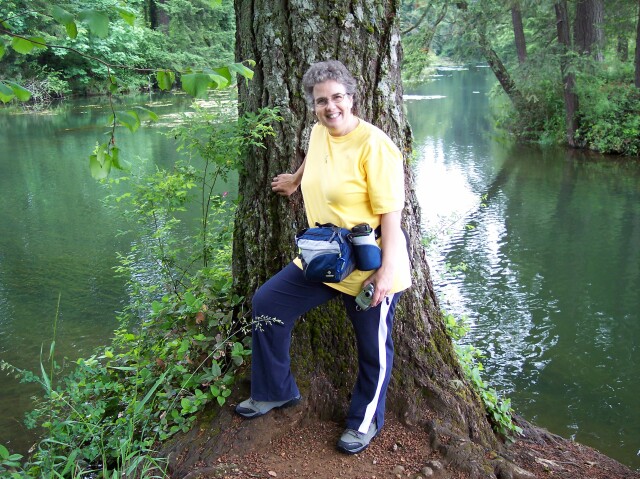
| Here is my lovely Dotti once more. |

|
|
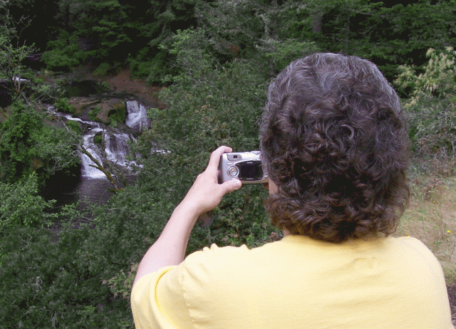
| Dotti caught me getting ready to take a picture of "The Potholes." Unfortunately, the view of "The Potholes" from this location was not very good. The lush forest growth blocked the view very effectively. | |
| To compensate for this problem, we continued on down the trail until we passed around a corner and a clear view of "The Potholes" was finally available. I was on a side trail here getting ready to snap a picture. |
|
|

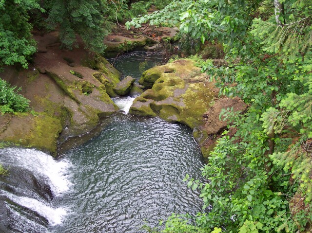
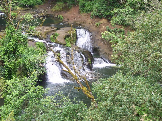
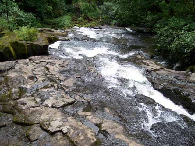
| Dotti took this one of me with "The Potholes" behind me. | |
| "The Potholes" is a short 20-foot waterfall below two rounded out depressions in the rock. Floodwaters sometime in the past twirled stones in place, carving out the depressions. |
|
|
| I couldn't resist putting these two pictures together and creating an animation, with Dotti turning around and smiling after taking a picture of her own. | |
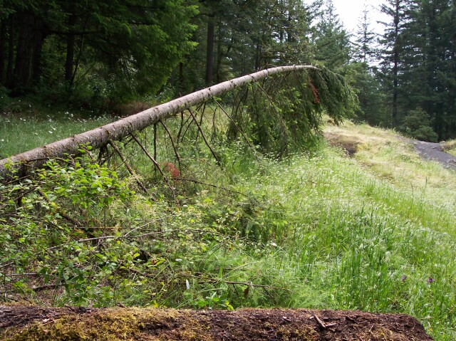
| Beside the main path, this fallen tree caught our eye. The mighty giants must one day fall, but it is sad to see them rotting on their sides. |
|
|
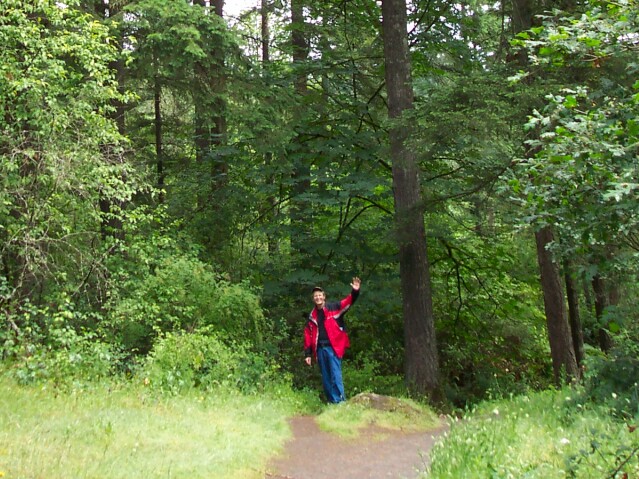
| Back on the trail, and still heading south. | |
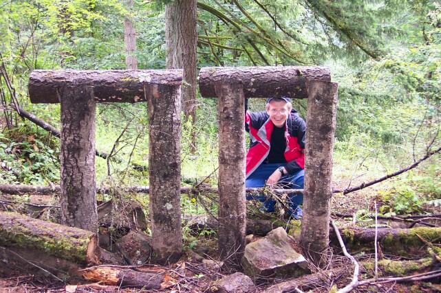
|
I was framed! It appears that these are two structures were built for equestrians to tie their horses up to them. Either that or it was a stunt by the PI PI (π π
) Fraternity. (Or a math major was given the task of approximately expressing 9.87 using only 6 pieces of log: i.e. π
2.)
|
|
|
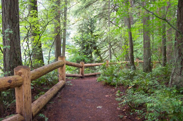
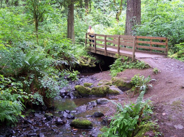
| All city parks should look like this! | |
| My lovely Dotti crossing a wooden footbridge spanning a small creek. Notice the wooden cross members laid on the path behind her? Those will keep rain water from cutting a channel down the middle of the path on that hill. The water is instead directed off to the side of the path. |
|
|
| The scenery was definitely worth the effort to get here! | |
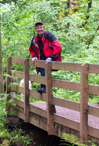
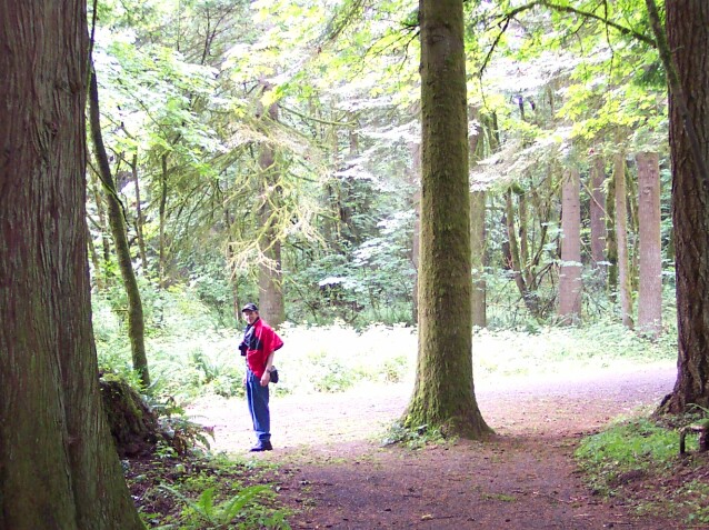
| Al on the bridge across Woodburn Creek. Notice that my coat was still on at this point. We are not quite halfway through the hike but we are getting very close to that point. |
|
|
| My Dotti is on the bridge now, as we had exchanged places. Woodburn Creek is small, compared with Lacamas Creek, but it is surrounded with beautiful greenery. | |
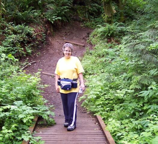
| Dotti on the trail. |
|
|
| We are nearly finished with our southern excertion, and we are approaching the point where the path, that I had originally intended to use, will join up with this one. | |
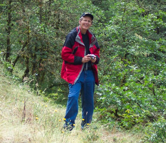
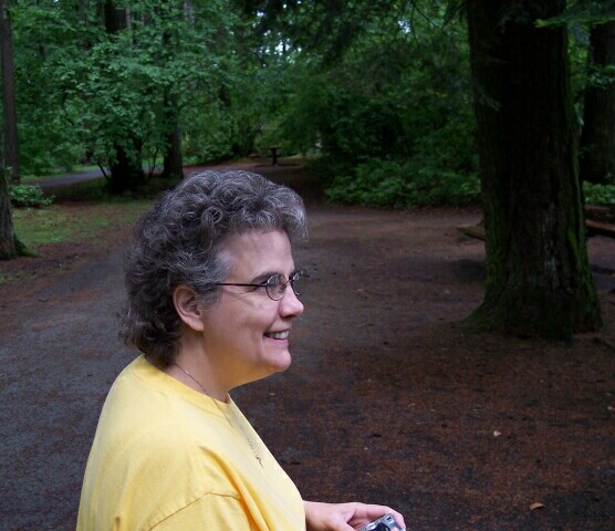
| Dotti has her camera in hand, and showing a big smile. The trees are not terribly thick here, but the sky was overcast, and that was still keeping the temperature down. |
|
|
| Just so you don't fall asleep on the trail, they have a few obstacles to get past along the way. | |
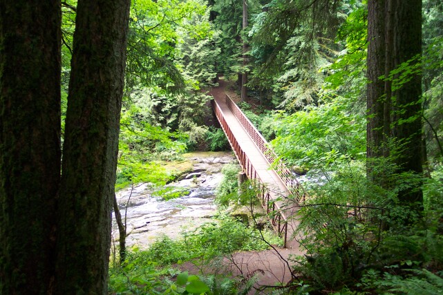
| This bridge leads to the parking lot, further to the south, that we didn't end up using, although I originally had planned to. |
|
|
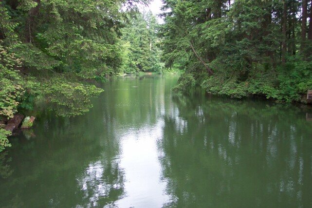
| Even though we were not going to take the path that crossed the bridge, we did go out onto the bridge to view Lacamas Creek. This view is up stream from the bridge. | |
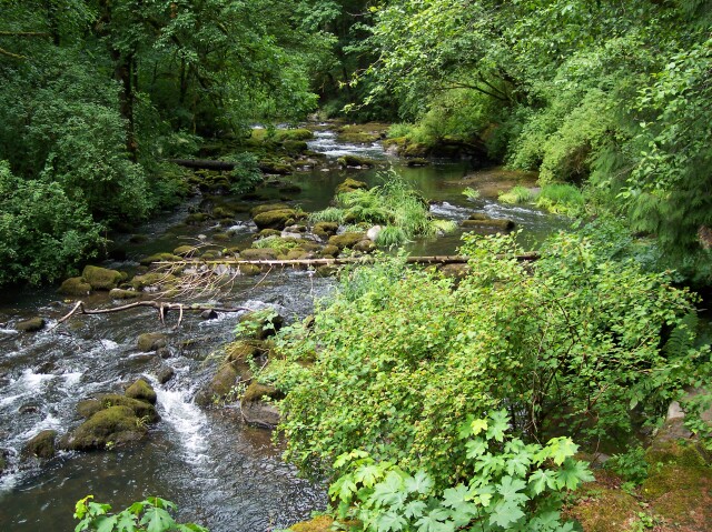
| This view is looking downstream. |
|
|
| From the bridge, we turned east and then north. Dotti took this picture of me as I was just getting to the point where we were going to head westward, back to Round Lake. We were over halfway through the hike now, and I had finally warmed up enough to where I had to take off my coat and tie it around my neck. | |
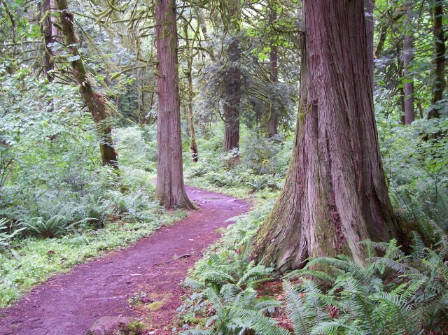
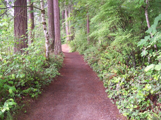
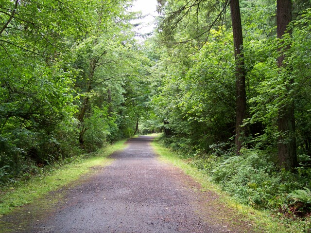
| On our westward course the path was actually a service road, but it was still flanked by beautiful green trees and underbrush. |
|
|
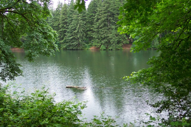
| This is Round Lake once more. We returned to the point that we left previously and now we are heading around the lake, moving in a counter clockwise direction. Here we are still near the southernmost part of Round Lake. | |
| Moving up the eastern shore of the lake, we are right across from the dam and Mill Pond inlet that we visited earlier. |
|
|
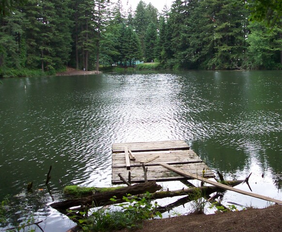
| An old and dilapidated pier or boat dock. We are looking northwest, and right up the throat of the "bent teardrop" portion of the lake. If there were no trees in the way, you could just about see our van at the leftmost portion of this picture. | |
| As we move up to the north, towards the shore's bend to the west, Round Lake grows narrow. The gray sky and the beautiful green trees are reflected in the water. |
|
|
| The final view of Round Lake shows how the tip of the teardrop squeezes down into a very narrow channel. | |
| Dotti, the official CFHC biologist usually attempts to capture some of the flora and even fauna that we see along our hike. Here you can see a collection of those shots that she took pictures of on this hike. Enjoy! |

|
|
|
|
||
| [ Home ] [ DWLZ ] [ Message Board ] [ Restaurants ] [ Order Cookbooks ] [ Dotti's Newsletter ] [ Support Dotti ] [ FAQs ] [ Email Dotti ] [ Email Al ] |