|
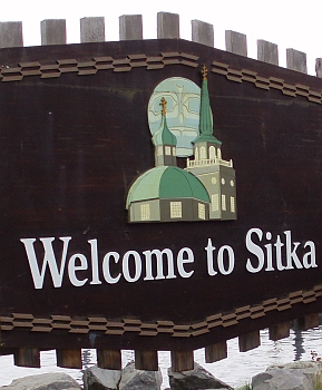
Port Call: Sitka!
The weather for our day in Sitka was very pleasant. With a light breeze, the temperature stayed within the average normal for both the high and low. For the time we were in the Sitka area, air temperature rose to 55°F and only fell to 48°F. The mean temperature was 51° and we were within 4° of that all day long; and we were all very happy with that! It is easy to tell that I was comfortable all day, just from looking at the pictures; I was wearing my coat, but it wasn't zipped up.
When I first got up I did some work on the  pictures we had already taken, and made sure that our cameras' memory sticks were cleared off and empty for the day, and that the batteries were fully charged. (I have never forgotten the Second DWLZ Conference when I had found to my horror that my battery had not charged when I plugged it in pictures we had already taken, and made sure that our cameras' memory sticks were cleared off and empty for the day, and that the batteries were fully charged. (I have never forgotten the Second DWLZ Conference when I had found to my horror that my battery had not charged when I plugged it in 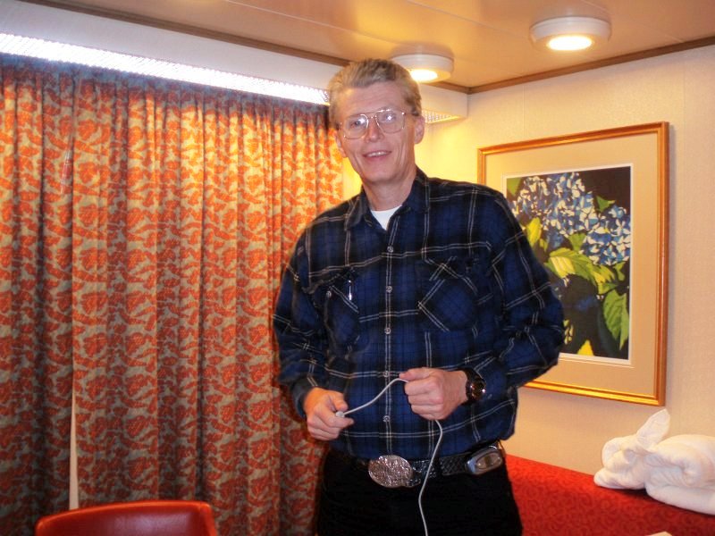 because it turned out to be a "switched" outlet it was plugged into, and the switch got turned off. I had to do all my photos for the Saturday Night Runway Show sitting next to a power outlet, with my camera plugged in, just so I could take pictures. Oops! I certainly wouldn't be able to do that in Sitka, so I double checked the batteries in both Dotti's and my cameras and the spare battery in my pocket.) because it turned out to be a "switched" outlet it was plugged into, and the switch got turned off. I had to do all my photos for the Saturday Night Runway Show sitting next to a power outlet, with my camera plugged in, just so I could take pictures. Oops! I certainly wouldn't be able to do that in Sitka, so I double checked the batteries in both Dotti's and my cameras and the spare battery in my pocket.)
Dotti and I had breakfast in the room about the 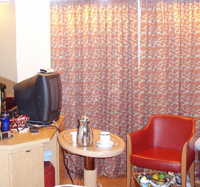 time we pulled into Sitka. I had put the tray in the bathtub to clear some space for the coffee carafe and our cups. The hot coffee was very welcome when I went back and forth between our outside veranda to take pictures and back into the room. My little Olympus camera was on the dresser, and that is the camera I took ashore with me each day. It takes fairly good pictures, and it is small enough to fit easily in my shirt pocket. time we pulled into Sitka. I had put the tray in the bathtub to clear some space for the coffee carafe and our cups. The hot coffee was very welcome when I went back and forth between our outside veranda to take pictures and back into the room. My little Olympus camera was on the dresser, and that is the camera I took ashore with me each day. It takes fairly good pictures, and it is small enough to fit easily in my shirt pocket. Sadly, we lost the penguin the first night ("He's dead Jim!"), but we created a safe haven, and animal refuge on the back of our sofa! Here our 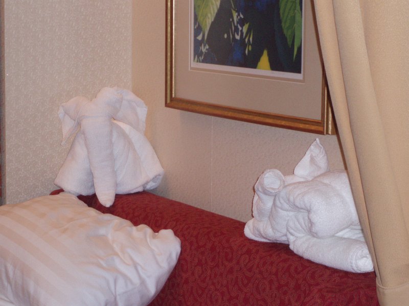 our elephant and the rabbit could live (perhaps exist is a better term, for how much living can you do as a towel?) in peace and safety. All four of us were all really impressed with the little towel animals we found in our rooms each night, and they gave us considerable enjoyment. our elephant and the rabbit could live (perhaps exist is a better term, for how much living can you do as a towel?) in peace and safety. All four of us were all really impressed with the little towel animals we found in our rooms each night, and they gave us considerable enjoyment.
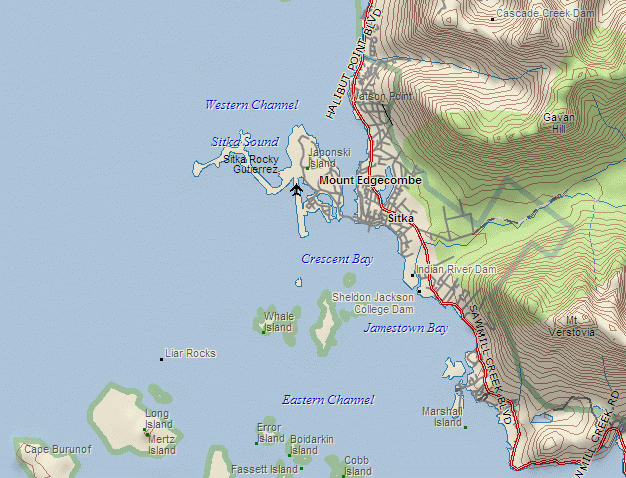
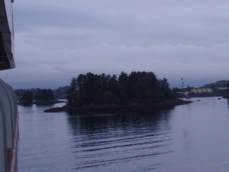
The camera is looking to the southeast into the narrow entrance of Camp Coogan Bay, 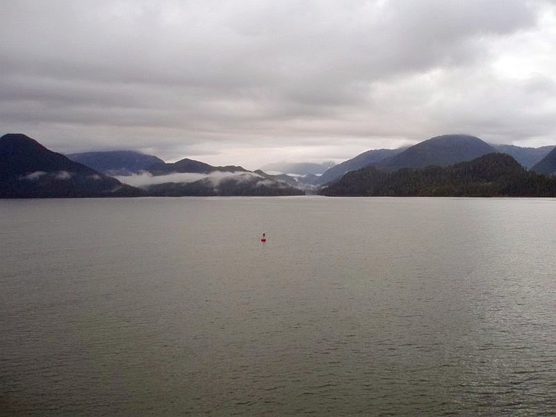 surrounded by the Tongass National Forest. On the far left is the 1725-foot Sugarloaf Mountain, which is hundreds of feet taller than the more famous 1296-foot mountain of the same name sweating in Brazil. Not only that; it is a lot prettier, being all covered in green. surrounded by the Tongass National Forest. On the far left is the 1725-foot Sugarloaf Mountain, which is hundreds of feet taller than the more famous 1296-foot mountain of the same name sweating in Brazil. Not only that; it is a lot prettier, being all covered in green.
The sky is gray, and would remain that way for most of the day; but this day we were to have less rain in Sitka than we had during our time in Juneau, and we had hardly noticed it during our visit to the state Capital. In the foreground is the site of the Sitka Historical 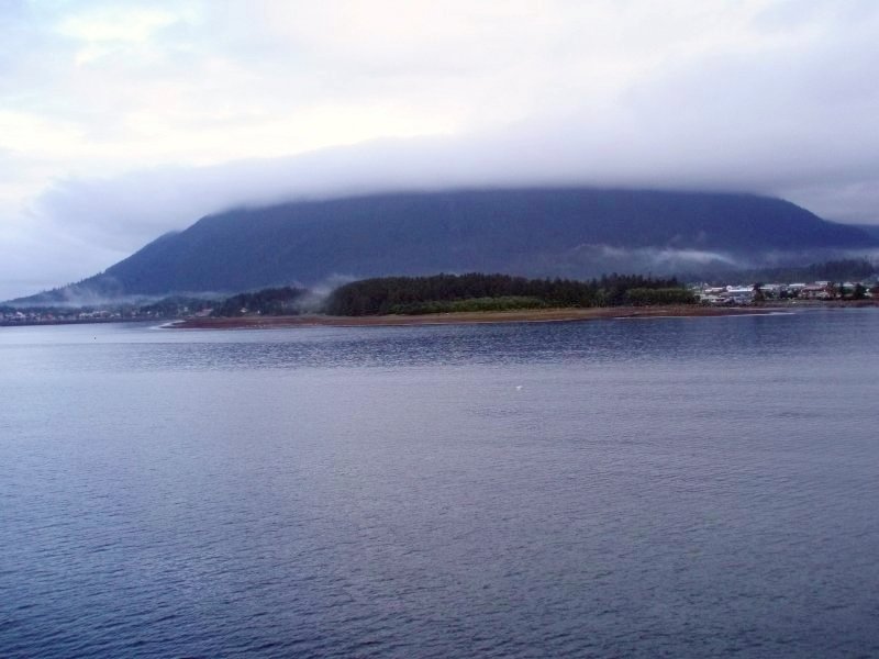 National Park. This is the location of the final battle between the white man and the Tlingit Indians in 1804. (See sidebar.) The white men were Russians and they are the ones who founded Sitka, Alaska, but as you know from reading the information packed sidebar, ☺ they didn't call it that. National Park. This is the location of the final battle between the white man and the Tlingit Indians in 1804. (See sidebar.) The white men were Russians and they are the ones who founded Sitka, Alaska, but as you know from reading the information packed sidebar, ☺ they didn't call it that.
Climbing high behind the park, and the buildings beyond it, is the start of a ridge that runs up to what is locally known as Mount Verstovia. The name comes from the Russian word Verst meaning 3500 feet in distance. So, a mountain standing about 3,500 feet could earn the name. Mount Verstovia Trail, a challenging hiking trail, leads up this ridge. It sure would be nice to spend some time here hiking! This land extends out into the 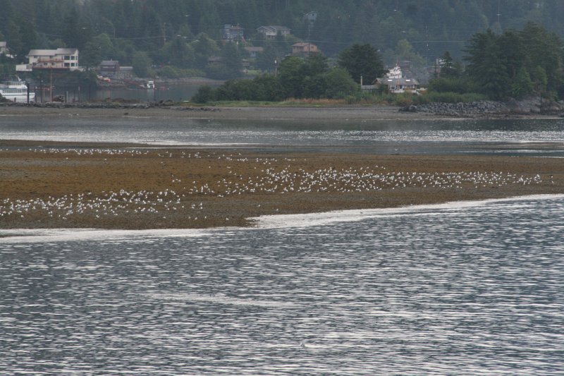 water from the Sitka Historical National Park. The seagulls have taken quite a liking to this area. water from the Sitka Historical National Park. The seagulls have taken quite a liking to this area.
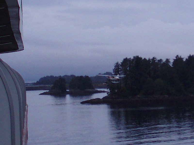
The Park remains on the right in this picture 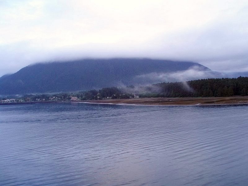 but on the left we are moving towards downtown Sitka. Crescent Harbor with its tender dock, and associated sailing boats, protected by a stone seawall is just becoming visible in this shot. but on the left we are moving towards downtown Sitka. Crescent Harbor with its tender dock, and associated sailing boats, protected by a stone seawall is just becoming visible in this shot.
Here we see a wider view, which includes the area 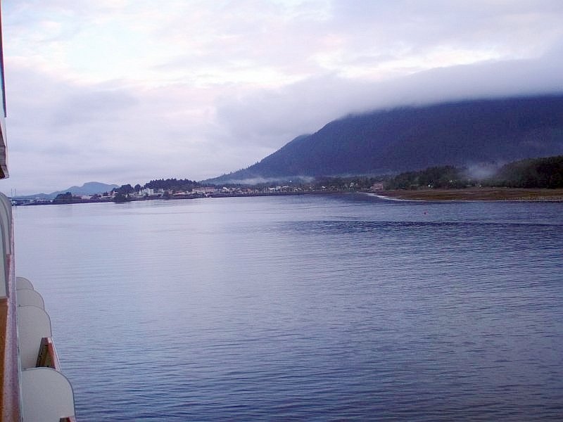 that we would be visiting for our port call. The park is on the right, while a more complete—though admittedly small—view of the marina in Crescent Harbor lies in the center, and downtown Sitka is on the left. that we would be visiting for our port call. The park is on the right, while a more complete—though admittedly small—view of the marina in Crescent Harbor lies in the center, and downtown Sitka is on the left.
The hill just left of center is Castle Hill, the last landmark that we would visit for the day. It stands 60 feet tall, and at one time was a very busy place, with government goings on being a daily routine. It then stood right up against the water, dangling its toes in the waves. But land fill has pushed it back, and it must content itself with its memories of the good old days. On the extreme left, politics aside, we see the east end of the O'Connell Bridge. Trust me, we will be seeing more of that bridge during our visit with Sitka. Once again we are looking at Crescent Harbor, and the 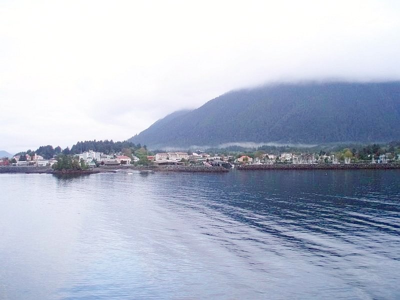 design of the seawall is interesting. It forms an enclosed area that would block heavy waves coming in from the Pacific. The opening into the area looks like a portion of a maze, where boats would enter, traveling more or less west, until they clear the inner wall and then they could turn into the docking area and move to their station. A truly safe harbor in time of storm; and I'll bet they get some doozies here in Sitka! design of the seawall is interesting. It forms an enclosed area that would block heavy waves coming in from the Pacific. The opening into the area looks like a portion of a maze, where boats would enter, traveling more or less west, until they clear the inner wall and then they could turn into the docking area and move to their station. A truly safe harbor in time of storm; and I'll bet they get some doozies here in Sitka!
Looking up at the bridge, where not too much is going 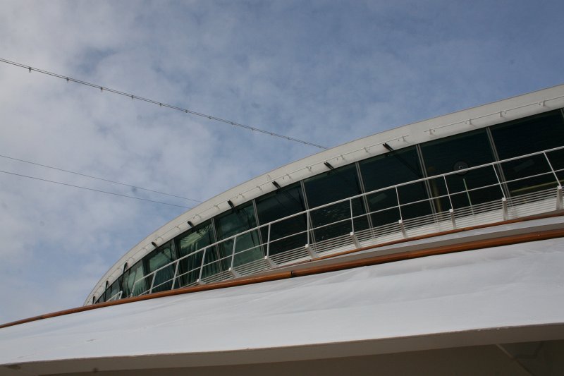 on, now that we have dropped anchor. The sky is just peeking through the clouds, but that won't last. Clouds are going to be our constant companions on this day. But, since they didnt drop rain, we didn't mind a bit. on, now that we have dropped anchor. The sky is just peeking through the clouds, but that won't last. Clouds are going to be our constant companions on this day. But, since they didnt drop rain, we didn't mind a bit.
Perhaps I should say, any more rain. Looking 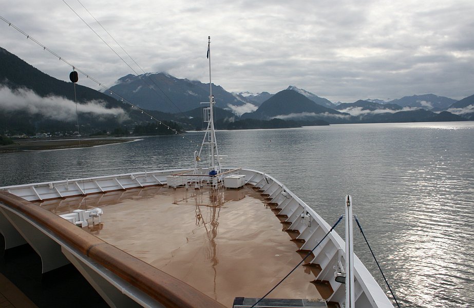 at the forward part of the Promenade deck below, clearly some rain earlier has left a shiny coating. But we are willing to let bygones be bygones and enjoy the dry day ahead. at the forward part of the Promenade deck below, clearly some rain earlier has left a shiny coating. But we are willing to let bygones be bygones and enjoy the dry day ahead.
The ship's bow is pointed right at Sugarloaf Mountain. Clouds are layered, with the high ones forming a ceiling, and the lower ones draping themselves over the shoulders of the peaks of the Tongass Forest, like mink stoles. The sun is breaking through the clouds enough to cast a beautiful reflection across the water, and if there is one thing that I miss most about being at sea from my Navy days, it is seeing the sun and moon doing just that. There was an eerie sort of otherworldliness 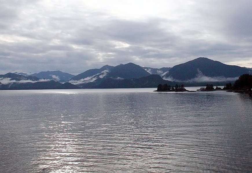 about this view. It seems like condensed Pacific Northwest: a distilled and more pure version of what I so much love about the area where we live. The mountains, the clouds, the water, and especially the trees all say, "Welcome home!" about this view. It seems like condensed Pacific Northwest: a distilled and more pure version of what I so much love about the area where we live. The mountains, the clouds, the water, and especially the trees all say, "Welcome home!"
And speaking of home, as we turn more towards the west, there are some homes on the islands off our starboard bow. The islands are not all individually named but they are part of the Tongass National Forest. The Gilmore Islands and Whale Island are here, and it must be a wonderful place to live for the lucky ones who do. One house is just visible on the water between the clump of trees just right of center, and the second clump, leading into the larger island. Pulling back a bit, and turning more towards 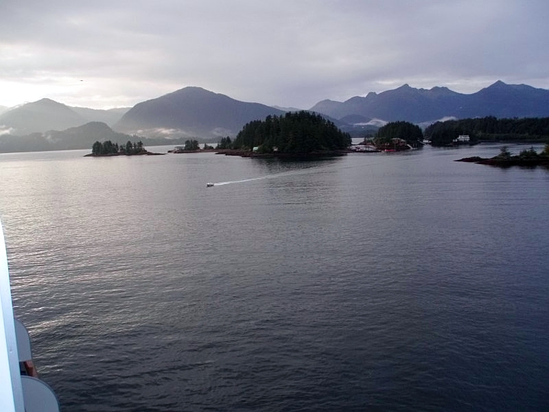 the west, we can see more of the islands. Other dwellings begin to come into view, and a power boat streaks across the water heading towards Sitka. Does the driver live in one of those houses, and is he heading in for work, shopping, or fun? the west, we can see more of the islands. Other dwellings begin to come into view, and a power boat streaks across the water heading towards Sitka. Does the driver live in one of those houses, and is he heading in for work, shopping, or fun?
In the sky, to the left the suggestion of a brighter day is teasingly held out by the thinner clouds on the horizon, and a gull is gliding above the bay. Here in Sitka, it was hard to ever take a picture that included the sky in it, without a catching a picture of at least one bird in flight. Putting the zoom on the house we could just 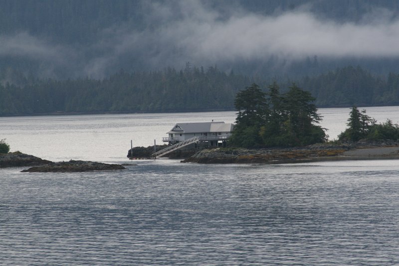 barely see earlier, shows that they have nice deck around the home, and a ramp that leads down to the "driveway." Since there are no bridges to the islands, and no roads to use even if you had a car here, boats are the "cars" for these folks. barely see earlier, shows that they have nice deck around the home, and a ramp that leads down to the "driveway." Since there are no bridges to the islands, and no roads to use even if you had a car here, boats are the "cars" for these folks.
It is hard to miss the idyllic setting for this home, but also note they have built on stilts. This gives a bit of vertical "slack" in case of high tides and storms ganging up on this location. Water can pass under the house, without taking it away and making splinters out of it. At the time this picture was taken, the tide was on the rise, and it was up 2 feet from low tide, which had occurred just over two hours earlier. High tide would be up 7 additional feet up from where it is now. My guess is that high tide would just about coincide with the top of the dark coating you can see on the rocks below the house. On a quiet day like today, high tide would do little more than raise the loading dock at their "driveway" up 9 feet from its lowest point and make the ocean appear a bit closer to those sitting on the deck. But on a day when the wind is lashing the sea into high waves, the distance from normal high tide and the top of the rocks becomes too small for comfort and even safety. By adding the stilts, a path is created for the water to pass by harmlessly, keeping the homes high, and dry, at least on the inside. Flashback... Continuing to turn towards the west, and towards 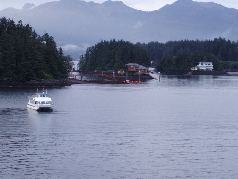 our starboard side, more of the islands are visible and two more homes are showing off their owners' amazingly good fortune in where they get to live. our starboard side, more of the islands are visible and two more homes are showing off their owners' amazingly good fortune in where they get to live.
They are sheltered from the wind pouring in from the Pacific by the trees, avoiding the direct gale when it passes by. Waves will crash on Whale Island to seaward and be broken up before reaching these landing docks. But the lucky people can still see it all through their windows, or better yet, from their decks! Ramps run down to the water, so they can "run to the store" and even some infrastructure is visible, with the pedestrian walkway that leads into the forest on the left. Imagine living on an island, surrounded by mountains, and forests, and only a short boat ride from beautiful downtown Sitka, Alaska. Maybe the closest Wall Mart is in Anchorage, but who needs it when you live in paradise? The closer we get, the better these homes 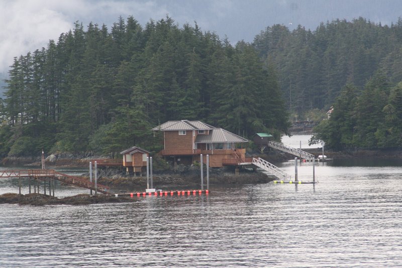 look. You can step out your door and take a hike in the woods, or a ride in the Pacific. Or you can throw a line from your deck and do some fishing. At night you can crank up the wood stove, or fireplace, and share the ocean sounds with the one you love. A good book would be much better sitting here with the cry of gulls ever in your ears. Just shut off the generator and fire up the hurricane lamps, it is going to be a great evening! look. You can step out your door and take a hike in the woods, or a ride in the Pacific. Or you can throw a line from your deck and do some fishing. At night you can crank up the wood stove, or fireplace, and share the ocean sounds with the one you love. A good book would be much better sitting here with the cry of gulls ever in your ears. Just shut off the generator and fire up the hurricane lamps, it is going to be a great evening!
I found myself returning to this spot many 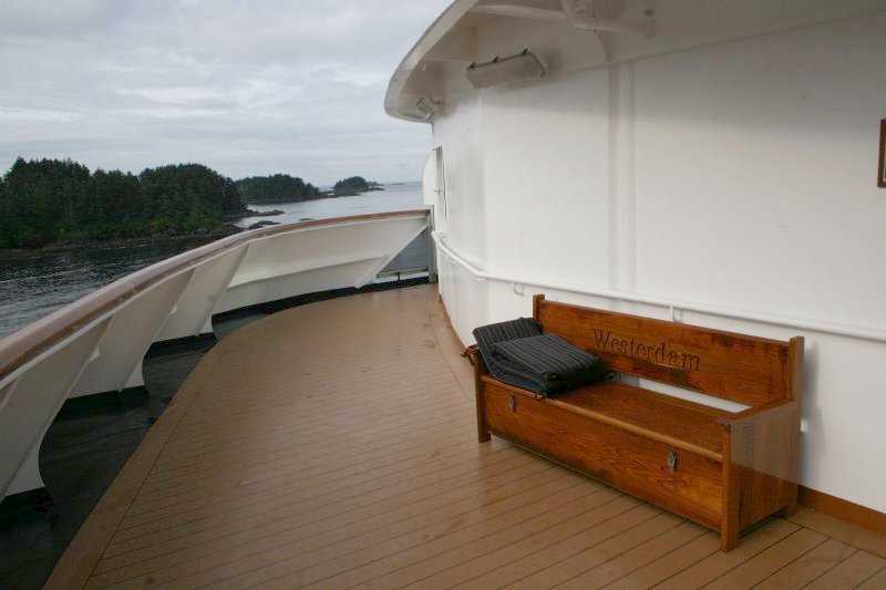 times during the cruise. This is the forward most part of the Verandah Deck, and our staterooms were not far from here, just a few doors down the passageway on the starboard side. This location was not only easily accessible to us, it provided a great view. times during the cruise. This is the forward most part of the Verandah Deck, and our staterooms were not far from here, just a few doors down the passageway on the starboard side. This location was not only easily accessible to us, it provided a great view.
We have continued moving clockwise, and the camera is pointed due west, and off the starboard side of our ship the islands are coming to an end. That is the Pacific Ocean you see out on the horizon. It is funny how we all live different lives, 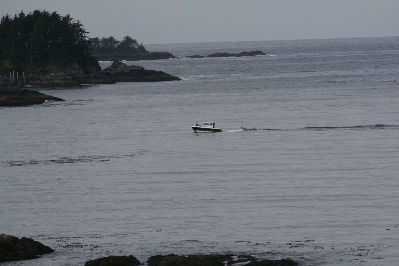 often without thinking about it. This man is probably doing a normal and routine thing, as he cruises along in his little boat pulling a much smaller motorboat. For me that would very much out of the ordinary and quite exciting. Sure, I've been in many boats of different sizes, and spent unbroken months living on a ship, but my life doesn't include a morning "drive to work" in a boat. This man's may. It is hard to visualize replacing cars with boats for so much. often without thinking about it. This man is probably doing a normal and routine thing, as he cruises along in his little boat pulling a much smaller motorboat. For me that would very much out of the ordinary and quite exciting. Sure, I've been in many boats of different sizes, and spent unbroken months living on a ship, but my life doesn't include a morning "drive to work" in a boat. This man's may. It is hard to visualize replacing cars with boats for so much.
I wonder what he was thinking as he passed by. Was he concerned with his bills, or was he planning out how to work around some other problems, or was he just looking at the water and thinking how wonderful life can be?  Of all the towns and cities in the Alaskan Panhandle, only Sitka is located on the Pacific Ocean. From where our ship was parked, we could look out to sea, with nothing between us and the Alaskan Peninsula but the waters of the Pacific Ocean. Beyond the Alaskan Peninsula, which sticks out into the Pacific like a scimitar, the next land is Russia, from whence came the men who founded Sitka.
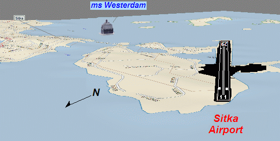
On the right is the south end of the Sitka (SIT) Airport runway sticking out into the water. (See Sidebar for more on the Sitka Airport.) Here's another guy in his boat moving across 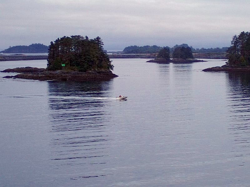 the water. In the background the runway continues on its path towards the terminal. What appears to be another island off in the distance is really still part of Japonski Island, where the airport is located. the water. In the background the runway continues on its path towards the terminal. What appears to be another island off in the distance is really still part of Japonski Island, where the airport is located.
The glaciers of the past have really cut the land into odd shapes, and then man has been active as well, helping to shape the land. The Sitka Airport runway continues on along  in the background, disappearing into the trees and the distance. Japonski Island dominates this picture as it stretches across the entire field of view. in the background, disappearing into the trees and the distance. Japonski Island dominates this picture as it stretches across the entire field of view.
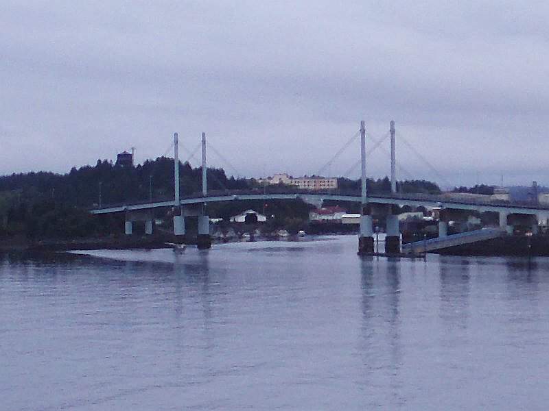
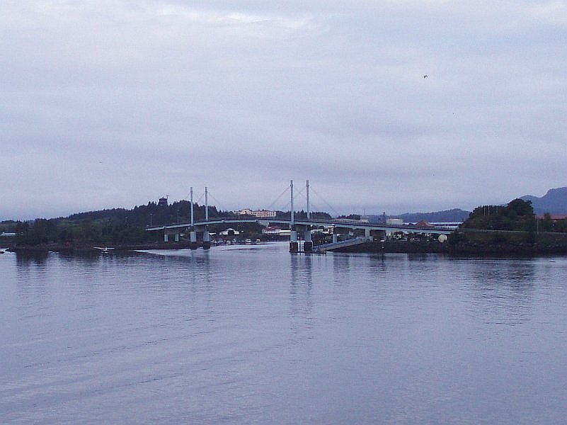
The O'Connell Bridge is the only road to the island for cars and pedestrians. There once was a ferry system in place but the bridge was completed and dedicated in 1972, making the ferries unnecessary. The O'Connell Bridge (see sidebar) is in the photo's center. 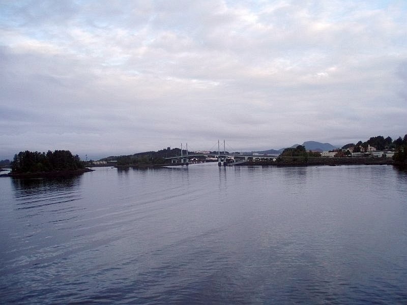 Japonski Island and the Sitka Airport are on the left, and downtown Sitka is on the right. Japonski Island and the Sitka Airport are on the left, and downtown Sitka is on the right.
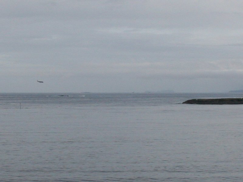
As I was taking these pictures, all at once I heard the sound of a small plane's engines winding up. I couldn't see the plane yet but I could tell it was getting ready to take off, but from where?
I wasn't expecting to a see a plane taking off out from under O'Connell Bridge, but there it was. I had heard that water planes were common in Alaska, sometimes being the only transportation into certain out of the way areas. The final picture above was of a jet landing on the Sitka Airport runway on the right. Between the planes and the birds, the sky was a pretty busy place! Castle Hill is in the center of this shot of the 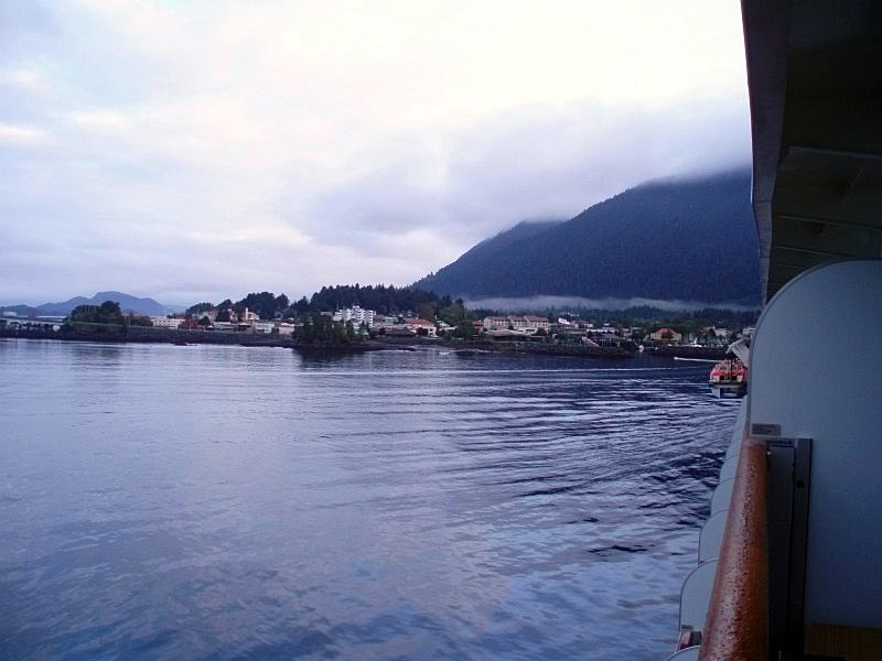 Downtown Sitka area. On the ship you can see the launches, or what Jim and I would call "Liberty Boats" from our Navy days. Those are the boats that would be taking us ashore and bringing us back once our visit was over. It was about time to put them into the water. Downtown Sitka area. On the ship you can see the launches, or what Jim and I would call "Liberty Boats" from our Navy days. Those are the boats that would be taking us ashore and bringing us back once our visit was over. It was about time to put them into the water.
One boat is in the water now and away, and a 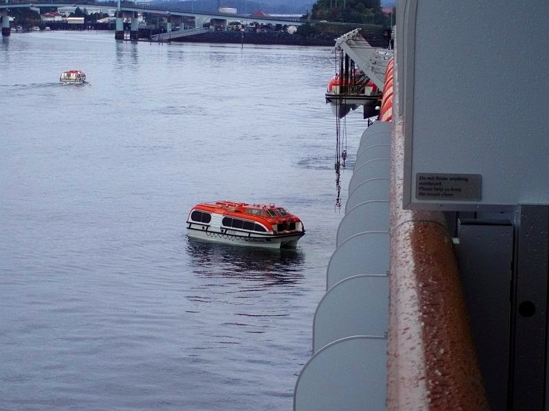 second one is wet as well, getting set to get to work. You can see the hoist and cables, now dangling empty, that had been used to lower one of the boats into the water. second one is wet as well, getting set to get to work. You can see the hoist and cables, now dangling empty, that had been used to lower one of the boats into the water.
Off in the distance, at the base of the bridge was the docking point for our launches. Our visit was not too far off! A close-up of launch number 12, with the name of our 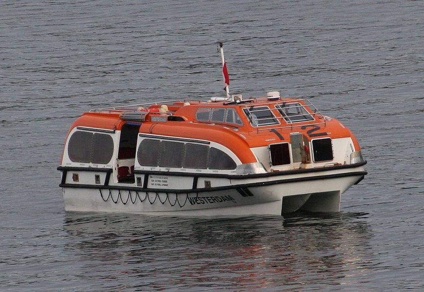 ship painted on the hull. The driver sat about where you might expect, if this were a British car, looking out the front windshield while sitting on what would normally be the American "passenger" side. ship painted on the hull. The driver sat about where you might expect, if this were a British car, looking out the front windshield while sitting on what would normally be the American "passenger" side.
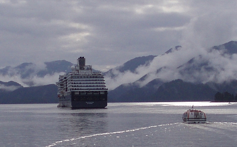
The passengers sat well below the driver, at the side window level. The boat rode smoothly and even in choppy waters (see Ketchikan) it was a comfortable ride. Our ship has become an island, and now the 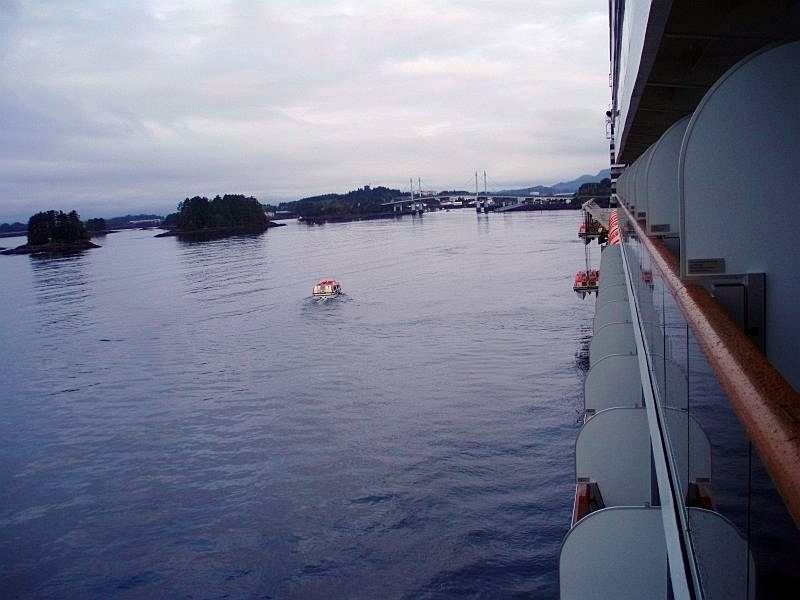 launches have become our cruising vessels. One of them is making its way ashore, as Sitka waits patiently for our arrival. launches have become our cruising vessels. One of them is making its way ashore, as Sitka waits patiently for our arrival.
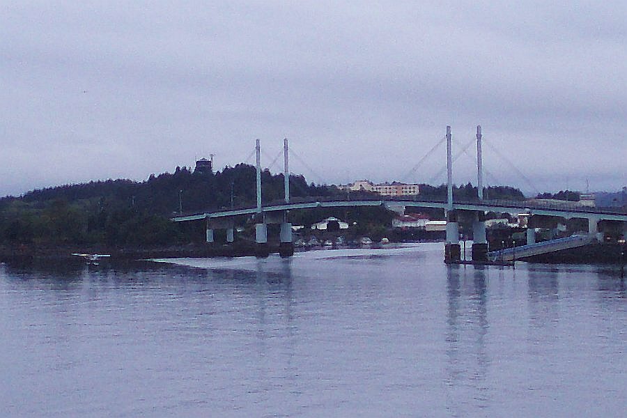
The O'Connell Bridge takes center stage in this shot, 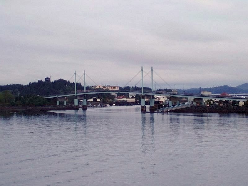 but it is the loading dock and ramps down and to the right of the main span of the bridge where we would be heading. Soon our launch would be parking there and we would be walking up those ramps for ourselves. We were getting excited to be on our way. but it is the loading dock and ramps down and to the right of the main span of the bridge where we would be heading. Soon our launch would be parking there and we would be walking up those ramps for ourselves. We were getting excited to be on our way.
This is the entrance to the marina, 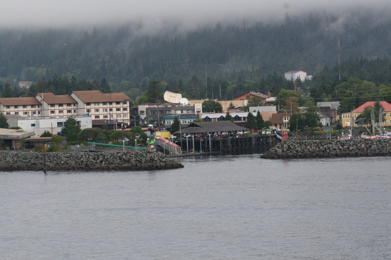 the passage through the stone seawall, for sailboats to enter. the passage through the stone seawall, for sailboats to enter.
The city, backed as it is by mountains and clouds, feels totally natural here in Alaska. Even though I was only a new visitor to this beautiful State, I felt right at home here. What could seem more at home in Alaska 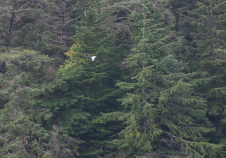 than a gull in flight, sweeping past the evergreen forest behind it? What a beautiful sight! than a gull in flight, sweeping past the evergreen forest behind it? What a beautiful sight!
And speaking of beautiful sights, here are 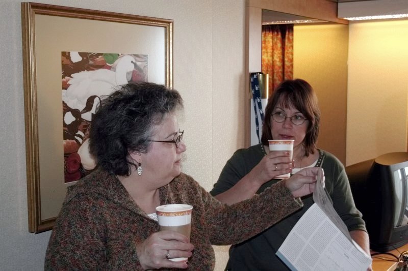 the two lovely ladies that Jim and I will be privileged to share the day with in Sitka, Alaska. the two lovely ladies that Jim and I will be privileged to share the day with in Sitka, Alaska.
Coffee in hand, with Dotti reading the ship-provided information brochure for this port stop, the girls are intent on finding the best places to shop, and they have already had a day's practice in Juneau. I don't know if Sitka is quite ready for what is about to happen to it. ☺ |