|
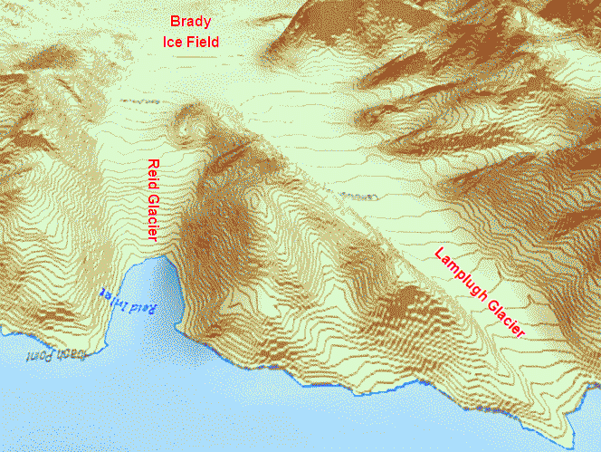
GLACIER BAY
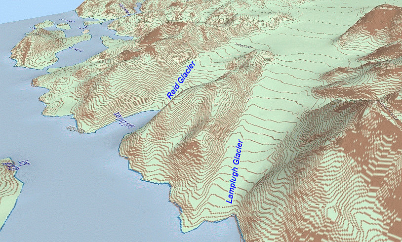
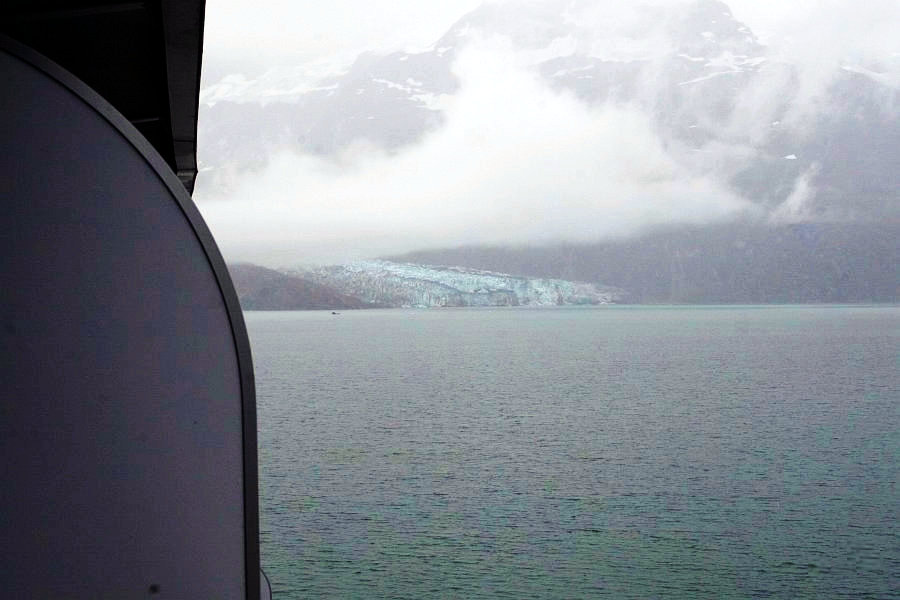
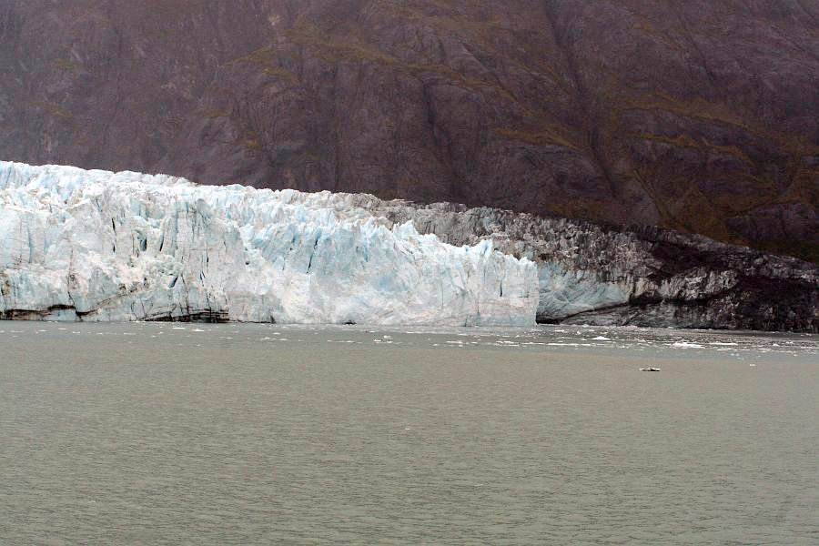
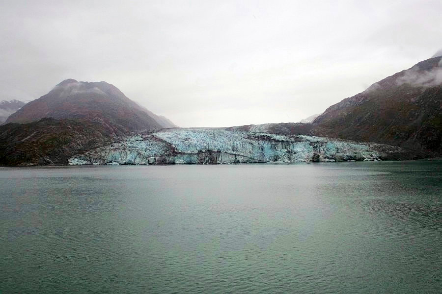
In order to give both sides of the ship a good view, the captain had the 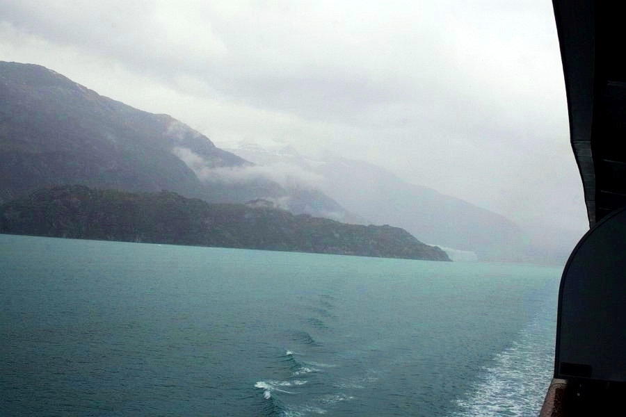 ship going in various circuitous paths. This is the Lamplugh Glacier, off the starboard side and aft of the ship. The ship was often turning and we would soon be going past this same glacier, in the opposite direction, on our way into the John Hopkins Inlet, over the mouth of which the Lamplugh Glacier stands guard. ship going in various circuitous paths. This is the Lamplugh Glacier, off the starboard side and aft of the ship. The ship was often turning and we would soon be going past this same glacier, in the opposite direction, on our way into the John Hopkins Inlet, over the mouth of which the Lamplugh Glacier stands guard.
Here we are headed due west, right at the mouth of the John Hopkins 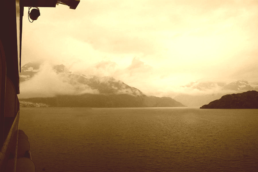 Inlet. The point of land on the right marks the start of the inlet, and the Lamplugh Glacier's terminus, the west end of which is just visible on our port side, is fully inside the inlet. The mountains off in the far distance straight ahead hold several "alpine glaciers," suspended high above the water. The first of these that we saw was the Topeka Glacier. Inlet. The point of land on the right marks the start of the inlet, and the Lamplugh Glacier's terminus, the west end of which is just visible on our port side, is fully inside the inlet. The mountains off in the far distance straight ahead hold several "alpine glaciers," suspended high above the water. The first of these that we saw was the Topeka Glacier.
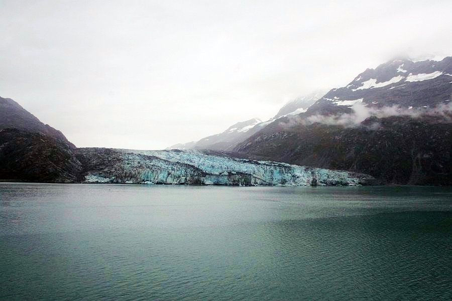
 Turning once again to give us more of a view of the Lamplugh Glacier, which is still dropping ice into the water, though it is retreating, as is the Reid Glacier we saw on the last page. Lamplugh averages around 155 feet above the water line, and varies from 10 to 40 feet under the water.
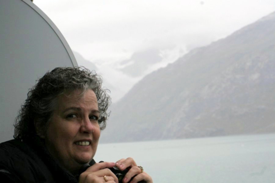
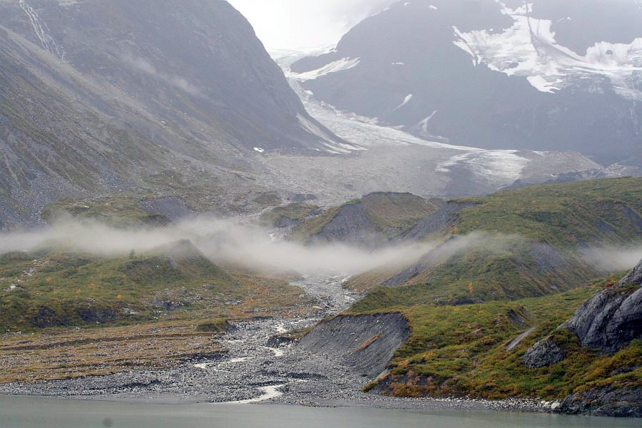
Standing high above the glacier is the 6,780-foot Mt. Cooper. What makes that interesting is that the foot of the mountain is standing in the ocean. We are less than 5 miles from the top of the mountain, and it is over a mile high. If you measured the angle from base to top it would be 16°, whereas the 14,115-foot Pike's Peak would only cover 15° when viewed from 10 miles away in Colorado Springs. The clouds are hanging low over Glacier Bay and they do drop some occasional rain. Still, our verandah is covered and I wasn't going to miss this! The mouth of John Hopkins Inlet, and here we go into it. 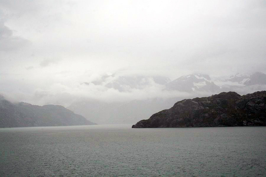 Clouds and glaciers both hang on the mountains in the background, and the gray and white colors merge into an eerie backdrop for our adventure. What secrets were in store for us to uncover? I couldn't see any ice in the water. Would we see any more? Clouds and glaciers both hang on the mountains in the background, and the gray and white colors merge into an eerie backdrop for our adventure. What secrets were in store for us to uncover? I couldn't see any ice in the water. Would we see any more?
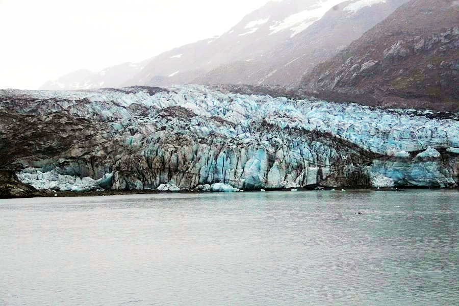
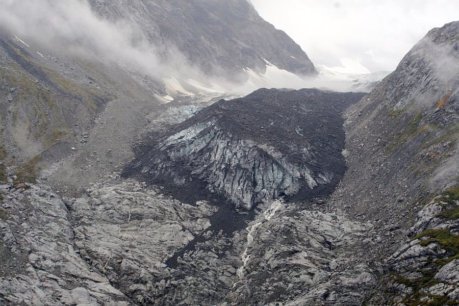
This final look at Lamplugh Glacier was actually our best, and unfortunately it wasn't until we were on our way out, at something over 20 knots. 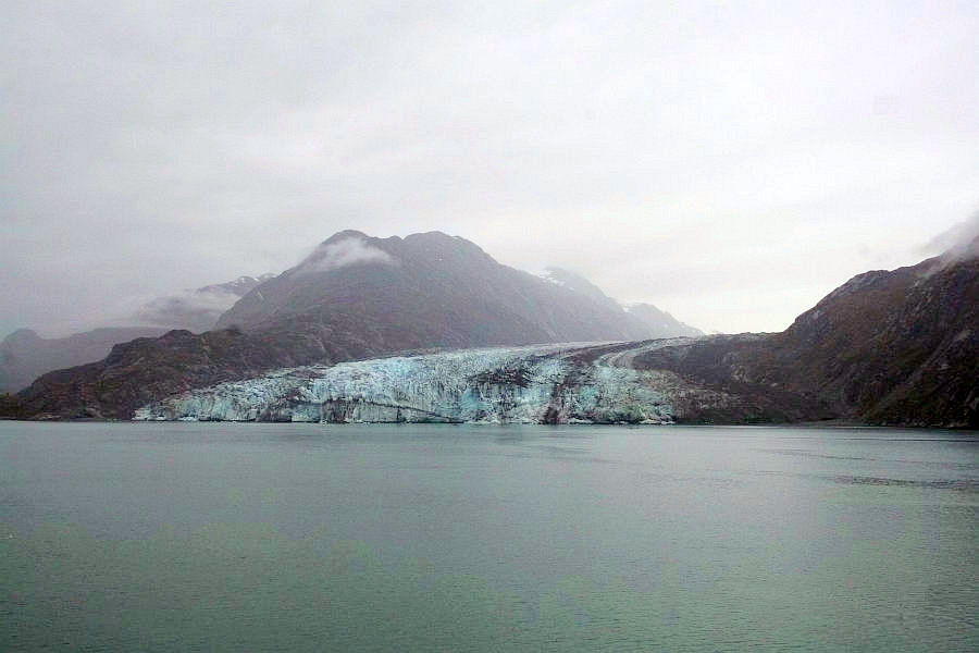 On our way out of the John Hopkins Inlet, since we were heading due east, this glacier to the south was right off our starboard side. On our way out of the John Hopkins Inlet, since we were heading due east, this glacier to the south was right off our starboard side.
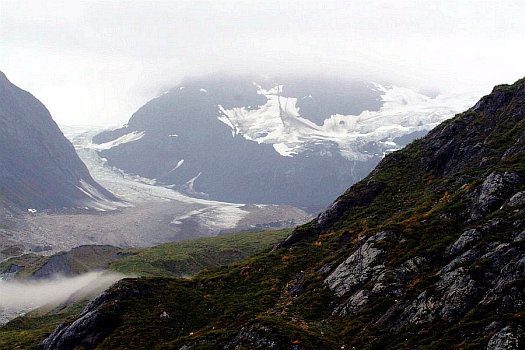
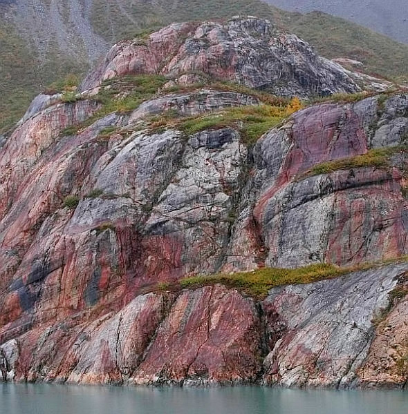
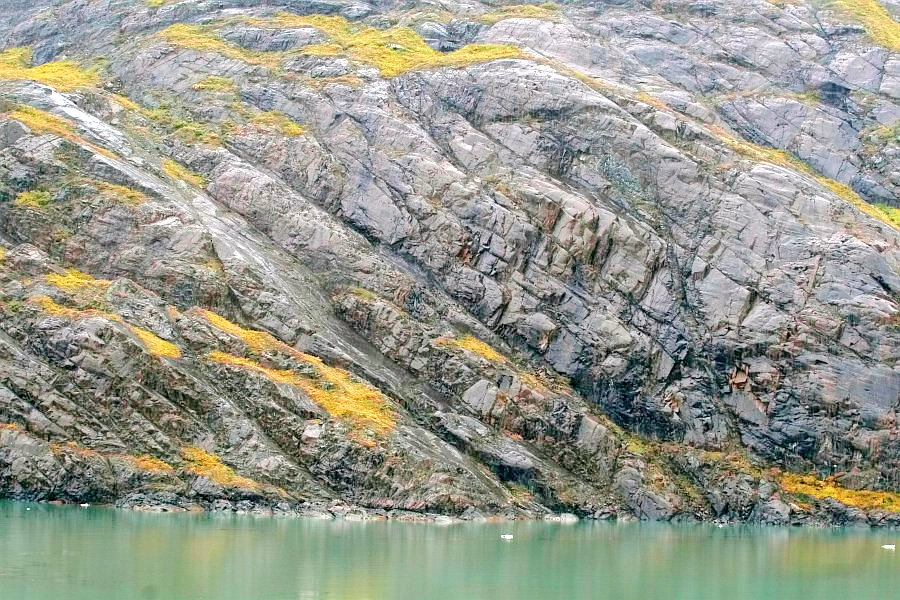
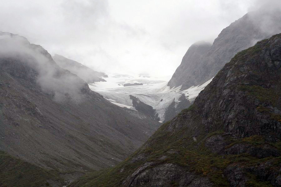
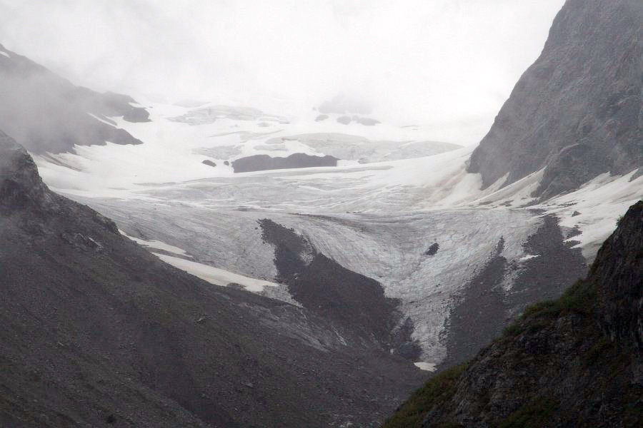
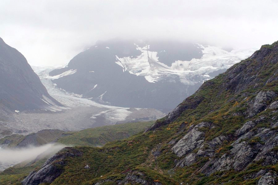
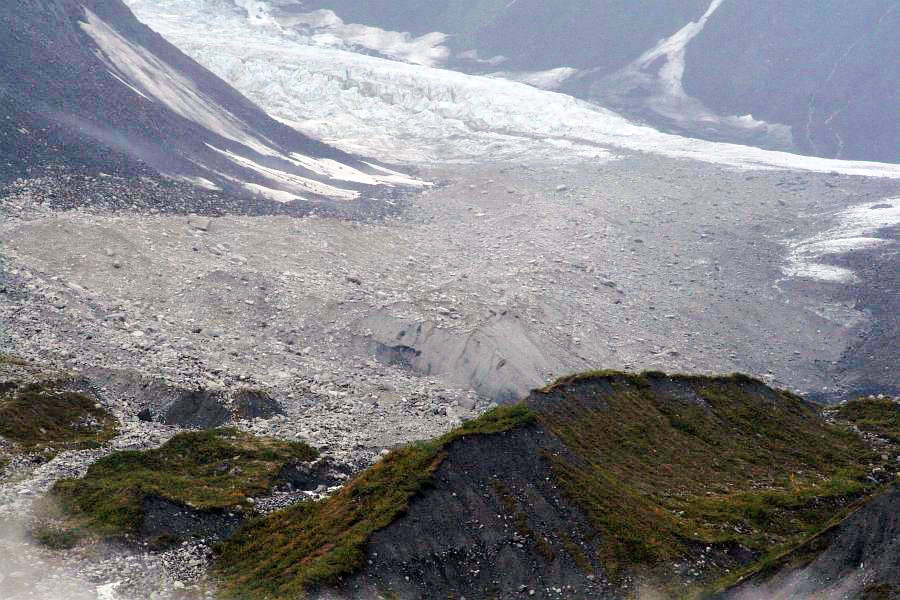
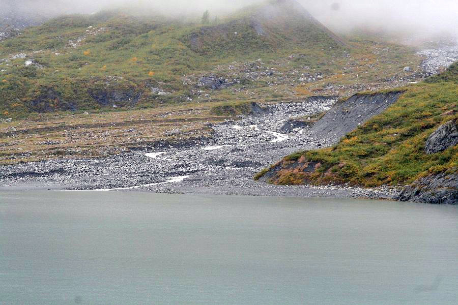
It seemed odd looking right up the glacial valley this way. The Lamplugh Glacier is dirtier than the Reid Glacier was. There is no part of this one that would seem to be "good enough to eat," and the right side is especially dirty. The reason for this is that the left side has an almost straight edge all the way up the valley to the Brady Icefield. It doesn't have to expand and contract as much to match the surface it is sliding against. The right side has a quite different arrangement. There are some large changes in the contours of it sliding surface. This forces it to change shape by pushing and dragging against the rock far more severely. The rock reacts by breaking up and dropping down in rockslides on to of the ice. How high was the ice in this valley we are looking at when the entire 65 miles of the bay were filled with ice? What did it look like then? Did it flow, or did it just rest waiting, for the thaw?
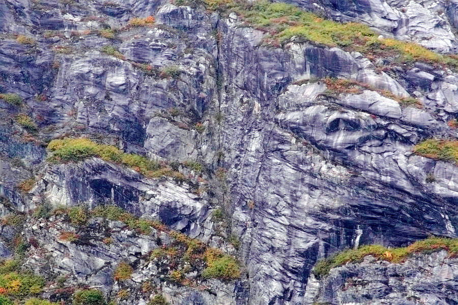
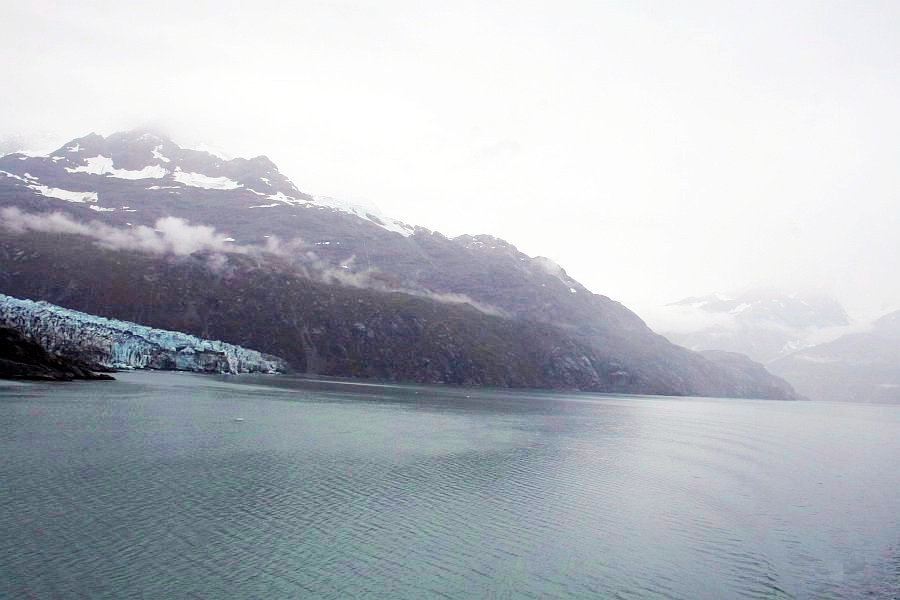
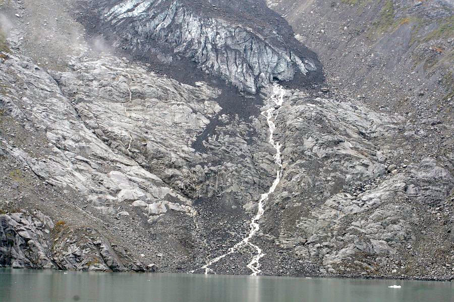
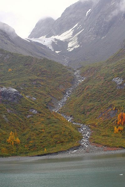
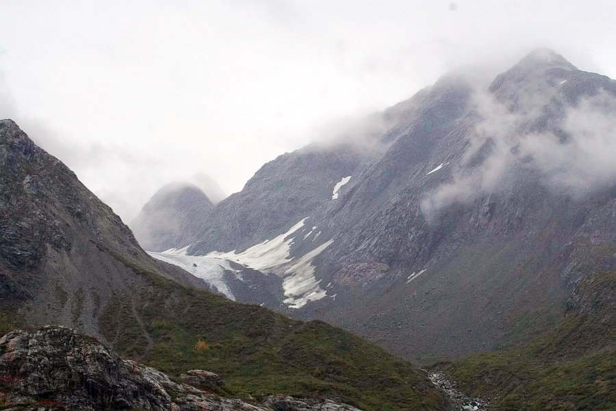
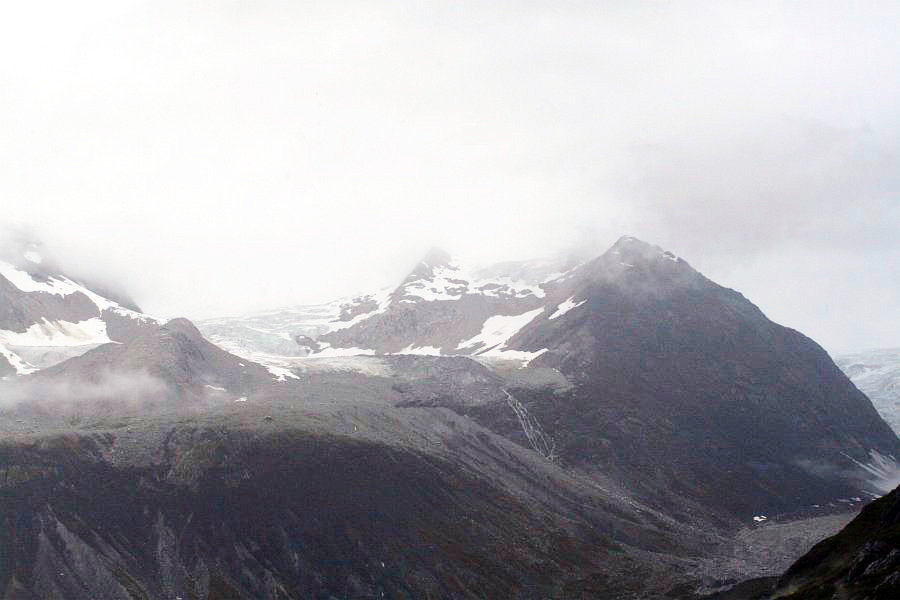
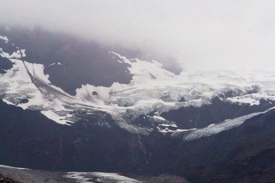
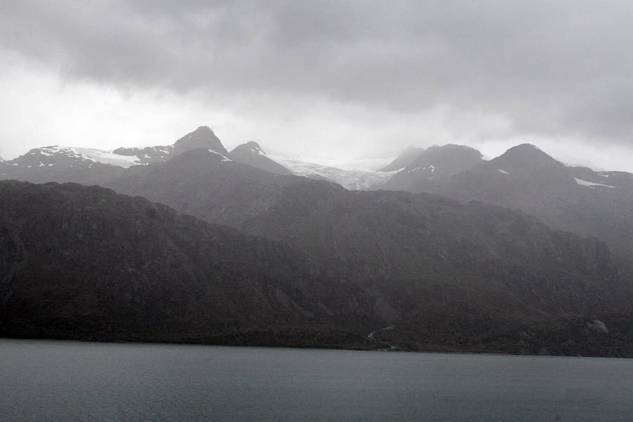 High above us rests an "alpine glacier", similar to the ones you would find on very tall mountains around the world. This type of glacier does not move down to the sea, and it cannot create icebergs. But it does shape the rocks beneath it.
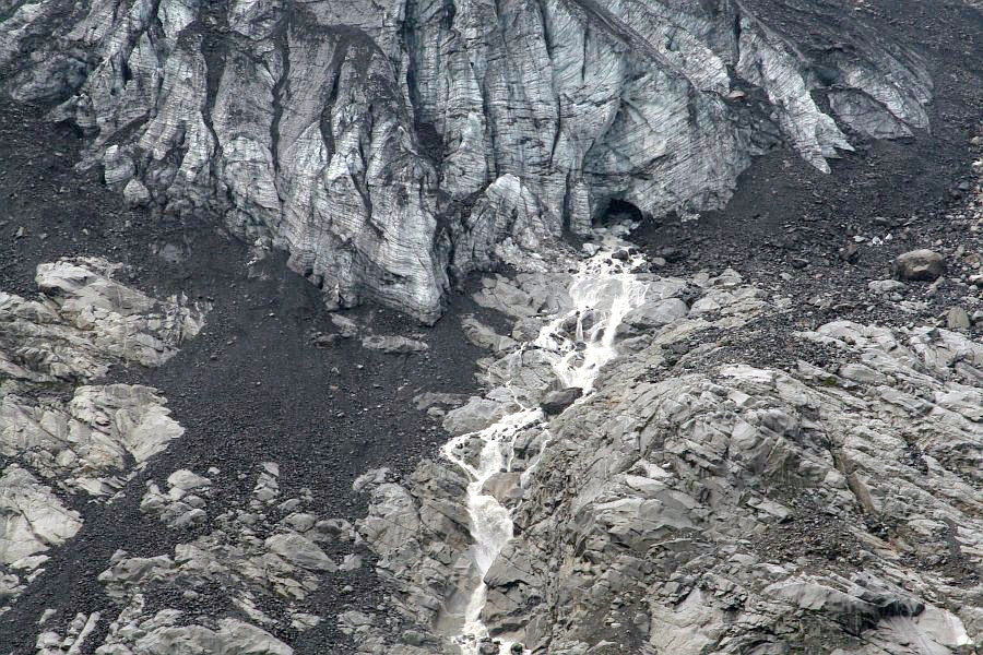
It was hard for me to visualize what it would have been like when this entire valley was filled with ice. This alpine glacier may well have been even with or even covered by the top of the ice pack here. 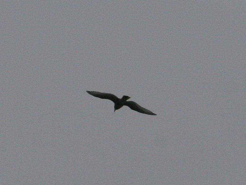 A gull flies by in search of a meal, and it looks almost black against the gray sky.

|