Wildwood Trail Miles 5 to 7.88
7/19/2003
The Coon Family Hiking Club
Official Hike #12
5.8 miles - 2 hours 30 minutes
|
On this hike, we once again hit the Wildwood Trail. On previous hikes we had hiked the Wildwood Trail from its start, at the Portland Zoo to mile 3.84 at the Pittock Mansion, and from the Pittock Mansion to the Stone House at the junction with the Lower Macleay Trail at mile 5.5. Today's hike took us from the parking lot at mile 5.0 out to the Wild Cherry Trail at mile 7.88. We still have another 21.87 miles to go, but we have now completed over one-fourth of the entire Wildwood Trail.
This week's hike was much easier than the one we had last week. We only had an elevation change of about 525 feet total. We parked our car at the 500-foot level, and then hiked down to an elevation of about 350 feet, before climbing to the 725-foot level at the turn around point. That run was a vertical change of 375 feet. Then when we went back to the bottom, we had to climb the 150 feet again to our car. (The net effect was the same as if we had started at elevation 200 and then walked up to the 725-foot level and back.) That was nothing compared with the 2800 feet of vertical change last week. However, we still got a nice workout, as we walked 5.76 miles along s very scenic trail. The Wildwood trail is set inside the Forest Park, located inside the city limits of Portland! The park is over 4,900 acres in size! (That makes it the largest park inside the city limits of any in the USA. It is 3.5 times the size of the Forrest Park in St. Louis.) You can walk the entire 29.75 length of the Wildwood trail and never leave the city of Portland! Its location is why we chose this hike this week, because I was on call again, and I had to stay within range of my pager during the hike. We arrived at the parking lot in time to get started on our walk about 07:45. We wanted to get going early enough to beat the heat, since today was supposed to get up to 90 degrees. Last week we were caught by the heat, and it really tired us out. This week we were all done by 10:30, and although it had warmed up quite a bit by hike's end, it was still not too bad. We worked up a good sweat, but we were not uncomfortable. |
||
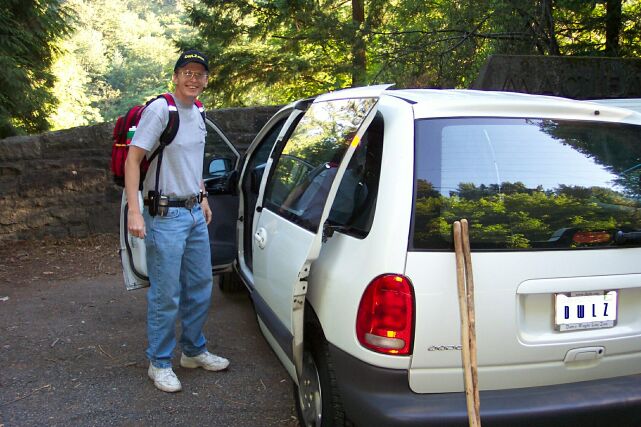
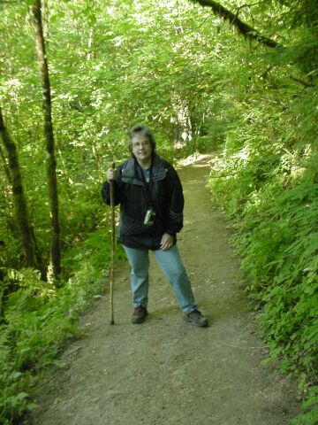
| Here Dotti caught me as I was getting things out of the van, preparing to start the hike. The stone wall behind me is one that we saw on our Macleay Trail hike (hike #3), when I took a picture of Dotti standing in front of the engraving on it that says "MACLEAY PARK Donated to the city of Portland in 1897". For the first half-mile, we will be covering ground we have walked before. My backpack this week is loaded up with more water than I had last week. As it turned out, I didn't need much of it, but at least we were prepared this time, because Dotti was carrying two bottles too! My pack weighed 15 pounds on this day. | |
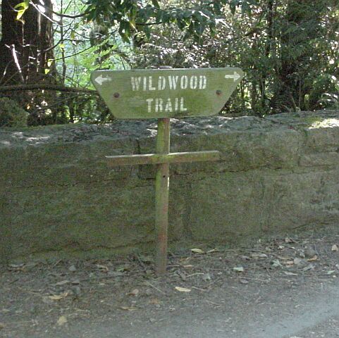
| The everpresent green signs that mark the Wildwood Trail. To the right is the path leading across Cornell Rd, and up to the Pittock Mansion. To the left lies 24.75 miles of the Wildwood Trail, including the 2.88 section that we will be walking out and back on today. |
|
|
| This is the path to the Pittock Mansion that we took on our Hike #3. Today we will head in the opposite direction. | |
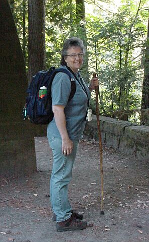
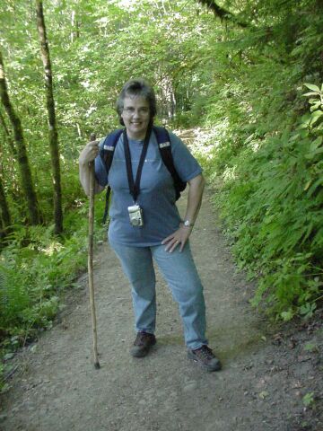
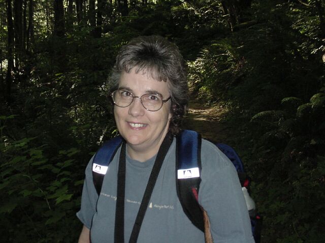
| Here is Dotti with her 12 pound backpack, walking stick, and smile, ready to head out on our CFHC hike #12. |
|
|
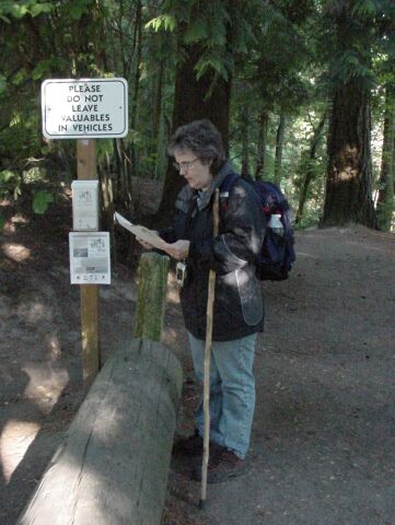
| The trail now heads down from the fairly large parking area. Dotti was starting to shiver at this point, and decided to put on her coat. Now all toasty warm, Dotti takes a moment to look at a brochure that was in the holder mounted on the signpost. Apparently there was a 20-mile walk/run that was going to be taking place on the Wildwood Trail on the next day. We apparently just missed being buried in a crowd on our hike by one day. | |
| Looking back from the trail to the restroom facilities in the parking lot. They even had running water! |

|
|
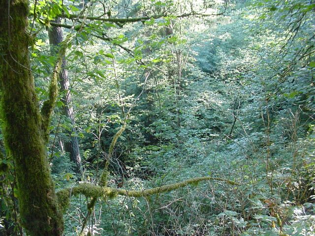
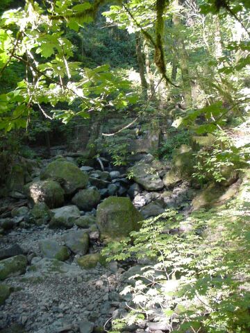
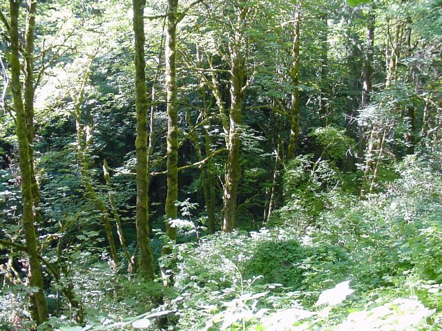
| Looking down into the valley where the Balch Creek runs along at about the 350-foot level. Notice the moss on the tree, and the green foliage below. | |
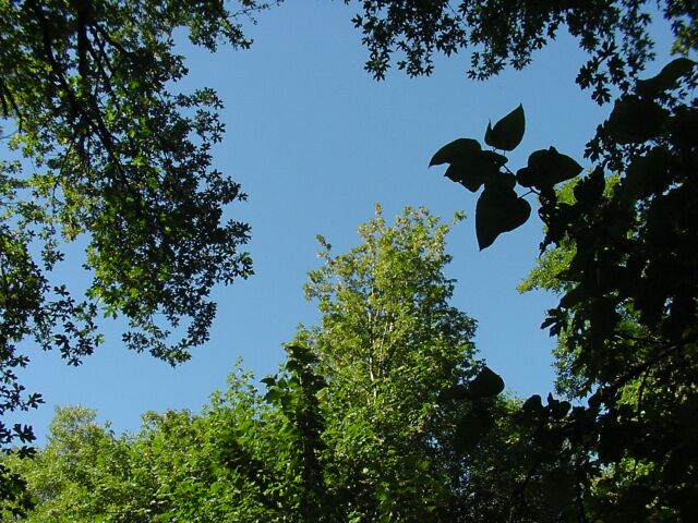
| The sun was out for the whole walk. Not a cloud in the sky. Fortunately, we were shaded nearly the whole way by the lush forest growth. |
|
|
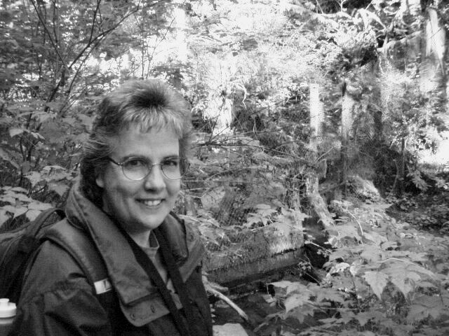
| I thought I would offer a change of pace and throw in a black and white image. Dotti is standing at the base of the 150-foot drop we hiked first, with the Balch Creek in the background. | |
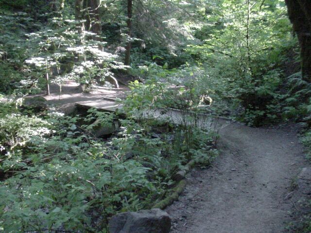
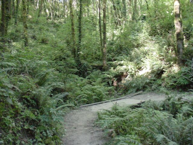
| This bridge stands at the start of our walk along Balch Creek. On the way back, we knew we were nearly back to our car when we crossed this bridge. |
|
|
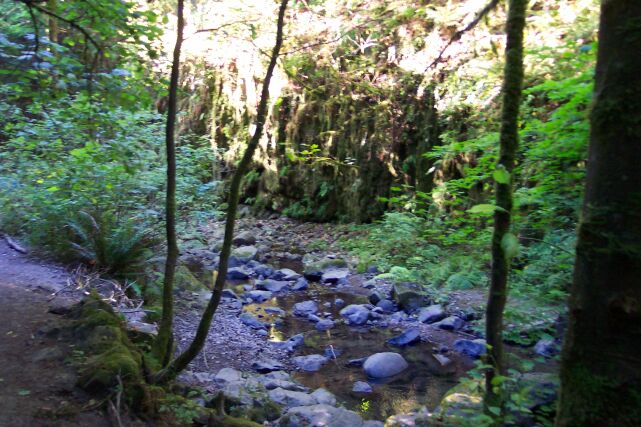
| The water level was pretty low, as is normal during the dry summer months. | |
| The rocks in the creek bed all tell a tale of much greater amounts of water flowing down this stream, rolling them along and knocking off their sharp edges. |
|
|
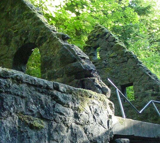
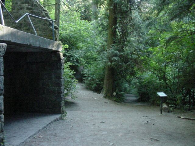
| This is the Balch Stone house, that we visited on our Hike #3. | |
| This fork in the trail, at the 5.5 mile marker for the Wildwood Trail, marks the point where we enter virgin territory for us. On the right is the Macleay Trail, which we came up on our Hike #3. It continues to follow the bed of Balch Creek. To the left is the continuation of the Wildwood trail, where our path lies today. |
|
|
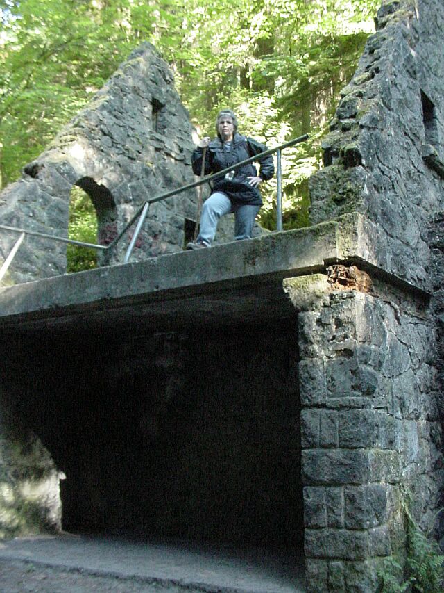
| Dotti once again mounted the stone steps to pose for this picture in the Stone House. | |
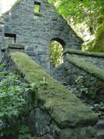
| The moss covered stairway. |
|
|
| And now we start our hike on new ground. | |
| Dotti was starting to get a bit warm finally, and decided to take off her coat. |
|
|
| Now she is ready to go, with her coat tucked away in her backpack. | |
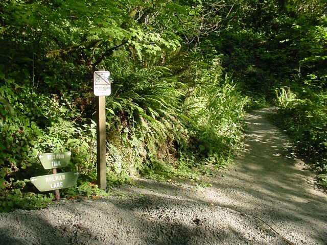
| One of the nice things about the intersecting trails, is that they are good indicators of how far you have come. Holman Lane is at mile 5.93, which means we have come almost a mile so far. |
|
|
| I put two pictures together here, showing Holman Lane heading off to the east and to the west. | |
| Most of the creeks that we crossed over during our hike were completely dry. The bridge and greenery stand in testament of the presence of water in the past, but the creek bed itself is carrying no water. |

|
|
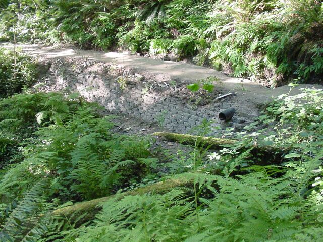
| One of the things that I always find interesting is the amount of labor that has clearly gone into creating and maintaining the trails we have hiked on. This brickwork provides support for the trail that would otherwise be washed away with the seasonal rains. The drain pipe keeps the water flow from off the path surface, avoiding erosion. | |
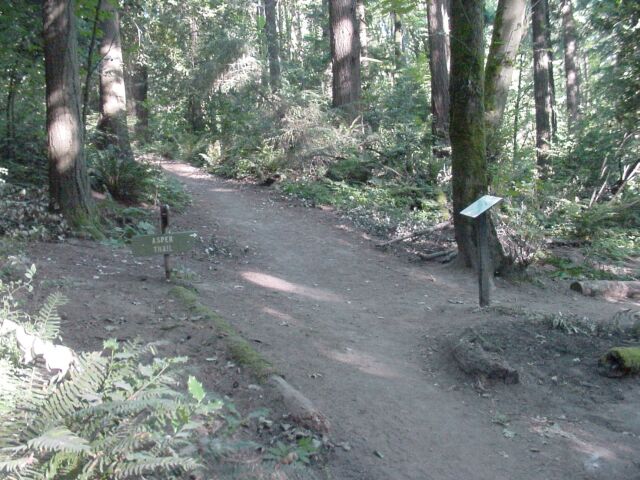
| Aspen Trail intersects with the Wildwood Trail at mile 6.36, or 1.36 into our hike. |
|
|
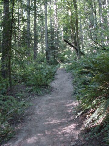
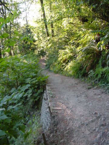
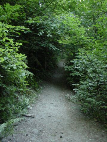
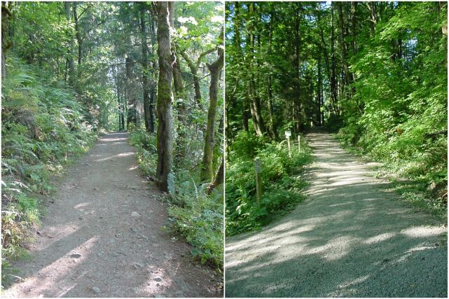
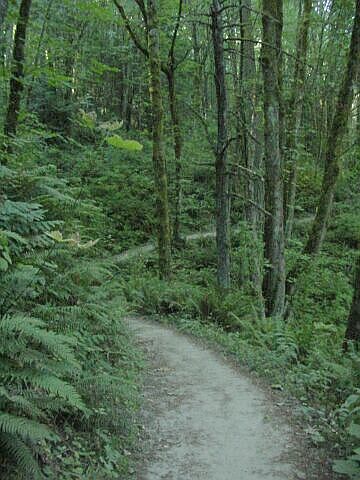
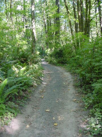
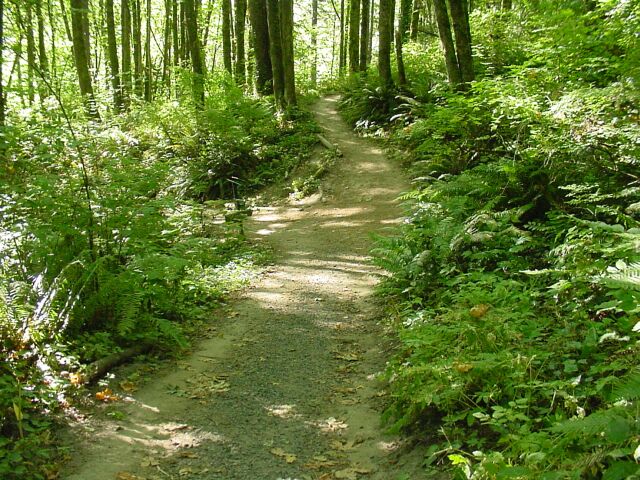
| This forest path could be in the Columbia Gorge or down in the Silver Falls area, but it is located within the city limits of Portland, Oregon. | |
| I grabbed a close up of my favorite photo subject. |
|
|
| Here I am pointing to where we are on our hike. It is somewhere around mile 7.0 on the trial, or 2 miles into our hike. According to the elevation map, we are nearly at the top of our climb, with little more rise ahead of us. You can tell that the sun is starting to break through the tree cover here, on top of the ridge, more than it was down in lower areas. | |
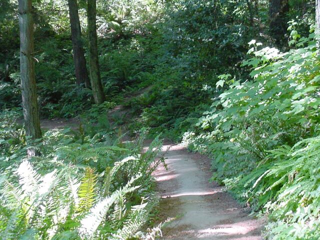
| However, we still have a bit more of the shady ground to cover. |
|
|
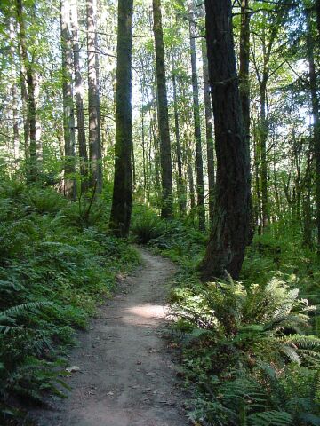
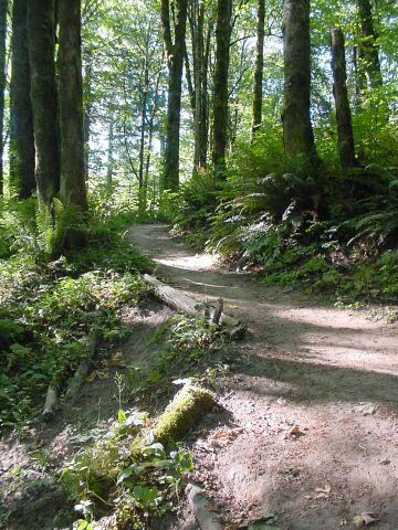
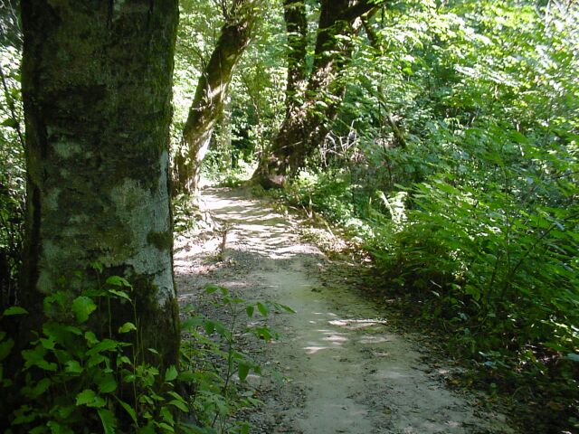
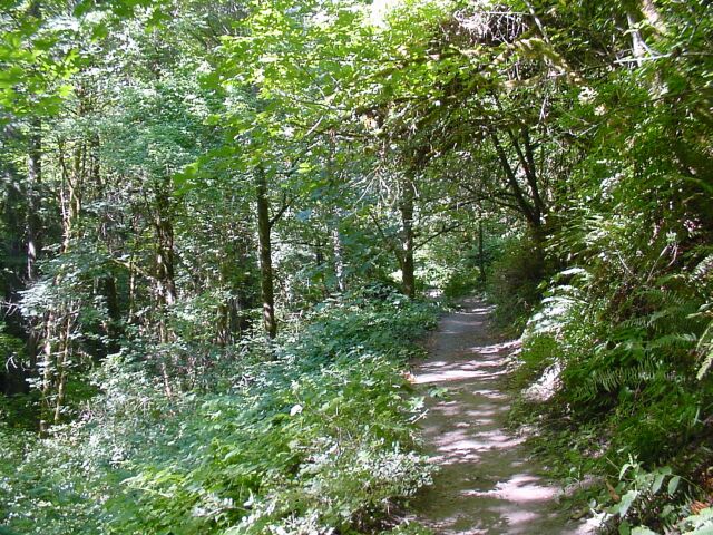
| The trees are not as large in diameter here as the ones we have been seeing in the Columbia Gorge, but the green is still very pronounced, and the path looks inviting as it cuts its way through. | |
| The blue sky is breaking through the trees as we reach the upper point in our walk. |
|
|
| The sun is painting the view, and another bridge crosses another dry bed. | |
| I am not sure why this little log was located in the middle of the path, but I thought it looked interesting, so I took a picture of it. |

|
|
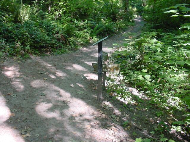
| Birch Trail intersects at mile 7.49 of the Wildwood Trail. We have come 2.49 miles so far, and are nearing our turn around point. | |
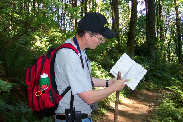
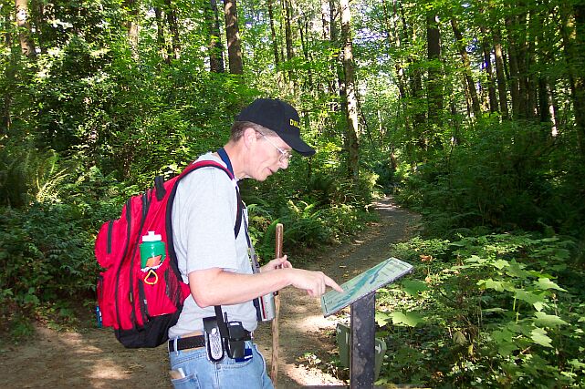
| Here I am checking the Wildwood Trail map, at the Birch Trail junction. Not only is the Wildwood Trail very clearly marked along the way, but it also has these maps of the entire trail at nearly every junction point. |
|
|
| With all the sunshine and blue sky breaking through, it feels like we are nearly at the top of the ridge. | |
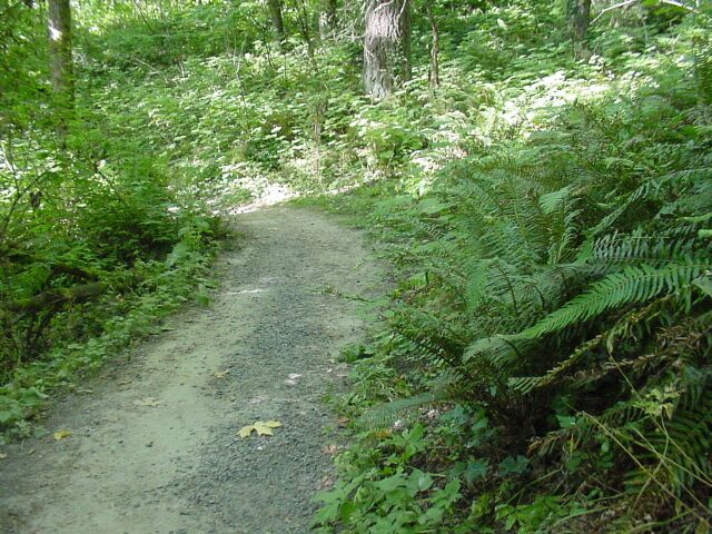
| In places the trail gets fairly wide, almost large enough for cars to drive on. |
|
|
| Moving from the shade into the sun. We are nearly at the place to turn around and head back. | |
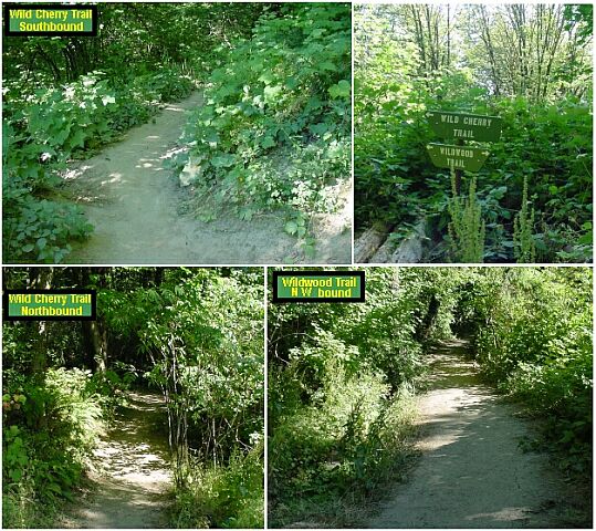
| And here it is! Wild Cherry Trail is at Mile 7.88, which brings us to our 2.88 mile mark for our hike. We have now walked on all of the first 7.88 miles of the Wildwood Trail. It is taking some time to complete the trail, since we have been hiking it in piecemeal. It does make for a nice place to hike on the weeks where I have to remain in town for the pager coverage. I put 4 pictures together for this shot. I showed the Wild Cherry Trail going off in both directions and the Wildwood Trail moving into territory that, for us, will have to wait until another hike. We had several joggers pass us by while we stopped to grab some water. They came up the Wild Cherry Trail and continued on it. We saw far more joggers during our hike today than on any other trail that we have been on. We saw very few hikers, but the total number of people we passed, mostly in their jogging shorts, was larger than on any hike we have done so far, with the exception of Multnomah Falls. |
|
|
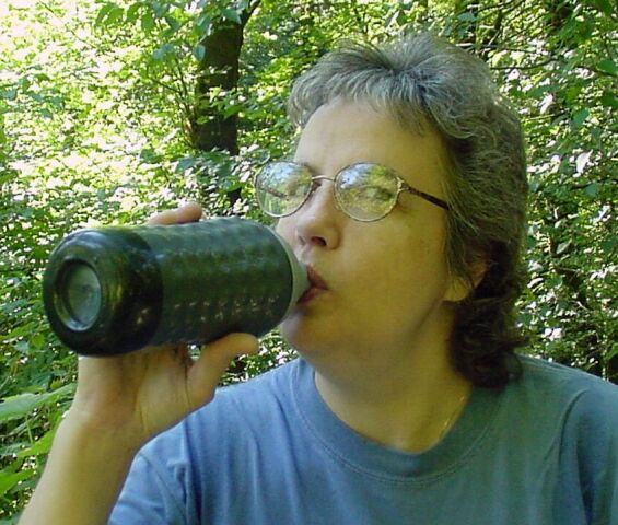
| Dotti is grabbing some water here. We had plenty of water for this hike! | |
| The skies were absolutely cloud free. Fortunately it was only a little after 09:00, so the temperature had not risen too much yet. |
|
|

| The path back was mostly downhill and very pleasant to walk. | |
| The sun, forest, and path all join together to make a very enjoyable mix for two very pleased hikers. |
|
|
| The path has broken out of the trees a bit here. | |
| But it moves back under cover fairly quickly. We appreciate the shade, because it keeps us nice and cool. |
|
|
| Looking down into the valley as we are on our way down. | |
| This is a nice interesting mix of vegetation surrounding the shaded path, with only some splashes of sunlight to keep things appearing cheerful. |
|
|

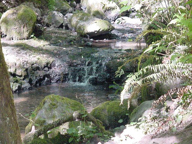
| It just doesn't seem like a real hike until we see some water! We are now in the Balch Creek valley again. We have a short hike along the creek, and then a 150-foot climb and we will be done. | |
| Even a little waterfall can be found, to complete this fun little hike! |
|
|
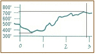
| This is an elevation chart for our hike. You can see that we started at the parking lot at 500 feet in elevation. We dropped down to about 350 feet right away. Then we spent nearly the whole rest of the way outbound, climbing up to the 725-foot level. The path back was nearly all downhill until the last half-mile where we did the walk up to the car, going up 150 feet. That walk seemed very short to us when we got to it. | |
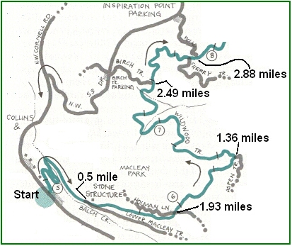
This is a map that shows our walk from our starting point at NW Cornell Rd. all the way out to the Wild Cherry Trail, 2.88 miles away. It looks like a future hike may include parking at Inspiration Point, and walking down the Wild Cherry Trail back to the Wildwood Trail, and then continuing north on new ground for us. But that will have to wait for another day. |
|
|
|
Next week we are thinking about Mt. St. Helens. There is a hike that I have discovered in a book that is calling my name very strongly. |
||