TRIPLE FALLS
May 24, 2003
The Coon Family Hiking Club
Official Hike #2
5.5 miles - 2 hours 40 minutes
 1997 |
 2003 |
|
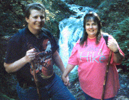
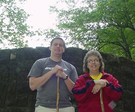
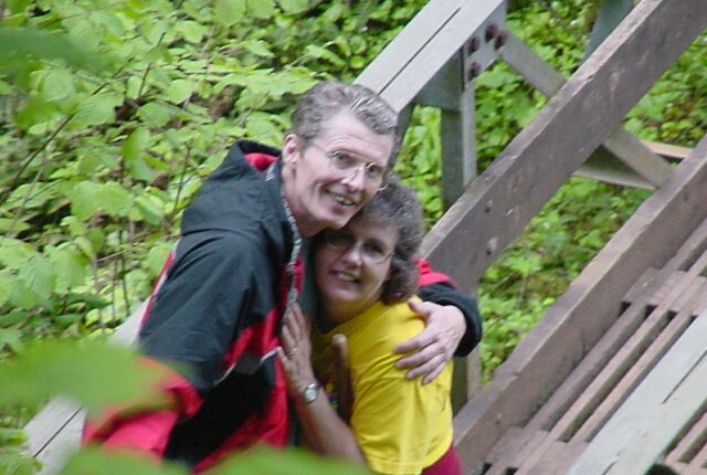
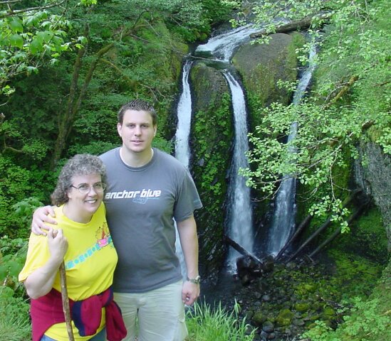
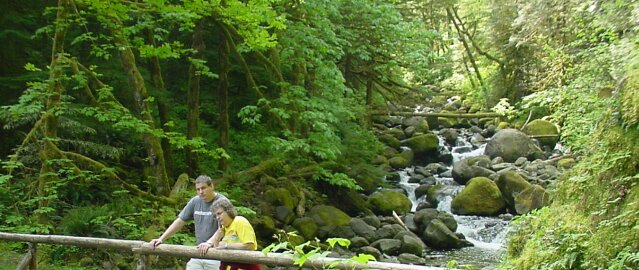
For our second Coon Family Hiking Club outing, we chose a hike to Triple Falls in the Columbia Gorge. Dotti and I had taken this hike once before, back in 1987, and her brother Rip had joined us on that one. (He took the picture above on the left.) This time we were hiking with our son LeRoy. (He took the picture above on the right.) Between Dotti and I, there are 135 fewer pounds in right picture than in the left!
|
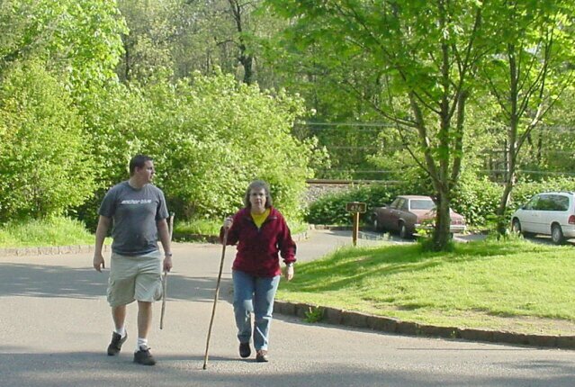 We arrived at the Horsetail falls parking lot around 08:00, and you can see the shadows that the trees are casting are still fairly long. We were very pleasantly surprised by the weather! The forecast called for possible rain, but that turned to be much later in the day. During our entire walk the skies were blue and the sun was shining down. Here LeRoy and Dotti are cross the Columbia Gorge Highway from the parking lot over to the Horsetail falls, where the trailhead for our hike is located.
|
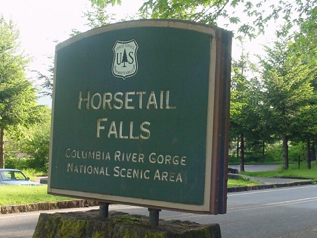 The Horsetail falls sign. All along the Columbia Gorge Highway they have posted signs like this at the major stopping points, which include: waterfalls, canyons, trailheads, and so forth.
|
 Dotti slyly maneuvering into place to put a full nelson on the unsuspecting LeRoy, with the base of the Horsetail falls (one of 4 different falls that we would be seeing this day) in the background.
|
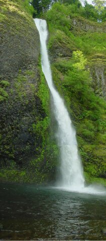 I pieced 3 pictures together to create this one picture of the entire Horsetail falls, clearly named for its appearance. In the summertime, when the temperature is up, it is such a nice feeling standing next to the fall pool and catching the cool spray. I just love it.
|
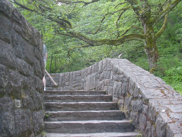 These stone steps lead down to the fall pool from the roadway. You can just see LeRoy sneaking out of camera range at the top.
|
 I was finally able to coax LeRoy and my lovely Dotti back into camera range, and I shot this picture from down by the fall pool, looking up at them. The sun is shining brightly in the east behind them.
|
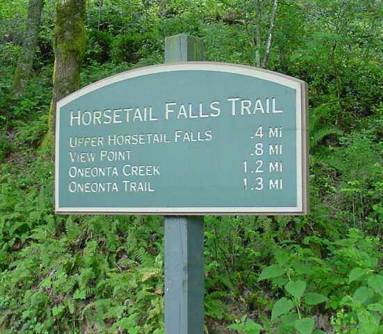 This is a sign located a the trailhead. The Ponytail falls (Upper Horsetail Falls) are nearly a half mile up the trail, and the Columbia Gorge view point is nearly a mile. At just over a mile we would cross the Oneonta Creek, and there is the Oneonta falls is the third falls we will see. Around a mile beyond that lies the Triple Falls. (The route we took up is approximately 2.5 miles, and we did go a bit beyond the Triple Falls. The route we took back was not completely the same. When we hit the Oneonta Trail junction mentioned on the sign, at the 1.3 mile point, we took that trail heading west, in hopes of reaching Multnomah Falls. As it turned out we only made it back to the highway and had to walk back to our car and drive to Multnomah falls 2 miles away. More later on that.)
|
 Is that determination, trepidation, or simple mischeviousness written on Dotti's face? The We are at the start of the tail and it stretches out behind her. And it looks like it is running mostly up. (We had told LeRoy that we remembered the trail to be much easier than the Multnomah Falls trail. He accused us later of having very bad memories, and we had to agree with him.)
|
 LeRoy and Dotti trying to decide who is going to lead the way.
|
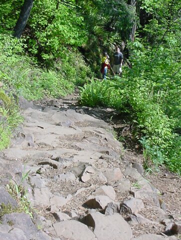
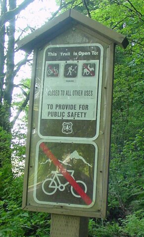 This sign tells us that we can't take our bikes or our horses with us on the trail. We had to turn around at this point, and put old Trigger back in his trailer and strap our bikes back on the rack. Seriously, this trail would not be something you would be able to do either on. There are several places where horse couldn't make it, and a bike would be impossible to ride. We were shocked at one point along the way, fairly close to the triple falls, where we ran into two joggers running up, and then running back down. We were happy to be walking up the trail at that point, because of all the steep grades, and these crazy guys went running by. They weren't running really fast going up but they were jogging much faster than we were walking. Going down they were moving a lot faster than what I would have considered safe. It wasn't just the grade that was difficult, but the rocks in the trail could have easily caused a sprain or break in an ankle (or cause you to slip and go over a cliff). This trail is not like the paved Multnomah Falls trail.
|
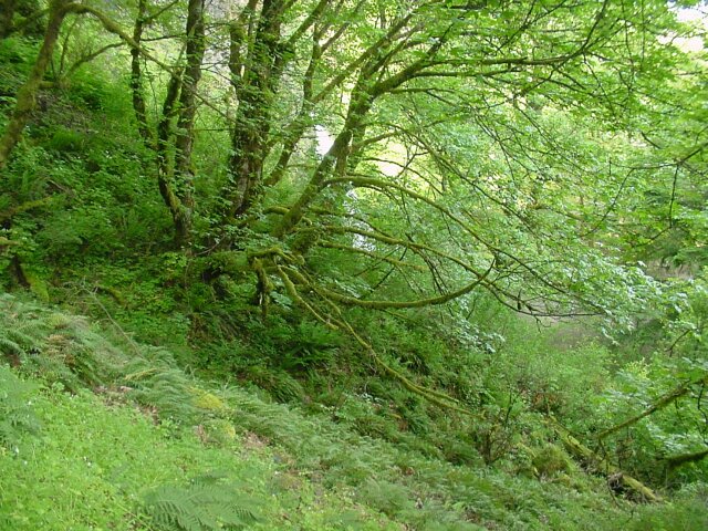
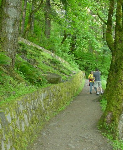
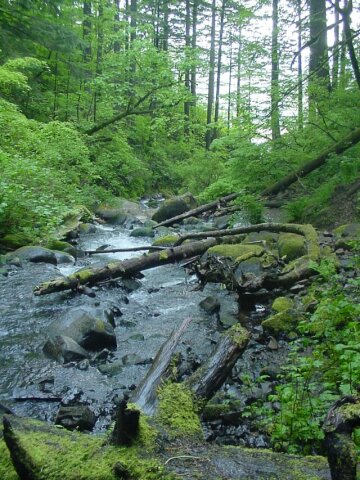
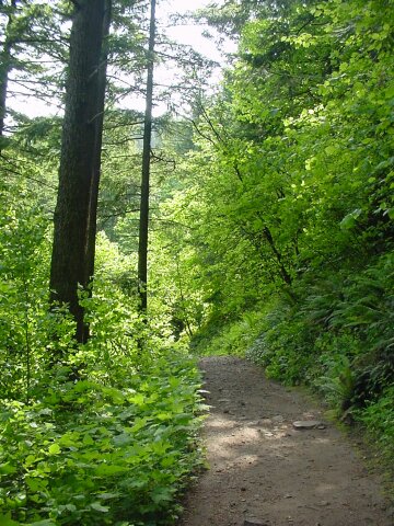
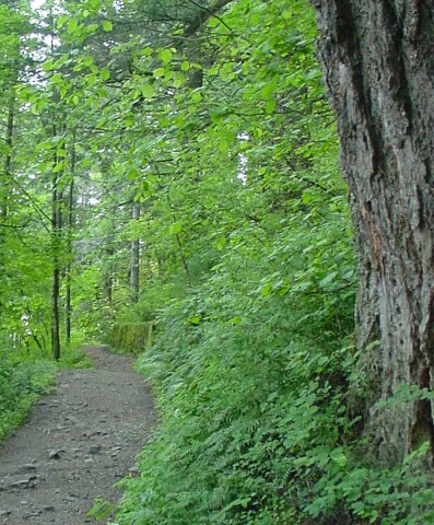 Here you can see the lush greenery that is growing rampantly along the trail. Off in the distance you can see a rock wall along the trail that is totally covered with growth. The trail itself along here is very well cared for, but it is dirt and sprinkled with rocks.
|
 Nearly every surface is covered with green. Even the branches and trunks of the trees are coated with moss.
|
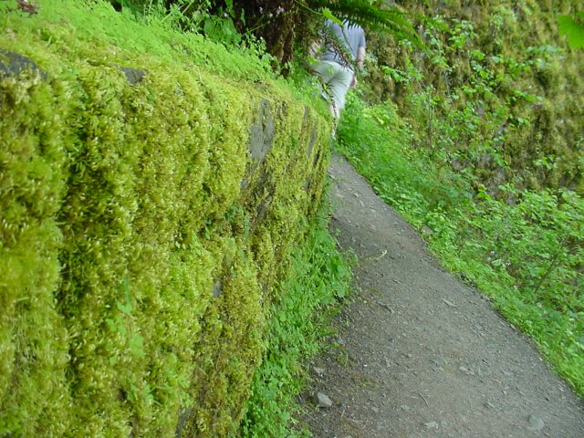 With LeRoy disappearing around the corner in the background, in the foreground you can see the rock wall, running along the side of the path at this point, is completely covered with growth. Dotti was leading the way at this point. She and LeRoy were often moving away from me as I stopped to take pictures. I was catching up a lot early in the walk. I took over 160 pictures during the day, and my battery was nearly out by the time we finished our walk.
|
 Another shot of the green. It was intense!
|
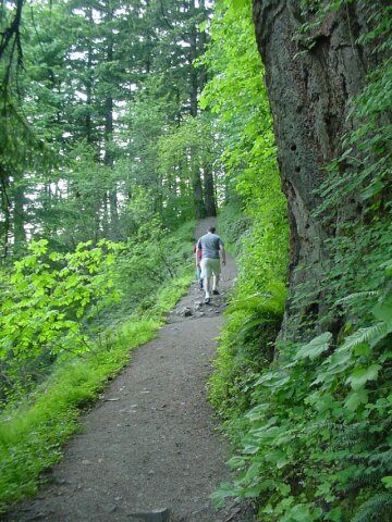 Dotti and LeRoy ahead on the trail. Here the trail is smooth with few rocks. Very easy walking, except for the grade.
|
 I kept feeling like Tom Bombadil (Fellowship of the Ring book) should come singing around a corner at any minute. The trees at times seemed like they could come alive with motion and speach, and the forest seemed saturated with the stuff of myths and legends. It was great!
|
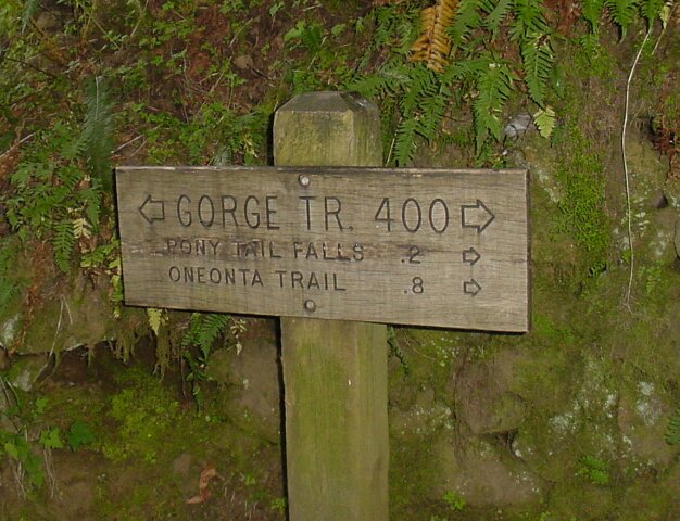 The Gorge Trail 400 runs many miles east to west along the Columbia Gorge. Here our trail joined with it, as 400 came in from the east, forming a single trail heading north before turning west and crossing the Oneonta creek near the falls.
|
 As the rock wall highlights the route of the switchback ahead, Dotti and LeRoy stop to continue their discussion of particle physics, they had started in the van on the drive over.
|
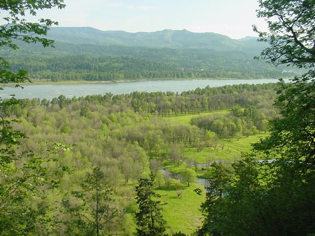 We were quite a ways up already and when we popped out into the open the view looking north was spectacular. The Columbia Gorge is magnificent! The little stream below is a landmark to keep in mind for one of the later pictures, so you can see how far we moved towards the west between where the pictures were taken.
|
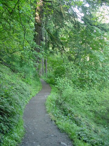
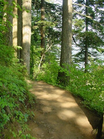 The trail leads us back into the forest again, just around the corner.
|
 Looking down on the Horsetail Creek, where it creates a "baby falls."
|
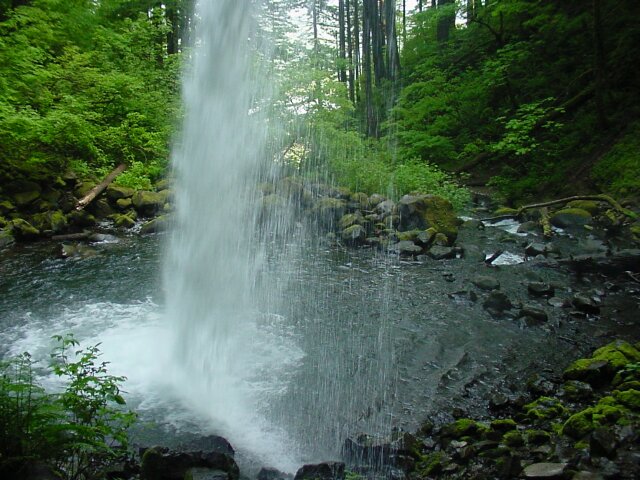
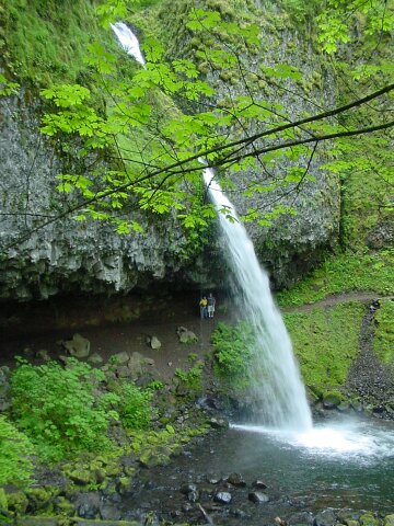 The Ponytail Falls (Upper Horsetail Falls). Behind the falls you see a cave, and there are Dotti and LeRoy standing beneath the falls. The cave was created by the water spraying back against the rock wall that used to extend all the way out to the rest of the rock wall that the falls drops over. Water laying on the rock freezes in the winter, and expands inside any of the cracks in the stone. (And this basalt rock is loaded with cracks.) The expansion widens the cracks and in time, a piece of rock will fall. Then another and another, and finally there is a cave created. (There is cave similar to this behind the upper Multnomah Falls as well, and LeRoy and I went inside it behind those falls about two weeks before a boxcar sized rock broke loose from the upper falls wall and crashed into the fall pool, shattering and sending rock projectiles in every direction. We were very lucky that it didn't happen while we were under there!)
|
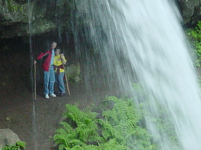
 Using the zoom, so you can recognize my lovely wife and handsome son in the cave.
|
 LeRoy and I exchanged places for this picture.
|
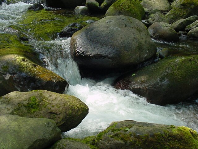
 This is the escape route for the fall pool, and it forms a little falls of its own. The greenery surrounding is vibrant.
|
 The Horsetail Creek continuing on its path toward the Horsetail falls nearly a half mile below.
|
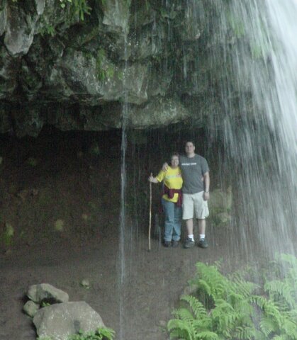
 Standing beneath Ponytail Falls, in the cave and looking out.
|
 On the other (western) side of Ponytail Falls, looking back.
|
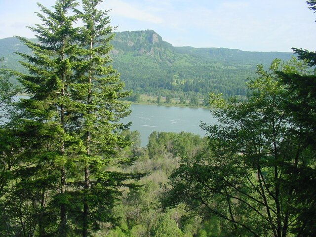 After nearly a mile of climbing up, with most of the way cutting through forest, where long-range views like this are not available, we finally reached this superb viewpoint. In 1987 Dotti, Rip, and I stopped at this point and had lunch. We were not is as good shape that time, and we needed something to eat after that long climb. Also, you couldn't ask for a better view for enjoying a picnic!
|
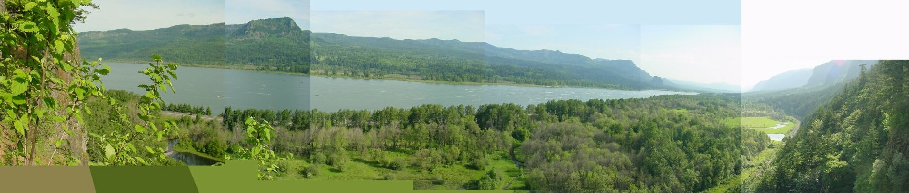 There was a little jut of rock from the side of the cliff, that formed a small "platform" perch that LeRoy went out on, and when he came back, he said that from there he could see the walls on both ends of the Gorge view. So, I carefully went out on it, and he was very right! Launching off from the nearly perfectly vertical, and very tall, cliff, there was a panoramic view of the Columbia Gorge stretching out below and to both sides. I pieced together 6 pictures to create this one panoramic shot. Notice off to the right the little stream that you saw in the earlier picture. Even though we had been running a very serpentine route, we had still managed to come quite a ways west on our hike.
|
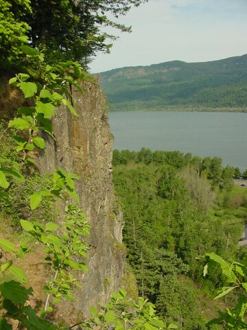 This shot captures the abrupt nature of the cliff face.
|
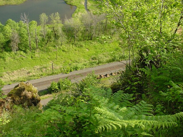 Looking straight down we see the rail line that runs to Portland to the west, and past Multnomah Falls and all points east in the opposite direction.
|
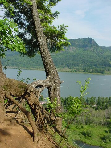 One last shot out from the viewpoint. These trees have run some very interesting roots into the wall. The ground has no doubt been eroding away from underneath them, as the cliff face is moving backward over time. The roots are reaching out and holding on for dear life, while allowing open spaces to form underneath them that you could just about crawl through. In the mean time the top of the tree continues to produce green growth as if nothing strange was going on down below.
|
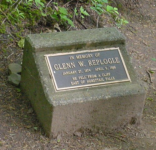 Here is a reminder of how dangerous it can be around the scenic wonders of this area. This plaque was placed in memorial of a 14-year old boy; who fell to his death from one of the cliffs on the other (east) side of Horsetail falls in 1988.
|
 This is not a waterfall, but it is a water drip. The greenery is hugging the wall where water slides down the face and wets the stones that cross the path at this point.
|
 Dotti and LeRoy pause to let Dad take a picture.
|
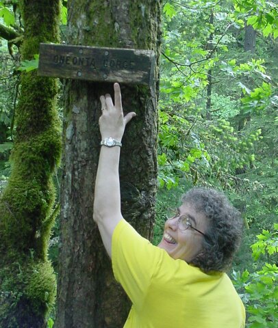 Dotti wants to make sure we don't miss the sign telling us what we are looking at.
|
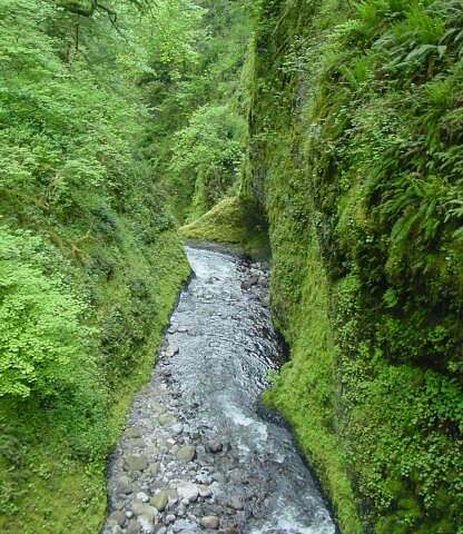
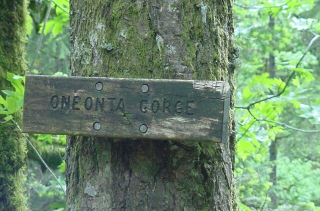 We have moved away from the Horsetail Creek and have now moved into the valley of the Oneonta Creek, which works its way out to the Columbia River through a Oneonta Gorge created by two very steep rock walls, and barely visible from this point. (At this time of year, the vegetation is running rampant and visibility is minimum as a result.) |
 Here is the best shot I could get of the Oneonta Gorge from where the sign calls it out. Towards the bottom of this picture you can see some whitewater, that is being formed by another falls that we could not see during our hike, but it is the termination point of the Oneonta Gorge. |
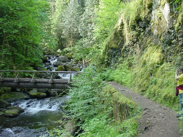
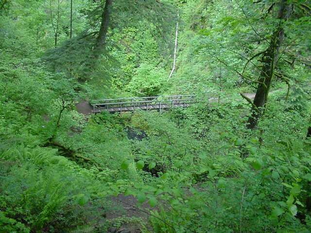 The 1.2 mile point of the hike, is the bridge across the Oneonta Creek. It lies below us. There are several switchbacks that are contained in this picture but they are well hidden by the growth. The first one leads to the trail right at the bottom of the picture. Then it doubles back a couple of more times before the trail reaches the bridge.
|
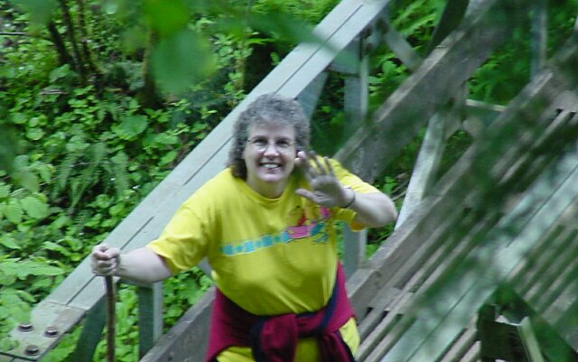 Looking down from one of the upper trail sections, I took this zoom of Dotti standing on the bridge.
|
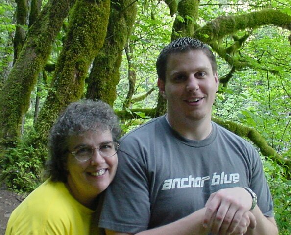
 LeRoy took this picture of Mom and Dad from the trail above.
|
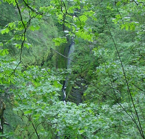
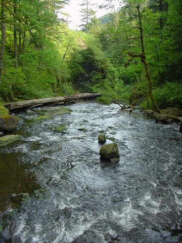
 This is the Oneonta Creek, taken from the bridge, and it is heading for the top of the falls at the end of the Oneonta Gorge.
|
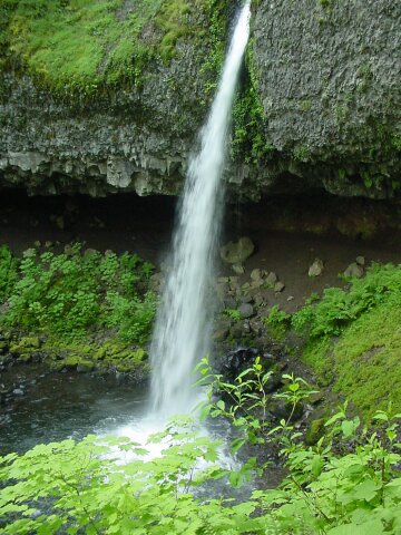
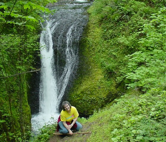 This is my lovely Dotti in front of the Oneonta Falls, taken from the west end of the bridge. These are the falls that are visible in the left picture at the very top of the page that was taken in 1997 by Dotti's brother Rip.
|
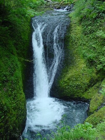 Oneonta Falls again. These falls are the third of the four we visited on this hike, and they are 1.2 miles from the start of the trail.
|
 The sun is getting higher in the sky, and the shadows are not as long as they were when we started our hike. Here Dotti and LeRoy stopped for a moment on so I could snap their picture on the wooden bridge.
|
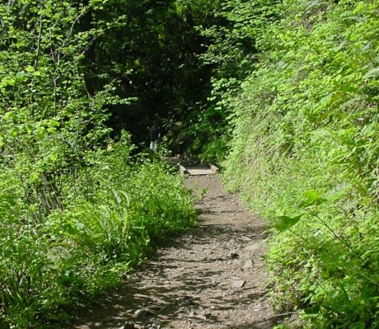 This shows the trail, composed of dirt and chunks of rock, leading to the wooden bridge, and then turning into what looks like the mouth of a cave, formed by trees closing in.
|
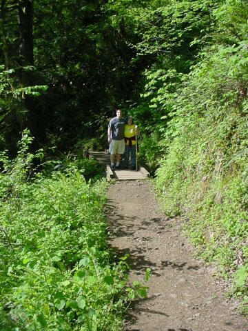
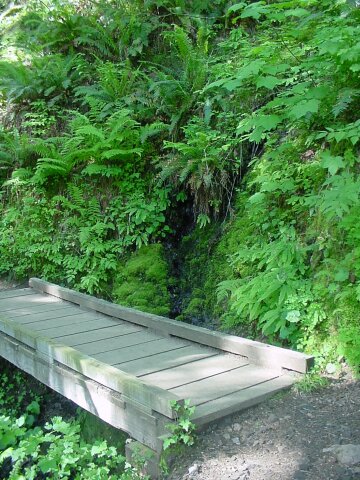 A little creek flows across the path, and the bridge spans it for us.
|
 Here Dotti and LeRoy let me get ahead for a while, and they were pausing for a moment as I took a couple of pictures. This is a very rough part of the path, cut right through solid rock. We had to be careful walking across the uneven surface to keep from turning an ankle.
|
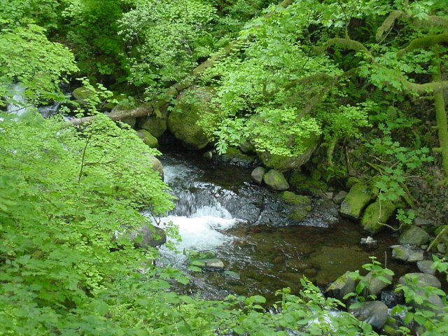
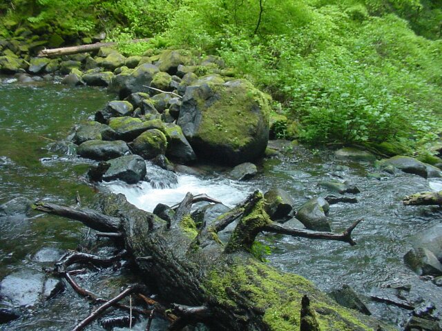
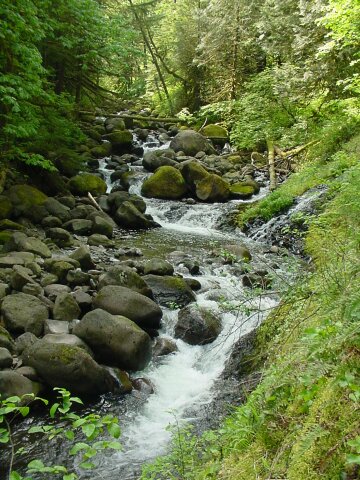
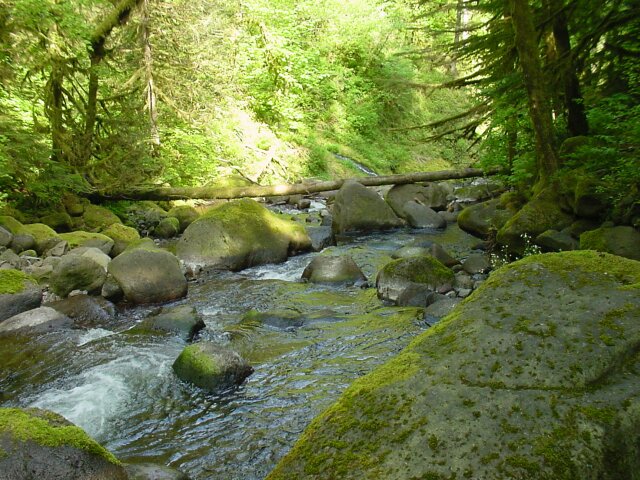
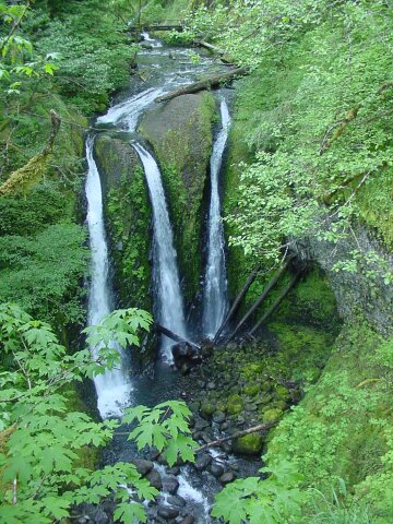 Our destination! Here the Oneonta Creek breaks into three separate channels as it passes over the rock surface, creating the Triple Falls.
|
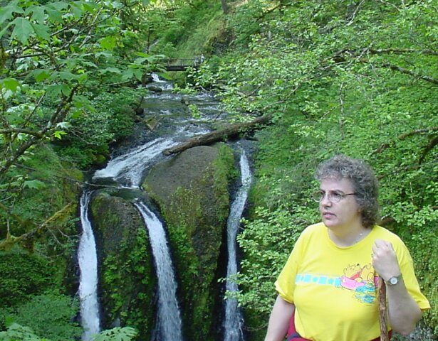 Here is Dotti with the Triple Falls behind her.
|
 Dotti and LeRoy, with the falls behind. Both Dotti and I had something heavy to wear to keep out the cold or the rain if it came. We both ended up with them tied around our waists as it got too warm for anything more than tee shirts.
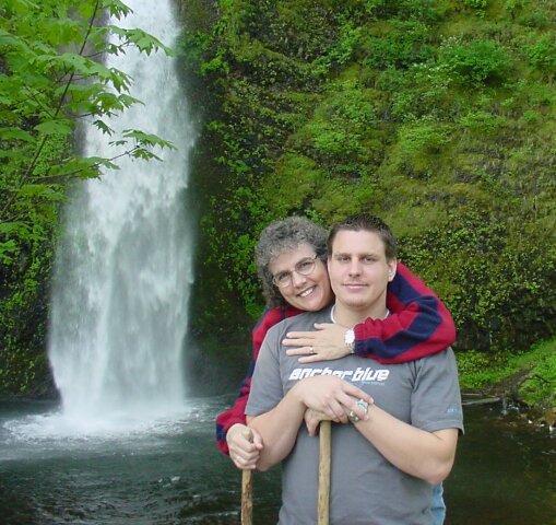
At the top of the page, on the right, you will see the that Dotti and I are standing in front of the Triple Falls for that picture that LeRoy took for us. |
 Continuing on above the Triple Falls, there is a bridge crossing the Oneonta Creek. I caught only a part of Dotti in this shot.
|
 LeRoy appears to be working out the answer in his head. Ah but what is the question? With the water, flowing behind, around, and under him, the setting is about as nice as can be found anywhere.
|
 Dotti joins LeRoy on the bridge.
|
 Looking up the Oneonta Creek from the bridge.
|
 And down the Oneonta Creek.
|
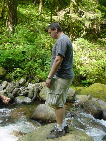 This is the farther point we went up the Oneonta Creek. Here we see LeRoy, poised, perhaps looking for a fish to catch.
|
 Looking down the Oneonta Creek.
|
 Upstream the Oneonta Creek, where we are not going to go this day.
|
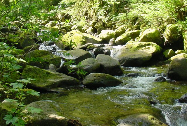
 Before heading back, we looked at this miniature falls and fall pool.
|
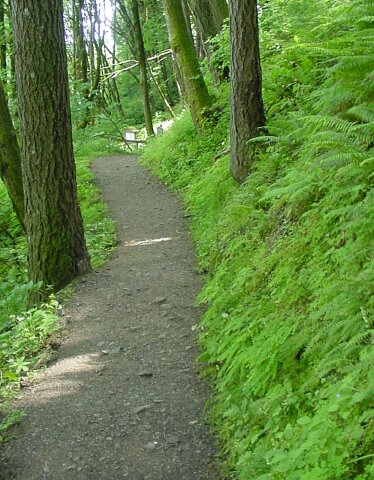
 On the way back, we decided to take an alternate route to the car, via Multnomah Falls. The plan didn't work out quite as planed, but it still was a nice excursion. When we came nearly back to the Oneonta Falls, we took the 400 trail west at the fork, instead of going back east across the falls and to our car. The 400 trail, which is what this picture is showing, does go to Multnomah Falls, but it ends up leading to the base of the falls rather than the top, and that became clear as we lost elevation all the way as we walked.
|
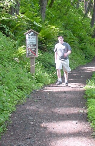
 Dotti (pretending?) to be tired and LeRoy smiling for the camera along trail 400.
|
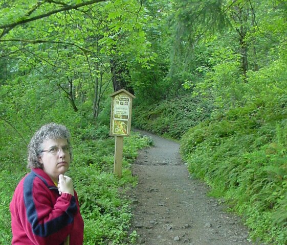
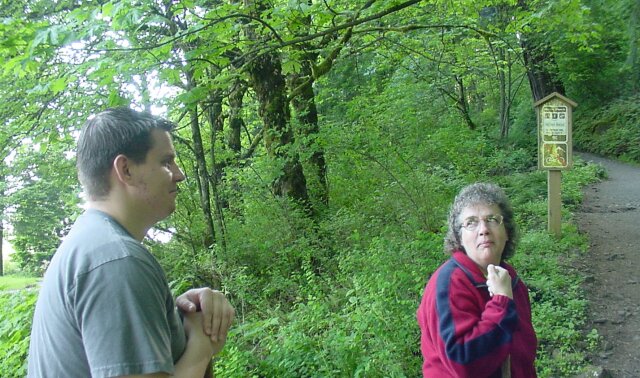
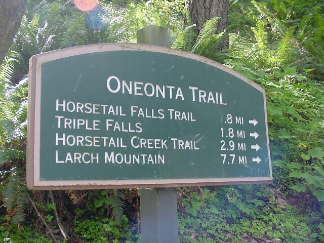
 Here we were at the crossroads. To the left, heading back the way we came, we see that the Gorge Trail no. 400 goes east, as does the Oneonta Trail No. 424. The Horsetail Falls Trail is also that direction, 0.8 mile away. The Larch Mountain trail (Multnomah Falls Trail) is still another 1.8 miles down 400. Trail 424 continues to the right (north) and the Columbia River Highway (which was clearly quite close behind me when I took this picture) is only 0.2 mile down the Oneonta Trail.
The fact that it was nearly 2 miles to the Multnomah Falls trail, and the trail was going to come out at the base of the falls rather than the top, and looking at trail 400 continuing off showed that it was not being kept up very well beyond this point, helped us to decide to head to the highway and walk back to the car via that route. |
 Looking down the trail towards the highway.
|
 LeRoy coming down the last stretch of the Oneonta Trail.
|
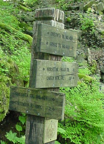
 The sign at this trailhead shows that we had just come 1.8 miles from the triple falls.
|
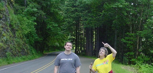 Walking back on the Columbia River Highway, Dotti is pointing up at the cliffs that we were on top of not too long ago.
|
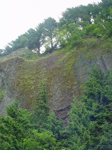 The trees are lined up like a fence along the top of the basalt cliffs that are so common in the Columbia Gorge.
|
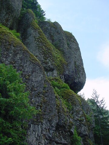 This rocks are put together like they were glued in place, and every so often the break loose and come tumbling down.
|
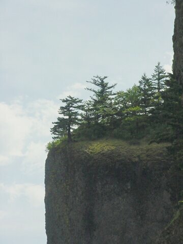 Sharp drop.
|
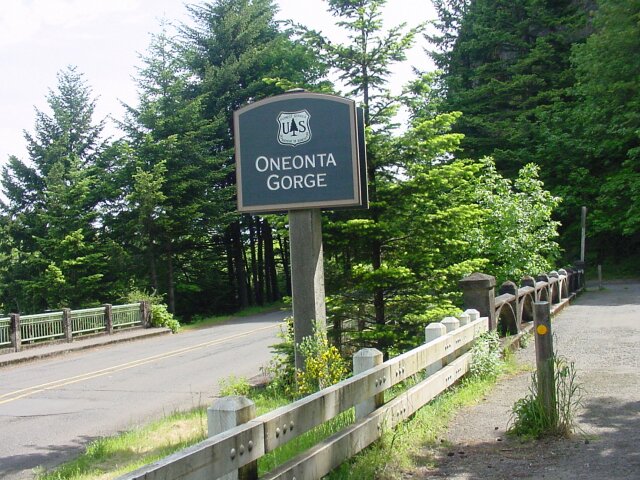 This is the other side of Oneonta Gorge. From this end, at least from the road, you cannot see much of the gorge.
|
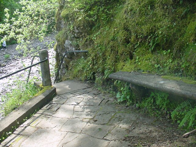 Here is cozy place for a resting spot, with a set of stairs heading for the water, and the Oneonta Gorge. The stairs will keep for another day, but that bench
|
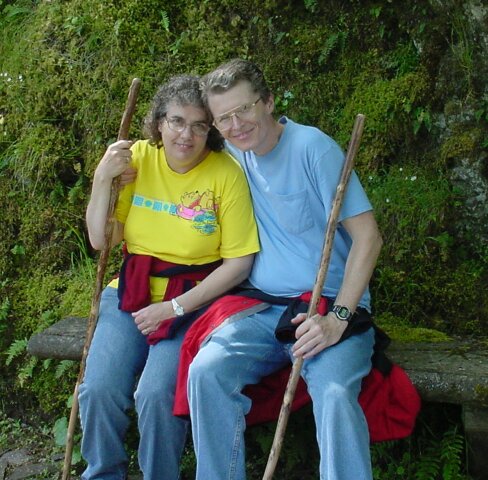 Dotti and I just had to test it out.
|
 And this brought us to the end of our hike, as we concluded the the half-mile hike along the highway, back to the parking lot at the Horsetail Falls.
We hopped into our car and drove back to Multnomah Falls, 2 miles west, and got another trail map, and some additional information from the info center concerning later hikes. It was a fun outing and I am really happy that we have started this new "tradition." |