MACLEAY TRAIL
May 31, 2003
The Coon Family Hiking Club
Official Hike #3
5.2 miles - 2 hours 40 minutes
|
For our third Coon Family Hiking Club outing, we chose a hike that was entirely within the city limits of Portland. I was on call for this weekend, and so we had to hike somewhere where my pager could be reached. Fortunately, the hike along the Macleay Trail and the portion of the Wildwood Trail leading to the Pittock Masion that we went on, are all inside of Portland where my pager could respond to a page.
Although the hike was within Portland, you would never know that by looking at most of the hiking trail. Portland is tough to match for natural beauty inside the city limits! |
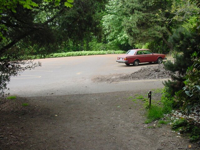
 After driving to downtown Portland, we cut northwest through the city to where it nestles up against the hills, and Upshur Road comes to its western end. At this point there is a little parking lot, and there were still a couple of parking slots open, when we pulled in a little after 8:00 AM.
|
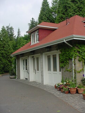
 Looking to the left of where we parked, past the sign that said not to leave any of your valuables in your car, there was a building with restrooms, attached to a garage-like area that houses the Forest Park Ivy Removal Project. Its role in life is to remove English Ivy from invading the forest and killing trees and all other plants. (They have cleared hundreds of acres so far.) One of the restrooms was open, but being cleaned. Fortunately, the young man who was doing the cleaning was happy to relinquish his domain for a few moments. The Ivy Project was closed when we arrived, but it had opened up by the time we got back, after our hike.
|
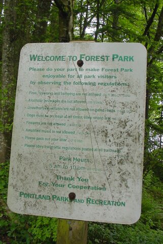
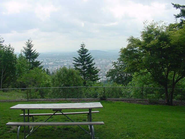
 This trailhead did give hints about being in the city limits, when compared with the ones we have been visiting out in the wild. Here, still continuing to move to the left from the parking lot, you see some signs about the Forest Park, a covered picnic table, and in the background, the bridge which allows Thurman Road to continue west into the hills.
|
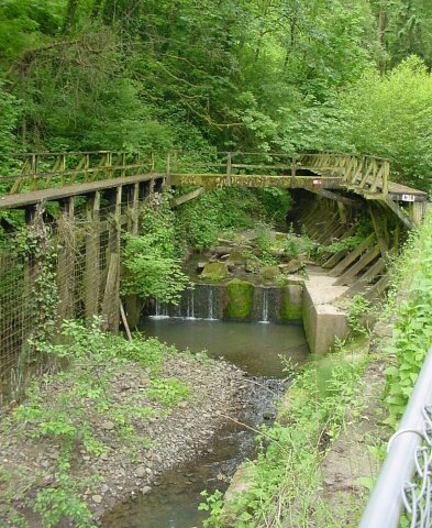
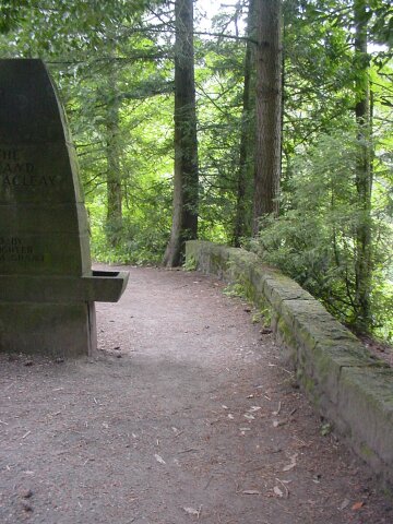
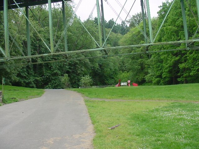 Finally, we see the actual trail heading off, momentarily to the south. The bridge hangs low overhead, and a park with some sculptures can be seen in the distance.
|
 Here is Dotti, still looking a bit tired after I woke her up early to make it here before any crowds might arrive. She did not yet appear to be in the spirit of things, but still, she was nice enough to pose in front of the bridge and trail, and to hold my walking stick while I snapped a few pictures.
|
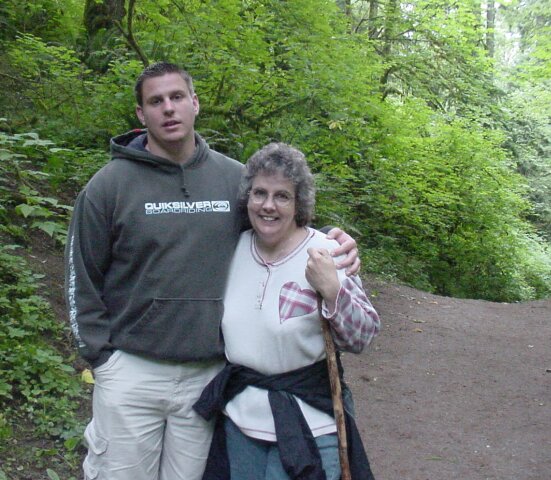
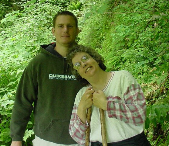
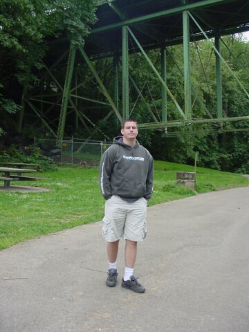 LeRoy also appeared just a bit tired this morning after his early morning wakeup call from Dad for the hike. But he is patiently waiting for me to finish shooting the pictures so we can get on the way. Behind him you see the eastern terminus of the bridge.
|
 Looking up at the bridge on its western end. We could hear what appeared to be pidgins cooing above us, and I was a bit concerned that they would be using us for target practice, but fortunately they either didn't try, or were very bad shots.
|
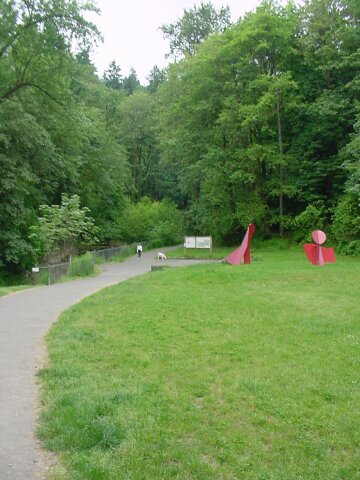 Looking south along the Lower Macleay Trail. Off to the left we are approaching Balch Creek. To the right we can see some sculptures and another trailhead sign. Note that there is a lady walking with her dog here. We saw many signs posted along the trail that all dogs are required to be on a leash. We passed many dogs during our walk, but never saw a single one on a leash. I was very happy to have my walking stick with me, just in case one of the dogs decided to "protect his master" when passing by. Apparently all the hikers with dogs thought the rules were only for the other dog owners. It was the only real complaint that we had about the walk, and the large number of dogs was one of the few indications that we had that this was indeed a walk inside the city limits of Portland. Other than that, much of the trail looked like it could have been deep inside the Columbia Gorge!
|
 LeRoy and Dotti hitting the trail, and looking off to the left at a little manmade waterfall. Ahead, the path leaves the trailhead clearing and cuts into the forest.
|
 Here is the aforementioned "waterfall" with a raised walking platform around it. The stream supplying the water is called Balch Creek. This creek is about 5.5 miles long, and empties into the Willamette River to the northeast of this point. The creek was named for Danford Balch, who was a huge landowner of the area early on in Portland's history. He had a large family, and due to a feud with the local Stump family, he ended up killing Mortimer Stump, the oldest Stump boy, after he ran off to Vancouver, across the river, with Balch's 16-year old daughter, to elope. As a result, Danford Balch was the very first man to be legally hanged in Portland. This Creek was the original water supply for the young city of Portland. It is a small stream, but it does flow year-round, and it even has a population of trout in it.
|
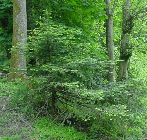 This is a testament of what selectively available sunlight can do, and the determination of plant life to survive. This Christmassy appearing tree has extended its lower branches on one side, out away from the shadow of the trees around it, in order to captures more sunlight. Its extended reach is quite impressive.
|
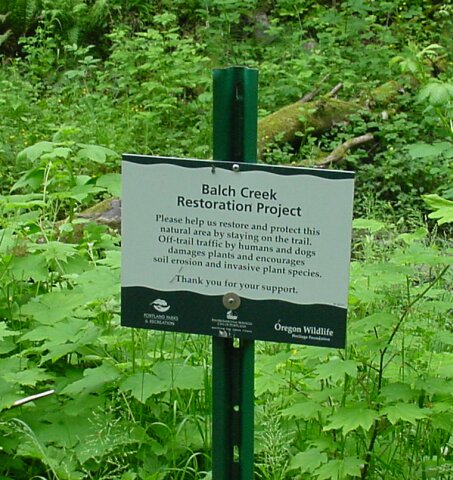 They are constantly working on improving the conditions of the wildlife habitats in Oregon, and inside the city limits the task is the most difficult. One of the reasons for the leash laws on this particular trail is that they don't want the dogs molesting the surrounding environment by digging or trampling the vegetation off the path.
|
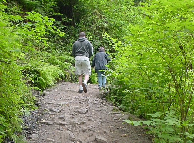
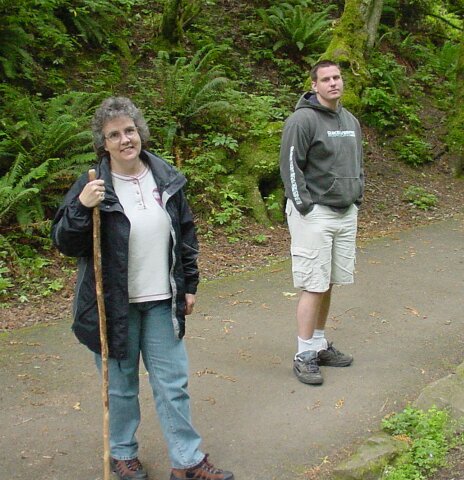 Now we have done some walking, Dotti has worked her way up to smiling for the camera, and LeRoy is thinking about it still. You can tell from the lighting that the sky was overcast. The forecast said that it would be drizzling, but fortunately it never did.
|
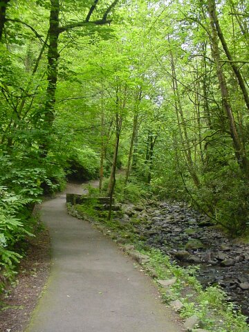 We were all amazed by the fact that this lovely trail was inside the city limits of Portland. The longer we walked, the more it seemed like we were out in the wild. Up ahead is visible a stone semi-circular structure, that is set off from the path. The trail so far has been paved, but that was not the case for most of the trail.
|
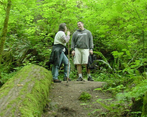
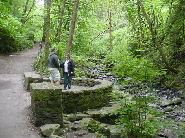 Here Dotti and LeRoy are deep in discussion about the minimum hydraulic power required to move the large stones in the creek beside them. The tree jutting out from the bank on the right appears to be leaning over to listen to their intriguing discussion. (Up the trail in the distance is yet another hiker with an unleashed dog.) Just to the left of LeRoy you can see a small green sign
|
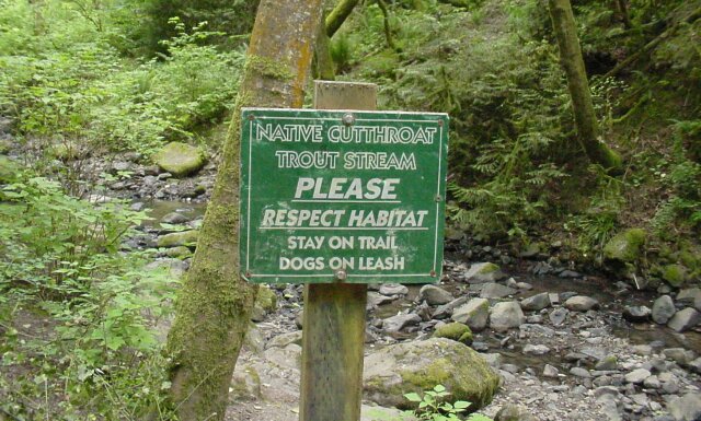 The small green sign announces the fact that trout inhabit the stream, and requests people to be thoughtful of the environment. Even saying please doesn't seem to do the trick for those with dogs.
|
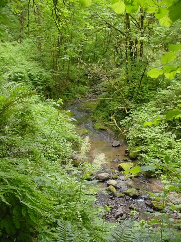 The lush greenery surrounding Balch Creek was just gorgeous! We really enjoyed the sound of the running water, and all the vegetation that looked like it belonged anywhere but inside a city.
|
 Our paved path has disappeared, and now we are walking on dirt and stone. As is visible in this shot, I had been stopping to take pictures along the way so far on the trip, and as a result was catching up most of the time.
|
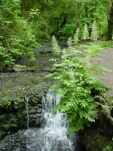 What would a hike be without a waterfall
even if it is only a couple of feet high? After running over a bridge that crosses Balch Creek, the path continues on to the right of the stream.
What would a hike be without a waterfall
even if it is only a couple of feet high? After running over a bridge that crosses Balch Creek, the path continues on to the right of the stream.
|
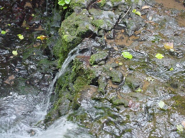 Looking down at the waterfall, from just over the bridge. There are a number of leaves visible in the water. This is the last day of May. Can you imagine how many red and yellow leaves will be filling this waterway in October?
|
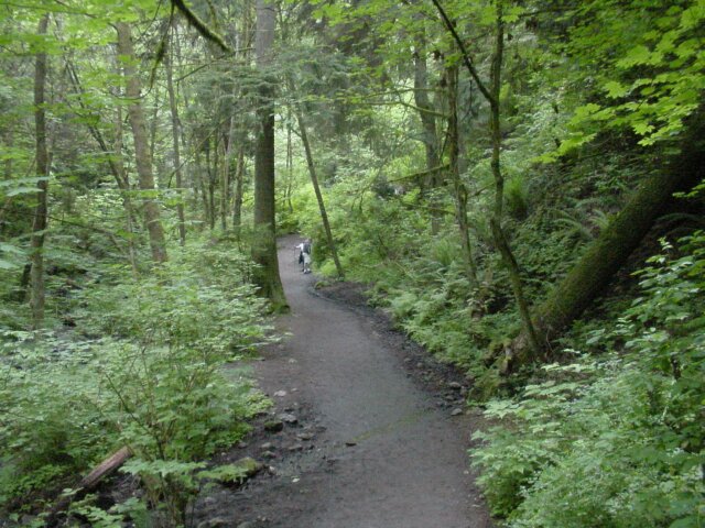
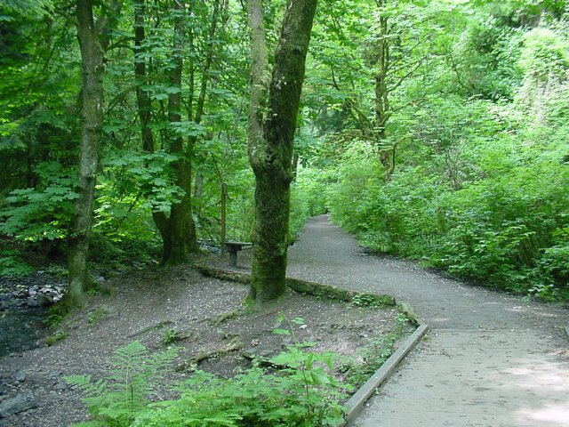
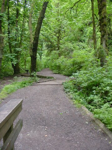 From the bridge, looking southwest up the Lower Macleay Trail, which we have been walking on so far. At this point is wide and smooth, and of course surrounded by lush growth.
|
 LeRoy is almost up to smiling, and Dotti is having no problem smiling, having finally fully awakened. We had walked about 0.4 miles at this point.
|
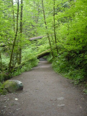 Looking ahead, we see where two giants of the forest have toppled across the path. On the left is a boulder that Dotti will be standing on shortly
|
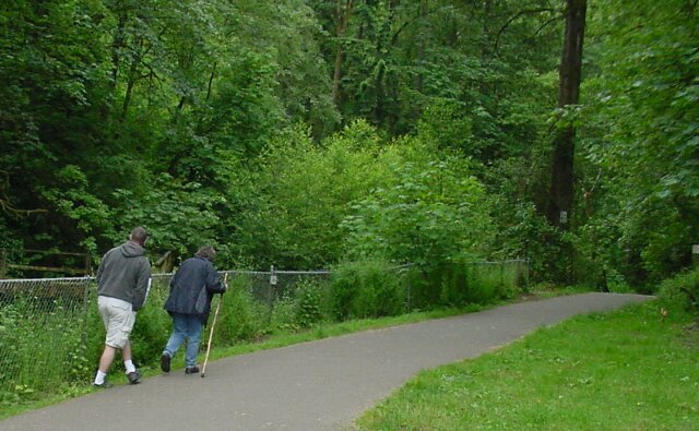
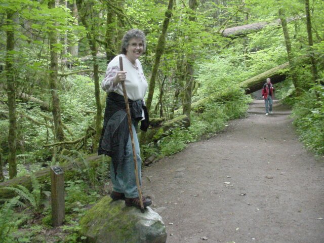 LeRoy took this picture, and sure enough, there Dotti is looking lovely as always! Of in the distance you can see Al standing by the first fallen tree. Right behind Dotti, you will see a four-by-four post sticking up with a small black sign on it. Even though the book I used to discover this hiking trail had pointed this out as something to look for, we completely missed it on the way up. Fortunately, on the way down we found it, thanks to LeRoy reminding us to look.
|
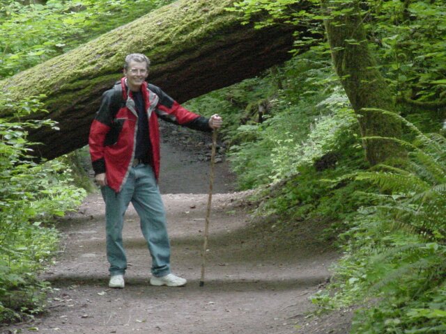 Here is the only other picture of Al that we took on the hike. (LeRoy took this one as well.) You can see that the tree leaves low clearance across the trail, running from about 3 feet on the left, to about 5 feet on the right.
|
 This is the second fallen tree, and while it doesn't limit our headroom on the trail, it did supply an interesting sight. It fell across the creek and the trail, with its roots high up the hill (behind me in this shot), and its top ending up well on the other side of the creek. When it crashed down, it shattered the upper section, into separate pieces, which are visible running up the far bank.
|
 Dotti and LeRoy are far ahead again after my snapping a few tree pictures. (I also had to wait for a hiker to pass with yet another unleashed dog, that seemed to know I was taking pictures and ran quickly to get in the shot.) Dotti has finally gotten too warm with the coat on, and has tied it around her waist.
|
 This map was on a sign at the 0.9 mile point of our walk. Here the Lower Macleay Trail joins up with the nearly 30 mile long Wildwood Trail. (We plan to do some extensive hiking along that trail in the future.) The signs along the trail show the vandalism that is to be expected within the city limits, but most of the trail was free of other reminders of the trail's location. This map shows the entire Wildwood Trail in white. The area where we were walking is at the lower right hand side where there is a hole punched in the map, with a gray circle surrounding it.
|
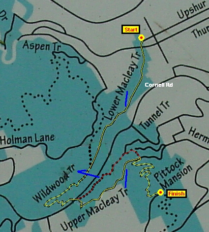 I enlarged the section of the map that shows where we were hiking. I edited out the hole that was punched into the sign, and I marked our walking path from start to finish. The Lower Macleay Trail is fairly level, with only a gradual incline. It is a very easy hike. Once we crossed Cornell Road on the Wildwood Trail, things changed and it became a moderate hike as we started up the side of the fairly steep hill, using the Upper Macleay Trail for our ascent. (When we returned we use the Wildwood Trail for that section, marked in red on the map.)
|
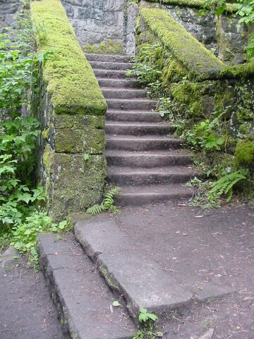 At the location of the above map sign, at the junction of the Lower Macleay and Wildwood trails, there stand the ruins of an old stone house, which was part of the Balch family homestead. Here are the stone steps leading up. (With all of the trees standing around this site, it shows their determination to stay a long time, that they built in stone.) The green moss is covering the old stone handrails, lining the stone steps where the Balch children must have run happily up and down.
|
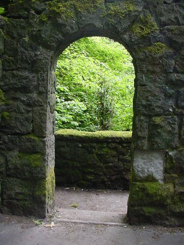 From inside the single upper story room looking out through the stone arched doorway to the northeast, and the stairway shown in the previous picture.
|
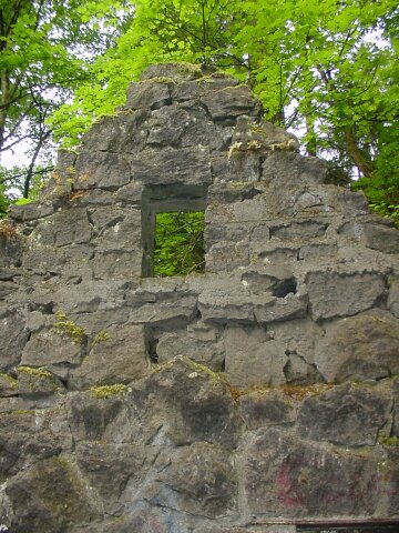 There are two identical walls still standing, on either end of the single room. At the top of each there is a stone window opening cut, above the arched doorway.
|
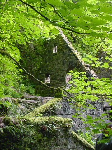
 From the opposite end of the building from where the stone steps shown above were located. The sun is breaking through the clouds now, casting an eerie light across this deserted, and roofless structure.
|
 One more view from this western side of the house, after the sun slid behind a cloud for a moment. The stairway is covered in moss and the trees reach out their branches to cover the sad old structure.
|
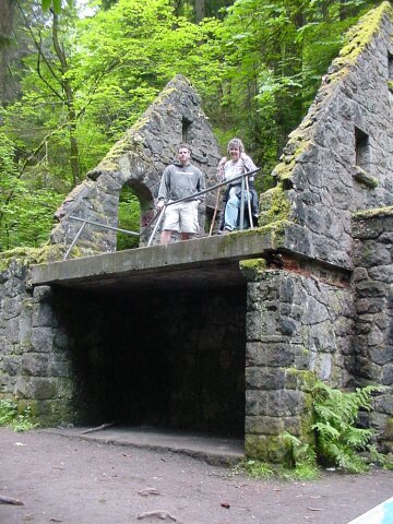 LeRoy and Dotti looking down from the upper floor.
|
 Here we have swapped places. Dotti and LeRoy are looking at the sign with the map on it. To the left is the way that we came on the Lower Macleay trail. To the right is where we were heading: up the Wildwood Trail towards its beginning, which, if we had continued all the way, would have only taken us 5.5 miles, and brought us very close to the Portland Zoo. (We were discussing actually doing that, but in the end decided against it.)
|
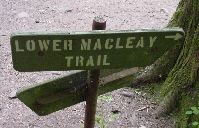 The sign pointing to the trail back to our car.
|
 On the other side of the sign, we see a marker indicating the Wildwood Trail. To the left, this trail goes another 24 plus miles into some very beautiful forest, part of which I drive through nearly every day coming home from work. It holds great promise for some great future hikes for the Coon Family Hiking Club! To the right, it extends for 5.5 miles to its beginning. We are going to walk less than 2 miles of that on this hike, but we plan to do the rest in the not too distant future. |
 We did a lot of uphill since the last picture, and this is LeRoy and Dotti coming out at the top of our walk at the parking lot for the Pittock Mansion. |
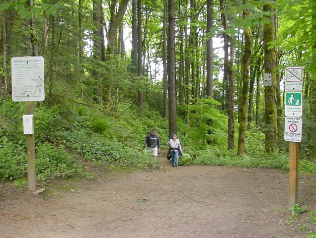 Here you can see the trailhead signs bracketing the trail, with LeRoy and Dotti walking towards us.
|
 Here is the sign on the left. Once again, the signs inside the city limits show a great deal more wear and tear than the ones you find in the more remote areas.
|
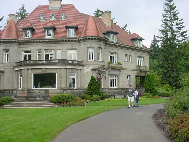
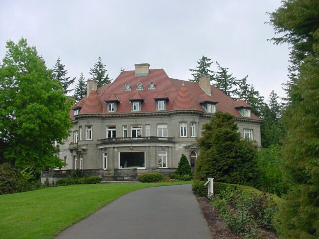
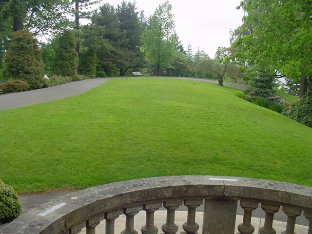
 Our destination for today. This parking lot is located on the grounds of the Pittock Mansion.
|
 With the gift shop on the left, the Pittock Mansion stands in the background, as the driveway curves to the left under a covered carport allowing passengers to exit, while keeping dry. There is a sign on the right that tells a little bit about the Pittock Family.
|
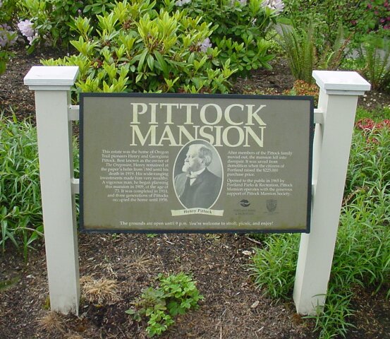 Henry Pittock was the owner of the Oregonian newspaper from 1860, one year after Oregon became a state, until 1919 when he died. He was a very wealthy man, as is demonstrated by this mansion, which was completed only 5 years before he died at the age of 78. Both Henry and his wife Georgiana came across the Oregon trail in their youth with their respective families. The mansion was completed in 1914, and 3 generations of Pittocks lived here until 1958. Apparently at that time they just moved out (probably couldn't afford Uncle Sam's exorbitant rent charges) and left it at that time. The citizens of Portland saved it from demolition when they purchased it, restored it, and opened it to the public in 1965.
|
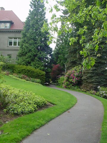 A scenic path leading to the side of the house.
|
 Looking back in the general direction from which we arrived, with the gift shop on the right. Dotti was sad to find that, thanks to our early start this morning, the shop was closed, and would remain so for 2 more hours.
|
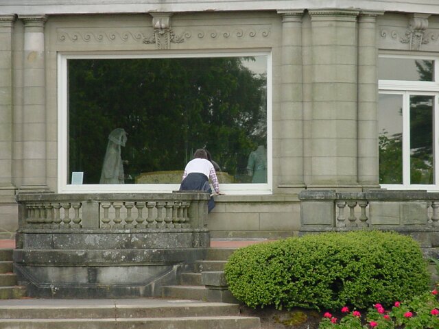
 This sign was mounted on the side of the mansion, under the carport. It was 10:00 AM and it was the last day of May. That meant that we would have to wait 2 hours before it would open for us on this day. We could not come to an unanimous decision to continue walking up the wildwood trail for an hour and then return when it opened. So, after walking the grounds for a while, we headed back down to the car, saving the visit to the mansion for another day.
|
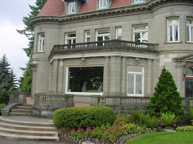 This is the picture window, and two side viewing windows, on the front side of the mansion. If one stood in the alcove where the windows are mounted, he could command a 180-degree view of the city of Portland below.
|
 Here are LeRoy and Dotti looking at the mansion, with the covered carport seen behind them on the right. There is quite a bit of greening that has occurred around the upper windows, and the bases of the chimneys. It appears that they may have used copper to seal these areas, and like the Statue of Liberty, the metal has corroded into appearing green.
|
 Dotti checking out the furnishings.
|
 Anther sign talking about the builder and his wife.
|
 With all of the growth beyond the fence surround their "front yard" it is difficult to capture the breathtaking view that the Pittocks must have had when the mansion was built, but we can get a fair idea of what it must have been like.
|
 Here we see the downtown area, with the Marquam Bridge off to the right, carrying Interstate 5 across the Willamette River.
|
 Looking back at the mansion.
|
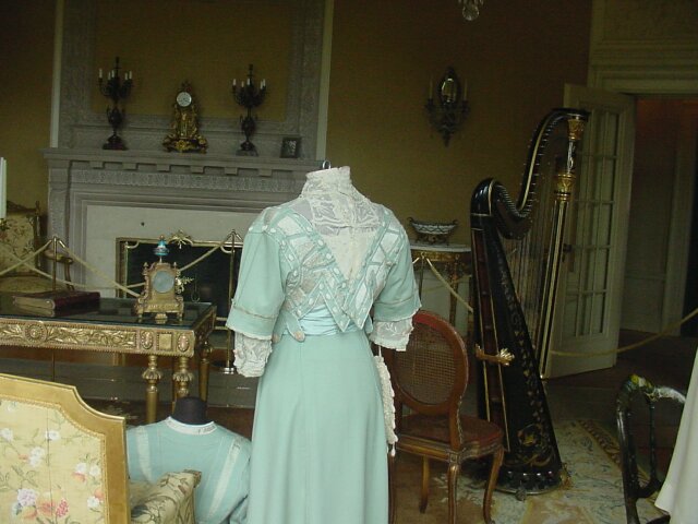 Doing a little peeping, we catch a view of the drawing room, with a harp, period dress and clocks, and other furnishings.
|
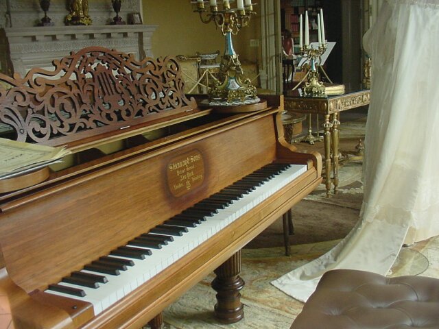 Looking in another window, we see a very nice piano.
|
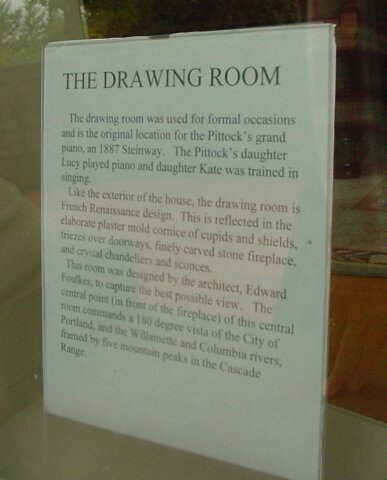 And a sign in the window giving information about the room.
|
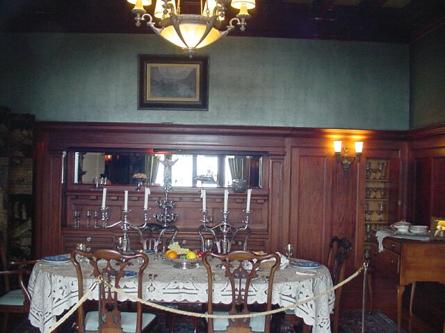 The dinning room. (If you look closely in the mirror, you can just see my reflection.)
|
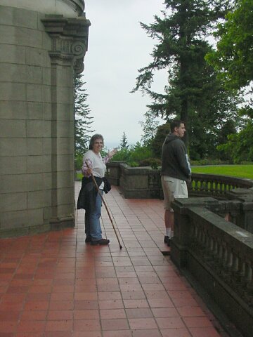 Dotti was showing her amazement at how nice this mansion is. LeRoy admiring the view of the "front yard" and the city below.
|
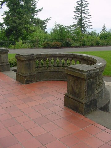 Some of the artistic stonework on the "front porch."
|
 A look at the "front yard" from the "front porch."
|
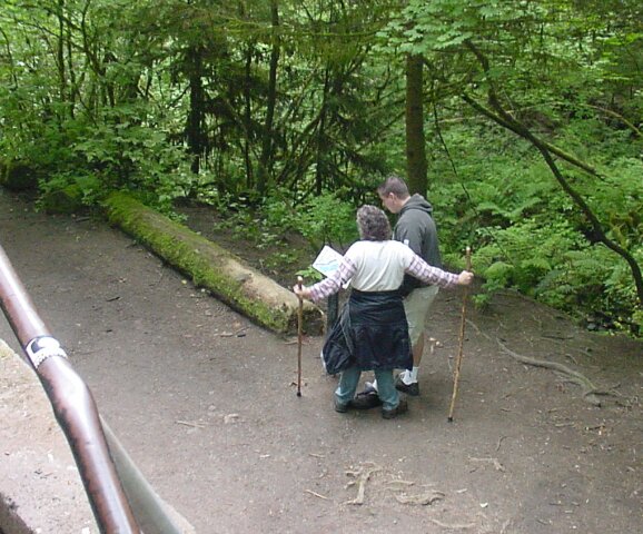
 Here we are back on the trail, and LeRoy is looking up the coefficient of friction for one of the trail rocks we had to cross, as Dotti is eagerly awaiting the results of his search. Well, maybe he is just checking the map.
|
 On the Wildwood Trail heading down towards Cornell Road. LeRoy and Dotti stopping for a picture.
|
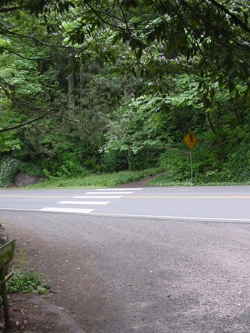 After crossing Cornell Road, and looking back up the Wildwood Trail towards the Pittock Mansion.
|
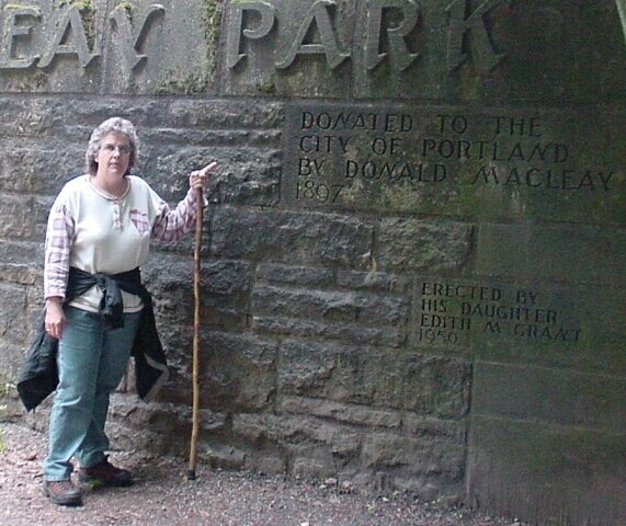 Dotti pointing at the sign that says the Macleay Park was donated to Portland in 1897 by Donald Macleay. The sign below that says that his daughter was the one responsible for the rock wall that Dotti is standing in front of.
|
 Around the rock wall the Wildwood Trail continues.
|
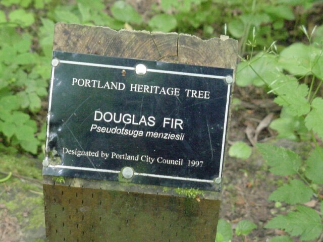 We have taken a bit of a jump here. We have gone from Cornell Road, down to the junction of the Wildwood and Lower Macleay trails, and headed down the Lower Macleay trail halfway to our van. We have returned to the point where the two fallen trees were at, and the boulder that Dotti was posing on in an earlier picture. Here is the four-by-four post that was behind her and what was written on it. The tree that this sign refers to is, stands 241 feet tall, and is the tallest tree inside the city limits of Portland, and is thought to be the tallest tree inside any major American city.
|
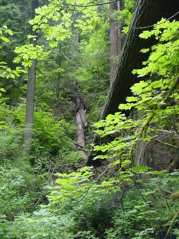
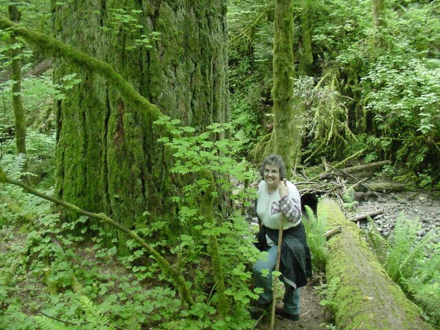 Here is Dotti standing next to the 241 foot tree. Notice behind her is yet another fallen giant. We saw many of them along the path.
|
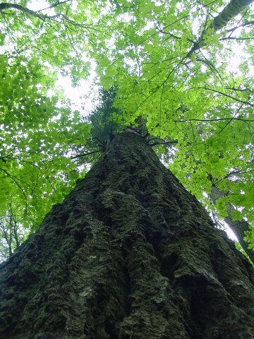 Looking up the giant Douglas Fir.
|
 I was standing beside the Douglas Fir looking back up to the trail in time to catch LeRoy smiling as Dotti explains her theory about
|
 Another look at the beautiful Lower Macleay trail.
|
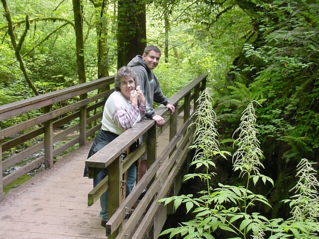 This is the bridge that runs over Balch Creek right above the waterfall we saw in an earlier picture. We are getting close to the van now.
|
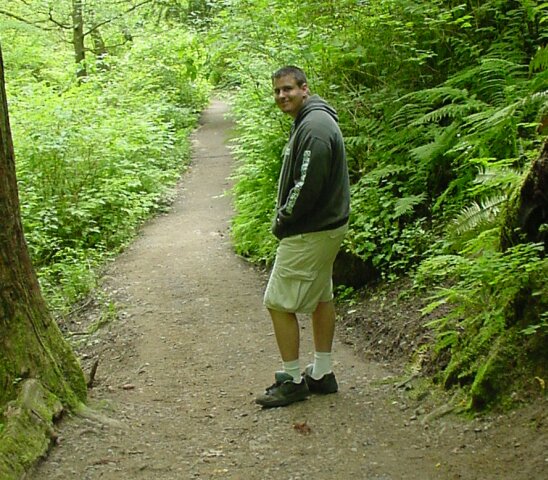 LeRoy smiling for the camera as we walk the last few steps to the finish of our hike.
|